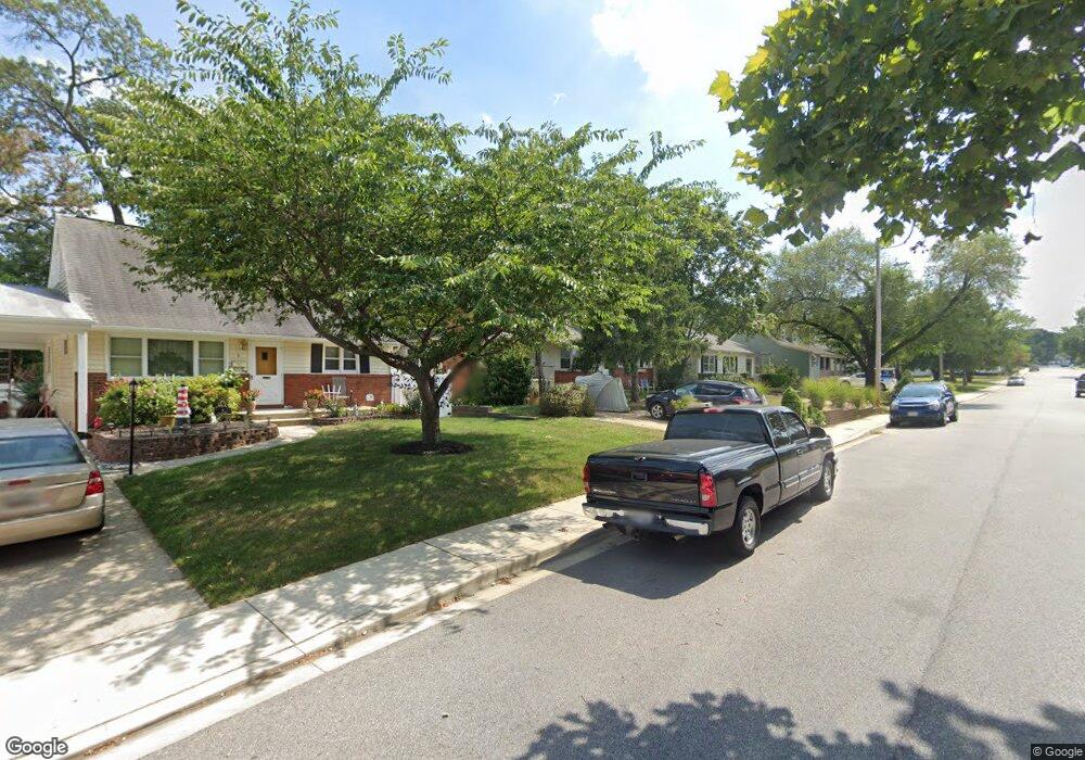
11 Baylor Rd Glen Burnie, MD 21061
Estimated Value: $333,440 - $439,000
--
Bed
1
Bath
1,482
Sq Ft
$264/Sq Ft
Est. Value
About This Home
This home is located at 11 Baylor Rd, Glen Burnie, MD 21061 and is currently estimated at $391,860, approximately $264 per square foot. 11 Baylor Rd is a home located in Anne Arundel County with nearby schools including Glen Burnie Park Elementary School, Old Mill High School, and Granite Baptist School.
Ownership History
Date
Name
Owned For
Owner Type
Purchase Details
Closed on
Sep 15, 1994
Sold by
Emerson James J
Bought by
Laasmar Glen A
Current Estimated Value
Home Financials for this Owner
Home Financials are based on the most recent Mortgage that was taken out on this home.
Original Mortgage
$114,600
Interest Rate
8.38%
Purchase Details
Closed on
Aug 16, 1989
Sold by
Chapman Mervin T
Bought by
Emerson James J
Home Financials for this Owner
Home Financials are based on the most recent Mortgage that was taken out on this home.
Original Mortgage
$90,000
Interest Rate
9.96%
Create a Home Valuation Report for This Property
The Home Valuation Report is an in-depth analysis detailing your home's value as well as a comparison with similar homes in the area
Home Values in the Area
Average Home Value in this Area
Purchase History
| Date | Buyer | Sale Price | Title Company |
|---|---|---|---|
| Laasmar Glen A | $118,000 | -- | |
| Emerson James J | $120,000 | -- |
Source: Public Records
Mortgage History
| Date | Status | Borrower | Loan Amount |
|---|---|---|---|
| Closed | Laasmar Glen A | $114,600 | |
| Previous Owner | Emerson James J | $90,000 |
Source: Public Records
Tax History Compared to Growth
Tax History
| Year | Tax Paid | Tax Assessment Tax Assessment Total Assessment is a certain percentage of the fair market value that is determined by local assessors to be the total taxable value of land and additions on the property. | Land | Improvement |
|---|---|---|---|---|
| 2025 | $2,754 | $299,800 | $143,500 | $156,300 |
| 2024 | $2,754 | $287,000 | $0 | $0 |
| 2023 | $2,667 | $274,200 | $0 | $0 |
| 2022 | $2,484 | $261,400 | $143,500 | $117,900 |
| 2021 | $4,881 | $253,600 | $0 | $0 |
| 2020 | $2,357 | $245,800 | $0 | $0 |
| 2019 | $2,317 | $238,000 | $123,500 | $114,500 |
| 2018 | $2,409 | $237,600 | $0 | $0 |
| 2017 | $2,199 | $237,200 | $0 | $0 |
| 2016 | -- | $236,800 | $0 | $0 |
| 2015 | -- | $228,667 | $0 | $0 |
| 2014 | -- | $220,533 | $0 | $0 |
Source: Public Records
Map
Nearby Homes
- 607 Marshall Rd
- 615 Carolyn Rd
- 612 Carolyn Rd
- 4 Ridgely Rd
- 706 Mayo Rd
- 505 Baylor Rd
- 7685 Quarterfield Rd
- 521 Baylor Rd
- 366 Phirne Rd W
- 1423 Braden Loop
- 1475 Braden Loop
- 516 Joy Cir
- 7728 Lexington Ct
- 7922 Crain Hwy S
- 112 Kindred Way
- 1324 Ray Ln
- 504 Elizabeth Rd
- 267 Truck Farm Dr
- 306 Woodleaf Ct
- 528 Glen Ct