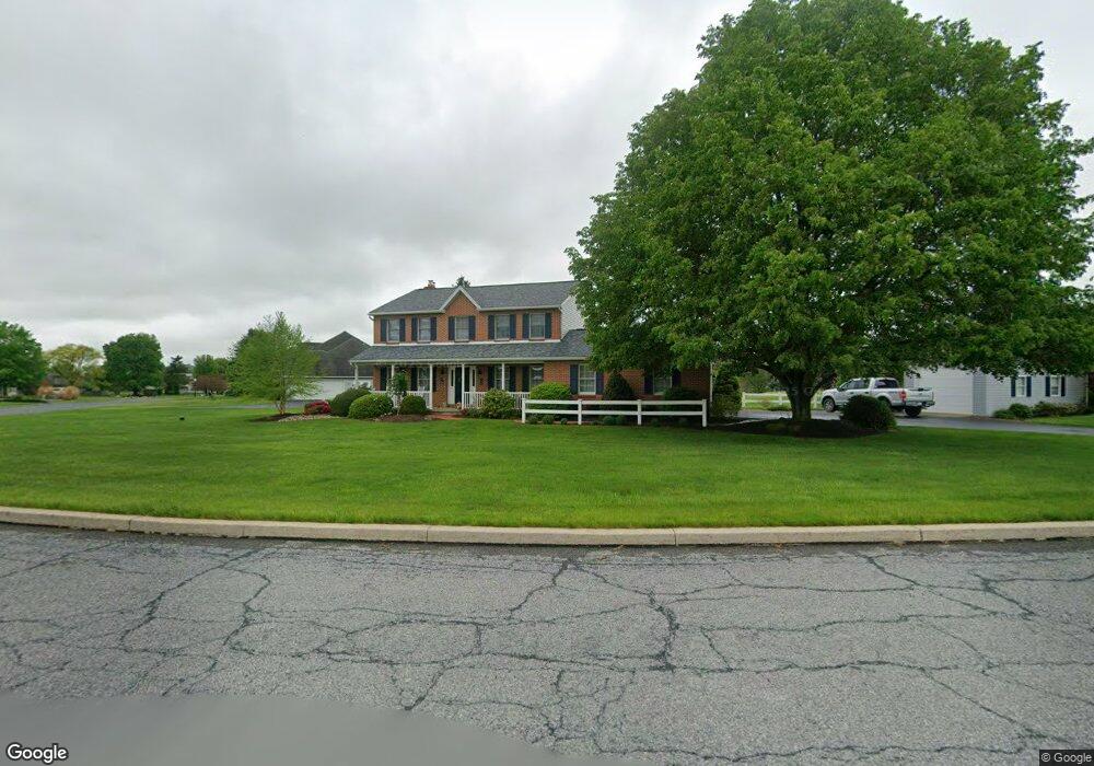
11 Berry Cir Mertztown, PA 19539
Maxatawny NeighborhoodEstimated Value: $441,240 - $631,000
4
Beds
3
Baths
2,232
Sq Ft
$229/Sq Ft
Est. Value
About This Home
This home is located at 11 Berry Cir, Mertztown, PA 19539 and is currently estimated at $511,060, approximately $228 per square foot. 11 Berry Cir is a home located in Berks County with nearby schools including Kutztown Area Senior High School.
Ownership History
Date
Name
Owned For
Owner Type
Purchase Details
Closed on
Aug 26, 2004
Sold by
Vink Timothy N and Vink Mary A
Bought by
Cossman Ii William E and Cossman Eileen
Current Estimated Value
Home Financials for this Owner
Home Financials are based on the most recent Mortgage that was taken out on this home.
Original Mortgage
$187,000
Outstanding Balance
$93,509
Interest Rate
6.02%
Mortgage Type
Purchase Money Mortgage
Estimated Equity
$417,551
Create a Home Valuation Report for This Property
The Home Valuation Report is an in-depth analysis detailing your home's value as well as a comparison with similar homes in the area
Home Values in the Area
Average Home Value in this Area
Purchase History
| Date | Buyer | Sale Price | Title Company |
|---|---|---|---|
| Cossman Ii William E | $262,000 | -- |
Source: Public Records
Mortgage History
| Date | Status | Borrower | Loan Amount |
|---|---|---|---|
| Open | Cossman Ii William E | $187,000 |
Source: Public Records
Tax History Compared to Growth
Tax History
| Year | Tax Paid | Tax Assessment Tax Assessment Total Assessment is a certain percentage of the fair market value that is determined by local assessors to be the total taxable value of land and additions on the property. | Land | Improvement |
|---|---|---|---|---|
| 2025 | $1,800 | $147,400 | $30,000 | $117,400 |
| 2024 | $6,088 | $147,400 | $30,000 | $117,400 |
| 2023 | $5,892 | $147,400 | $30,000 | $117,400 |
| 2022 | $5,892 | $147,400 | $30,000 | $117,400 |
| 2021 | $5,892 | $147,400 | $30,000 | $117,400 |
| 2020 | $5,892 | $147,400 | $30,000 | $117,400 |
| 2019 | $5,892 | $147,400 | $30,000 | $117,400 |
| 2018 | $5,892 | $147,400 | $30,000 | $117,400 |
| 2017 | $5,850 | $147,400 | $30,000 | $117,400 |
| 2016 | $1,406 | $147,400 | $30,000 | $117,400 |
| 2015 | $1,406 | $147,400 | $30,000 | $117,400 |
| 2014 | $1,406 | $147,400 | $30,000 | $117,400 |
Source: Public Records
Map
Nearby Homes
- 15882 E Kutztown Rd Unit A
- 15882 E Kutztown Rd
- 608 Old Topton Rd
- 0 Grim Rd
- 407 Old Topton Rd
- 334 Old Topton Rd
- 385 Albright Rd
- 25 Roth Ave
- 19 Roth Ave
- 792 Swallow Tail Ln
- 4 Roth Ave
- 0 Chestnut St
- 944 Swallow Tail Ln
- 8005 August Ave
- 9139 Breinigsville Rd
- 9130 Breinigsville Rd
- 8000 American Unit DEVONSHIRE
- 8001 American Unit DEVONSHIRE
- 8000 American Unit HAWTHORNE
- 8001 American Unit MAGNOLIA