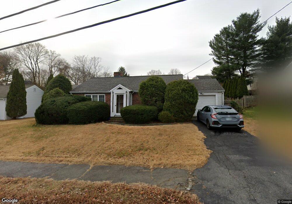
11 Beverly Rd Arlington, MA 02474
Arlington Center NeighborhoodEstimated Value: $845,453 - $1,116,000
2
Beds
1
Bath
1,000
Sq Ft
$939/Sq Ft
Est. Value
About This Home
This home is located at 11 Beverly Rd, Arlington, MA 02474 and is currently estimated at $938,863, approximately $938 per square foot. 11 Beverly Rd is a home located in Middlesex County with nearby schools including Bishop Elementary School, Ottoson Middle School, and Arlington High School.
Ownership History
Date
Name
Owned For
Owner Type
Purchase Details
Closed on
Nov 15, 2019
Sold by
Moy Ken M
Bought by
Ken Min Moy Ret and Moy
Current Estimated Value
Purchase Details
Closed on
Nov 20, 2000
Sold by
Bocchino Geraldine C
Bought by
Moy Ken M
Home Financials for this Owner
Home Financials are based on the most recent Mortgage that was taken out on this home.
Original Mortgage
$80,000
Interest Rate
7.78%
Mortgage Type
Purchase Money Mortgage
Create a Home Valuation Report for This Property
The Home Valuation Report is an in-depth analysis detailing your home's value as well as a comparison with similar homes in the area
Home Values in the Area
Average Home Value in this Area
Purchase History
| Date | Buyer | Sale Price | Title Company |
|---|---|---|---|
| Ken Min Moy Ret | -- | -- | |
| Moy Ken M | $305,000 | -- |
Source: Public Records
Mortgage History
| Date | Status | Borrower | Loan Amount |
|---|---|---|---|
| Previous Owner | Moy Ken M | $80,000 |
Source: Public Records
Tax History
| Year | Tax Paid | Tax Assessment Tax Assessment Total Assessment is a certain percentage of the fair market value that is determined by local assessors to be the total taxable value of land and additions on the property. | Land | Improvement |
|---|---|---|---|---|
| 2025 | $8,809 | $817,900 | $599,800 | $218,100 |
| 2024 | $8,465 | $799,300 | $599,800 | $199,500 |
| 2023 | $7,912 | $705,800 | $516,100 | $189,700 |
| 2022 | $7,513 | $657,900 | $488,200 | $169,700 |
| 2021 | $7,397 | $652,300 | $488,200 | $164,100 |
| 2020 | $7,216 | $652,400 | $488,200 | $164,200 |
| 2019 | $7,170 | $636,800 | $488,200 | $148,600 |
| 2018 | $6,878 | $567,000 | $418,400 | $148,600 |
| 2017 | $6,771 | $539,100 | $390,500 | $148,600 |
| 2016 | $6,188 | $483,400 | $334,800 | $148,600 |
| 2015 | $6,069 | $447,900 | $299,900 | $148,000 |
Source: Public Records
Map
Nearby Homes
- 259 Mystic St
- 335 Mystic St
- 39 Maynard St
- 45 Kilgore Ave
- 68-70 Hamlet St
- 0 Jerome St Unit 72734260
- 165-167 Franklin St Unit 1
- 15 Medford St Unit 4
- 155-157 Palmer St
- 31 Sharon St
- 66 Hutchinson Rd
- 44 Sherman St
- 52-56 Dudley St
- 33 Dickson Ave
- 27-29 Dartmouth St Unit 1
- 53 Warren St Unit 53
- 995 Massachusetts Ave Unit 404
- 111 Sharon St Unit 1
- 40 Century St
- 990 Mass Ave Unit E80
- 15 Beverly Rd
- 7 Beverly Rd
- 10 Fairview Ave
- 18 Fairview Ave
- 5 Beverly Rd
- 19 Beverly Rd
- 18 Beverly Rd
- 6 Fairview Ave
- 14 Beverly Rd
- 22 Beverly Rd
- 10 Beverly Rd
- 10 Beverly Rd
- 10 Beverly Rd Unit 10 Beverly Rd
- 30 Fairview Ave
- 11 Fairview Ave
- 21 Fairview Ave
- 23 Beverly Rd
- 26 Beverly Rd
- 281 Mystic St
- 7 Fairview Ave