11 Bill Brown Rd Kimberling City, MO 65686
Estimated Value: $335,000 - $574,000
--
Bed
--
Bath
1,680
Sq Ft
$278/Sq Ft
Est. Value
About This Home
This home is located at 11 Bill Brown Rd, Kimberling City, MO 65686 and is currently estimated at $466,255, approximately $277 per square foot. 11 Bill Brown Rd is a home with nearby schools including Reeds Spring Primary School, Reeds Spring Middle School, and Reeds Spring Intermediate School.
Ownership History
Date
Name
Owned For
Owner Type
Purchase Details
Closed on
Aug 3, 2024
Sold by
Hofeldt Ray D and Hofeldt Renee L
Bought by
Ray D Hofeldt And Renee L Hofeldt Living Trus and Hofeldt
Current Estimated Value
Purchase Details
Closed on
Sep 1, 2017
Sold by
Farr Irwin Family Living Trust
Bought by
Farr Donald Jerry and Irwing Judy Lynn
Purchase Details
Closed on
Jul 24, 2006
Sold by
Farr Donald J and Irwin Judy L
Bought by
Farr Donald J and Irwin Judy L
Home Financials for this Owner
Home Financials are based on the most recent Mortgage that was taken out on this home.
Original Mortgage
$158,100
Interest Rate
6.12%
Mortgage Type
Adjustable Rate Mortgage/ARM
Create a Home Valuation Report for This Property
The Home Valuation Report is an in-depth analysis detailing your home's value as well as a comparison with similar homes in the area
Home Values in the Area
Average Home Value in this Area
Purchase History
| Date | Buyer | Sale Price | Title Company |
|---|---|---|---|
| Ray D Hofeldt And Renee L Hofeldt Living Trus | -- | None Listed On Document | |
| Farr Donald Jerry | -- | None Available | |
| Farr Donald J | -- | -- |
Source: Public Records
Mortgage History
| Date | Status | Borrower | Loan Amount |
|---|---|---|---|
| Previous Owner | Farr Donald J | $158,100 |
Source: Public Records
Tax History Compared to Growth
Tax History
| Year | Tax Paid | Tax Assessment Tax Assessment Total Assessment is a certain percentage of the fair market value that is determined by local assessors to be the total taxable value of land and additions on the property. | Land | Improvement |
|---|---|---|---|---|
| 2025 | $1,824 | $37,240 | -- | -- |
| 2024 | $1,822 | $37,240 | -- | -- |
| 2023 | $1,822 | $37,240 | $0 | $0 |
| 2022 | $1,811 | $37,220 | $0 | $0 |
| 2021 | $1,833 | $37,220 | $0 | $0 |
| 2020 | $1,614 | $37,220 | $0 | $0 |
| 2019 | $1,404 | $32,570 | $0 | $0 |
| 2018 | $1,402 | $32,570 | $0 | $0 |
| 2017 | $1,405 | $32,570 | $0 | $0 |
| 2016 | $1,348 | $32,130 | $0 | $0 |
| 2015 | $1,350 | $32,130 | $0 | $0 |
| 2014 | $1,329 | $32,130 | $0 | $0 |
| 2012 | $1,333 | $32,170 | $0 | $0 |
Source: Public Records
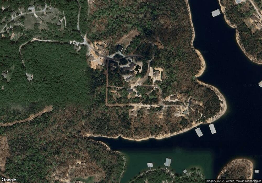
Map
Nearby Homes
- 187 Johnson Way Ln
- 6 Bridgeview Dr
- 58 Homestead Ln
- Lots 19/3 Overlook
- 20 Redbud Ln
- 19 Redbud Ln
- 45 James View Rd
- Lot 17, 18 Joe Bald Rd
- 1073 Stone Rd
- 14 Sycamore Dr
- 44 Bittersweet Cir
- 276 Fountain Ln
- 7 Sycamore Dr
- 65 Royale Estates Rd Unit Lot 29
- 101 Teepee Ln
- 32 Homewood Ln
- Lot 37-39 Cardinal Cove Ln
- 220 Bittersweet Cir
- Tbd Terrace Park Rd
- 362 Canyon Forest Cir
- 305 Fox Fire Knoll Dr
- 65 Bill Brown Rd
- 473 Fox Fire Knoll Dr
- 30 Council Rock Ln
- 329 Fox Fire Knoll Dr
- 0 Council Rock Ln Unit 11103752
- 303 Fox Fire Knoll Dr
- 4 Acres Fox Fire Knoll Dr
- Tbd Fox Fire Knoll Dr
- Lot 11 Fox Fire Knoll Dr
- 0 Fox Fire Knoll Dr
- Lot 4 Fox Fire Knoll Dr
- 000 Fox Fire Knoll Dr
- 20 Council Rock Ln
- 512 Fox Fire Knoll Dr
- 4 Fox Fire Knoll Dr
- Lot 12 Bartels Subdivision
- 264 Fox Fire Knoll Dr
- 555 Fox Fire Knoll Dr
- Lot 11 Bartels Subdivision