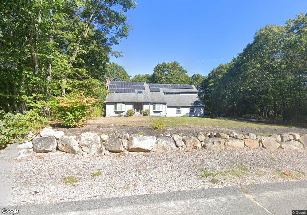
11 Billys Ln East Freetown, MA 02717
Estimated Value: $669,280 - $821,000
4
Beds
3
Baths
2,154
Sq Ft
$333/Sq Ft
Est. Value
About This Home
This home is located at 11 Billys Ln, East Freetown, MA 02717 and is currently estimated at $717,070, approximately $332 per square foot. 11 Billys Ln is a home located in Bristol County with nearby schools including Freetown Elementary School, George R Austin Intermediate School, and Freetown-Lakeville Middle School.
Ownership History
Date
Name
Owned For
Owner Type
Purchase Details
Closed on
May 18, 1990
Sold by
Bowden Freeman N
Bought by
Hanna Fred S
Current Estimated Value
Create a Home Valuation Report for This Property
The Home Valuation Report is an in-depth analysis detailing your home's value as well as a comparison with similar homes in the area
Home Values in the Area
Average Home Value in this Area
Purchase History
| Date | Buyer | Sale Price | Title Company |
|---|---|---|---|
| Hanna Fred S | $178,500 | -- |
Source: Public Records
Mortgage History
| Date | Status | Borrower | Loan Amount |
|---|---|---|---|
| Open | Hanna Fred S | $30,000 | |
| Open | Hanna Fred S | $130,000 | |
| Open | Hanna Fred S | $200,000 |
Source: Public Records
Tax History Compared to Growth
Tax History
| Year | Tax Paid | Tax Assessment Tax Assessment Total Assessment is a certain percentage of the fair market value that is determined by local assessors to be the total taxable value of land and additions on the property. | Land | Improvement |
|---|---|---|---|---|
| 2025 | $5,557 | $560,700 | $190,700 | $370,000 |
| 2024 | $5,571 | $534,100 | $179,900 | $354,200 |
| 2023 | $5,419 | $506,000 | $162,000 | $344,000 |
| 2022 | $5,165 | $428,300 | $137,300 | $291,000 |
| 2021 | $4,854 | $382,200 | $124,800 | $257,400 |
| 2020 | $4,815 | $369,800 | $120,100 | $249,700 |
| 2019 | $4,616 | $351,000 | $119,800 | $231,200 |
| 2018 | $4,384 | $329,400 | $119,800 | $209,600 |
| 2017 | $4,258 | $319,700 | $119,800 | $199,900 |
| 2016 | $4,064 | $310,500 | $116,300 | $194,200 |
| 2015 | $3,920 | $303,900 | $111,000 | $192,900 |
| 2014 | $3,783 | $300,000 | $113,900 | $186,100 |
Source: Public Records
Map
Nearby Homes
- 144 Chace Rd
- 195 Slab Bridge Rd
- 150 Quanapoag Rd
- 0 Costa Dr
- Lot 2/3 Quanapoag Rd
- 599 Quanapoag Rd
- 1475 Braley Rd Unit 17
- 264 Collins Corner Rd
- 13 Luscomb Ln
- 16 Swallow St
- 4597 Acushnet Ave
- 24 Bells Brook Rd
- 1069 Cherokee St
- 111 High St
- 353 Upland St
- 64 Blaze Rd
- 319 Northwest St
- 7 Great Cedar Crossing
- 9 Paul Ave
- 210 Heritage Dr