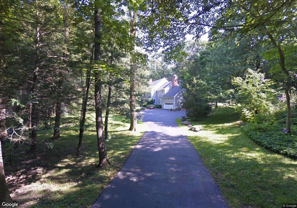
11 Black Birch Rd Westport, CT 06880
Staples NeighborhoodEstimated Value: $2,202,000 - $2,706,000
6
Beds
5
Baths
3,591
Sq Ft
$660/Sq Ft
Est. Value
About This Home
This home is located at 11 Black Birch Rd, Westport, CT 06880 and is currently estimated at $2,371,270, approximately $660 per square foot. 11 Black Birch Rd is a home located in Fairfield County with nearby schools including Long Lots School, Bedford Middle School, and Staples High School.
Ownership History
Date
Name
Owned For
Owner Type
Purchase Details
Closed on
Apr 25, 2002
Sold by
Melhuish Mark and Melhuish Ann D
Bought by
Chernok Ricky and Chernok Julie
Current Estimated Value
Home Financials for this Owner
Home Financials are based on the most recent Mortgage that was taken out on this home.
Original Mortgage
$300,000
Interest Rate
7.05%
Create a Home Valuation Report for This Property
The Home Valuation Report is an in-depth analysis detailing your home's value as well as a comparison with similar homes in the area
Home Values in the Area
Average Home Value in this Area
Purchase History
| Date | Buyer | Sale Price | Title Company |
|---|---|---|---|
| Chernok Ricky | $1,143,750 | -- | |
| Chernok Ricky | $1,143,750 | -- |
Source: Public Records
Mortgage History
| Date | Status | Borrower | Loan Amount |
|---|---|---|---|
| Open | Chernok Ricky | $500,000 | |
| Closed | Chernok Ricky | $320,000 | |
| Closed | Chernok Ricky | $300,000 |
Source: Public Records
Tax History Compared to Growth
Tax History
| Year | Tax Paid | Tax Assessment Tax Assessment Total Assessment is a certain percentage of the fair market value that is determined by local assessors to be the total taxable value of land and additions on the property. | Land | Improvement |
|---|---|---|---|---|
| 2025 | $16,740 | $887,600 | $403,300 | $484,300 |
| 2024 | $16,527 | $887,600 | $403,300 | $484,300 |
| 2023 | $16,287 | $887,600 | $403,300 | $484,300 |
| 2022 | $16,039 | $887,600 | $403,300 | $484,300 |
| 2021 | $15,840 | $876,600 | $403,300 | $473,300 |
| 2020 | $16,261 | $973,100 | $425,700 | $547,400 |
| 2019 | $16,406 | $973,100 | $425,700 | $547,400 |
| 2018 | $16,406 | $973,100 | $425,700 | $547,400 |
| 2017 | $16,406 | $973,100 | $425,700 | $547,400 |
| 2016 | $16,406 | $973,100 | $425,700 | $547,400 |
| 2015 | $15,418 | $852,300 | $352,000 | $500,300 |
| 2014 | $15,290 | $852,300 | $352,000 | $500,300 |
Source: Public Records
Map
Nearby Homes