11 Boat House Dr Wareham, MA 02571
Estimated Value: $966,000 - $1,209,000
3
Beds
3
Baths
2,899
Sq Ft
$373/Sq Ft
Est. Value
About This Home
This home is located at 11 Boat House Dr, Wareham, MA 02571 and is currently estimated at $1,082,577, approximately $373 per square foot. 11 Boat House Dr is a home located in Plymouth County.
Ownership History
Date
Name
Owned For
Owner Type
Purchase Details
Closed on
Sep 25, 2025
Sold by
Clifford Gail M and Clifford John W
Bought by
Clifford-Idle Hour Ft and Clifford
Current Estimated Value
Purchase Details
Closed on
Aug 3, 2009
Sold by
David Scott H
Bought by
Clifford Gail M and Clifford John W
Home Financials for this Owner
Home Financials are based on the most recent Mortgage that was taken out on this home.
Original Mortgage
$621,690
Interest Rate
5.43%
Mortgage Type
Purchase Money Mortgage
Purchase Details
Closed on
Mar 8, 2004
Sold by
Sallie S White Ret and Wilbur
Bought by
David H Scott
Create a Home Valuation Report for This Property
The Home Valuation Report is an in-depth analysis detailing your home's value as well as a comparison with similar homes in the area
Home Values in the Area
Average Home Value in this Area
Purchase History
| Date | Buyer | Sale Price | Title Company |
|---|---|---|---|
| Clifford-Idle Hour Ft | -- | -- | |
| Clifford Gail M | $731,400 | -- | |
| Clifford Gail M | $731,400 | -- | |
| David H Scott | $480,000 | -- | |
| David H Scott | $480,000 | -- |
Source: Public Records
Mortgage History
| Date | Status | Borrower | Loan Amount |
|---|---|---|---|
| Previous Owner | David H Scott | $621,690 | |
| Previous Owner | David H Scott | $456,500 |
Source: Public Records
Tax History Compared to Growth
Tax History
| Year | Tax Paid | Tax Assessment Tax Assessment Total Assessment is a certain percentage of the fair market value that is determined by local assessors to be the total taxable value of land and additions on the property. | Land | Improvement |
|---|---|---|---|---|
| 2025 | $8,532 | $818,800 | $305,700 | $513,100 |
| 2024 | $8,539 | $760,400 | $229,400 | $531,000 |
| 2023 | $7,509 | $676,200 | $209,100 | $467,100 |
| 2022 | $7,509 | $569,700 | $200,000 | $369,700 |
| 2021 | $7,431 | $552,500 | $200,000 | $352,500 |
| 2020 | $7,099 | $535,400 | $200,000 | $335,400 |
| 2019 | $7,276 | $547,500 | $243,500 | $304,000 |
| 2018 | $6,867 | $503,800 | $243,500 | $260,300 |
| 2017 | $6,630 | $492,900 | $243,500 | $249,400 |
| 2016 | $6,448 | $476,600 | $243,500 | $233,100 |
| 2015 | $6,441 | $492,800 | $262,200 | $230,600 |
| 2014 | $5,723 | $445,400 | $210,700 | $234,700 |
Source: Public Records
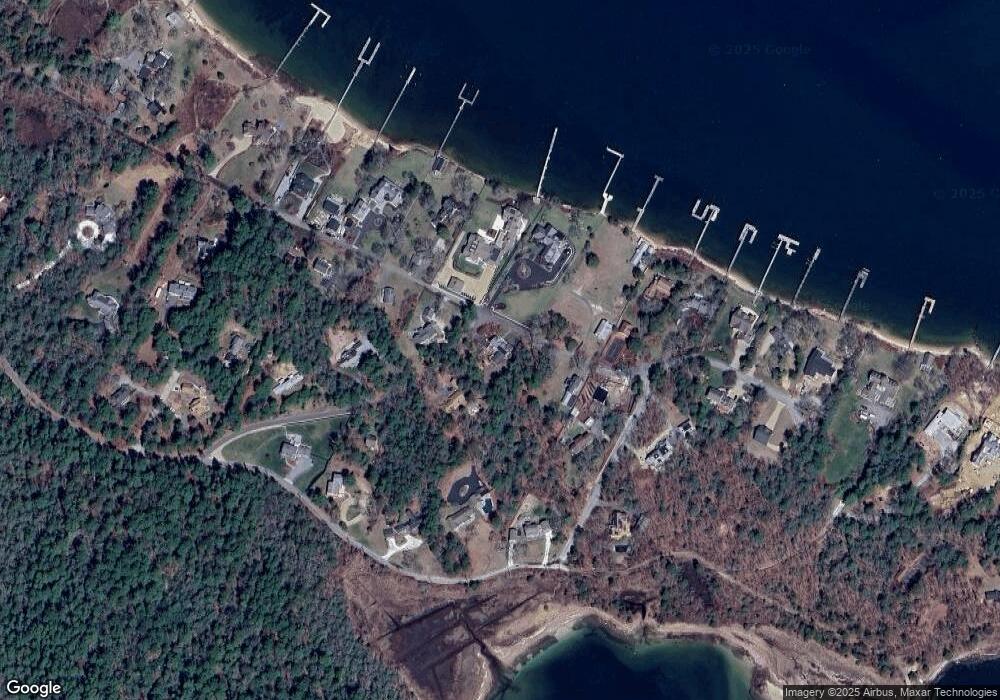
Map
Nearby Homes
- 46 Winship Ave
- 200 Great Neck Rd
- 45 Kins Ct
- 46 Kins Ct
- 14 Over Jordan Rd
- 8 Over Jordan Rd
- 38 Amos Way
- 12 Grove St
- 17 Carleton St Unit 17
- 10 Over Jordan Rd
- 6 Beacon St Unit 79
- 52 Starboard Dr Unit 36H
- 8 Beacon St Unit 80
- 17 5th St
- 10 Beacon St Unit 83
- 9 10th St
- 26 Highland Ave
- 12 Beacon St Unit 84
- 35 Locust St
- 35 Locust St
- 9 Boat House Dr
- 8 Boat House Dr
- 53 Winship Ave
- 41 Winship Ave
- 4 Widows Cove Ln
- 50 Winship Ave
- 50 Winship Ave Unit 1
- 5 Boat House Dr
- 6 Boat House Dr
- 42 Winship Ave
- 13 Widows Cove Ln
- 4 Widow's Cove Ln
- 8 Widows Cove Ln
- 37 Winship Ave
- 64 Burgess Point Rd
- 64 Burgess Point Road (Private)
- 54 Winship Ave
- 56 Burgess Point Rd
- 5 Widows Cove Ln
- 38 Winship Ave