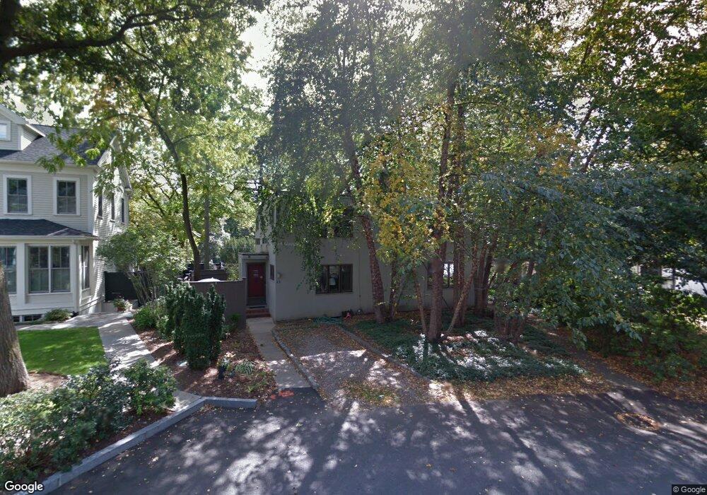
11 Brattle Cir Cambridge, MA 02138
West Cambridge NeighborhoodEstimated Value: $1,570,000 - $2,128,000
4
Beds
3
Baths
1,998
Sq Ft
$888/Sq Ft
Est. Value
About This Home
This home is located at 11 Brattle Cir, Cambridge, MA 02138 and is currently estimated at $1,774,836, approximately $888 per square foot. 11 Brattle Cir is a home located in Middlesex County with nearby schools including Shady Hill School, Buckingham Browne & Nichols School, and St Peter School.
Ownership History
Date
Name
Owned For
Owner Type
Purchase Details
Closed on
Oct 1, 1992
Sold by
Schlenoff Althea B
Bought by
Melford Michael
Current Estimated Value
Home Financials for this Owner
Home Financials are based on the most recent Mortgage that was taken out on this home.
Original Mortgage
$240,800
Interest Rate
7.83%
Mortgage Type
Purchase Money Mortgage
Create a Home Valuation Report for This Property
The Home Valuation Report is an in-depth analysis detailing your home's value as well as a comparison with similar homes in the area
Home Values in the Area
Average Home Value in this Area
Purchase History
| Date | Buyer | Sale Price | Title Company |
|---|---|---|---|
| Melford Michael | $301,000 | -- |
Source: Public Records
Mortgage History
| Date | Status | Borrower | Loan Amount |
|---|---|---|---|
| Closed | Melford Michael | $240,800 |
Source: Public Records
Tax History
| Year | Tax Paid | Tax Assessment Tax Assessment Total Assessment is a certain percentage of the fair market value that is determined by local assessors to be the total taxable value of land and additions on the property. | Land | Improvement |
|---|---|---|---|---|
| 2025 | $8,474 | $1,334,500 | $777,500 | $557,000 |
| 2024 | $7,732 | $1,306,100 | $770,000 | $536,100 |
| 2023 | $7,355 | $1,255,200 | $785,000 | $470,200 |
| 2022 | $6,929 | $1,170,400 | $745,700 | $424,700 |
| 2021 | $6,669 | $1,140,000 | $731,300 | $408,700 |
| 2020 | $6,469 | $1,125,000 | $724,000 | $401,000 |
| 2019 | $6,457 | $1,087,100 | $709,500 | $377,600 |
| 2018 | $6,067 | $964,500 | $626,300 | $338,200 |
| 2017 | $6,259 | $964,400 | $626,300 | $338,100 |
| 2016 | $5,892 | $842,900 | $528,500 | $314,400 |
| 2015 | $5,804 | $742,200 | $463,300 | $278,900 |
| 2014 | $5,730 | $683,800 | $434,400 | $249,400 |
Source: Public Records
Map
Nearby Homes
- 117 Lexington Ave Unit 117
- 35 Homer Ave Unit 7
- 172 Brattle St
- 1 Aberdeen Way Unit 102
- 1 Aberdeen Way Unit 113
- 180 Larch Rd
- 382 Huron Ave
- 87 Holworthy St
- 1010 Memorial Dr Unit 6F
- 66 Holworthy St
- 153 Brattle St
- 59-61 Reservoir St Unit 2
- 51 Belmont St
- 161 Cushing St
- 231 Coolidge Ave Unit 405
- 318 Concord Ave Unit 1
- 318 Concord Ave Unit 2
- 199 Coolidge Ave Unit 401
- 199 Coolidge Ave Unit 511
- 281 Concord Ave
- 7 Brattle Cir Unit 7
- 10 Brattle Cir
- 14 Brattle Cir
- 6 Brattle Cir
- 3 Brattle Cir
- 15 Brattle Cir
- 5 Brattle Cir Unit 5
- 2 Brattle Cir Unit 10
- 5 Brattle Cir
- 2 Brattle Cir Unit 2
- 5 Brattle Cir
- 1 Brattle Cir
- 4 Brattle Cir Unit 4
- 16 Brattle Cir
- 230 Brattle St
- 232 Brattle St Unit 1
- 232 Brattle St
- 499 Mount Auburn St
- 499 Mount Auburn St
- 499 Mt Auburn Unit 2
Your Personal Tour Guide
Ask me questions while you tour the home.