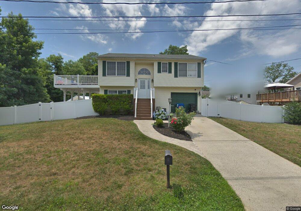
11 Broad St Port Monmouth, NJ 07758
Estimated Value: $564,000 - $625,000
3
Beds
2
Baths
1,468
Sq Ft
$403/Sq Ft
Est. Value
About This Home
This home is located at 11 Broad St, Port Monmouth, NJ 07758 and is currently estimated at $592,034, approximately $403 per square foot. 11 Broad St is a home located in Monmouth County with nearby schools including Port Monmouth Elementary School, Thorne Middle School, and Middletown High School North.
Ownership History
Date
Name
Owned For
Owner Type
Purchase Details
Closed on
May 22, 2012
Sold by
Dugan John F and Dugan Cynthia A
Bought by
Lambert James and Lambert Karyn
Current Estimated Value
Home Financials for this Owner
Home Financials are based on the most recent Mortgage that was taken out on this home.
Original Mortgage
$270,200
Outstanding Balance
$187,208
Interest Rate
3.9%
Mortgage Type
FHA
Estimated Equity
$404,826
Purchase Details
Closed on
Dec 8, 1999
Sold by
Zadorozny Andres
Bought by
Dugan John and Dugan Cynthia
Home Financials for this Owner
Home Financials are based on the most recent Mortgage that was taken out on this home.
Original Mortgage
$148,000
Interest Rate
7.79%
Create a Home Valuation Report for This Property
The Home Valuation Report is an in-depth analysis detailing your home's value as well as a comparison with similar homes in the area
Home Values in the Area
Average Home Value in this Area
Purchase History
| Date | Buyer | Sale Price | Title Company |
|---|---|---|---|
| Lambert James | $280,000 | First American Title Ins Co | |
| Dugan John | $185,000 | -- |
Source: Public Records
Mortgage History
| Date | Status | Borrower | Loan Amount |
|---|---|---|---|
| Open | Lambert James | $270,200 | |
| Previous Owner | Dugan John | $148,000 |
Source: Public Records
Tax History Compared to Growth
Tax History
| Year | Tax Paid | Tax Assessment Tax Assessment Total Assessment is a certain percentage of the fair market value that is determined by local assessors to be the total taxable value of land and additions on the property. | Land | Improvement |
|---|---|---|---|---|
| 2025 | $7,679 | $549,300 | $296,300 | $253,000 |
| 2024 | $7,470 | $466,800 | $218,400 | $248,400 |
| 2023 | $7,470 | $429,800 | $195,000 | $234,800 |
| 2022 | $6,558 | $397,400 | $171,300 | $226,100 |
| 2021 | $6,558 | $334,500 | $143,800 | $190,700 |
| 2020 | $6,384 | $298,600 | $110,000 | $188,600 |
| 2019 | $6,051 | $286,500 | $110,000 | $176,500 |
| 2018 | $6,282 | $289,900 | $102,000 | $187,900 |
| 2017 | $6,396 | $292,200 | $110,000 | $182,200 |
| 2016 | $5,914 | $277,500 | $110,000 | $167,500 |
| 2015 | $5,902 | $267,400 | $110,000 | $157,400 |
| 2014 | $6,658 | $294,200 | $140,000 | $154,200 |
Source: Public Records
Map
Nearby Homes
- 2 Lydia Place
- 147 Church St
- 78 Wilson Ave
- 19 Walada Ave
- 79 Compton St Unit A & B
- 92 Compton St
- 36 Main St
- 41 Brainard Ave
- 637 Bray Ave
- 210 Main St
- 11 Brainard Ave
- 9 Brentwood Terrace
- 602 Park Ave Unit 7C
- 28 W Park Ave
- 135 Railroad Ave
- 230 Main St
- 37 Golden Eye Ln
- 10 Golden Eye Ln
- 43 Skimmer Ln
- 36 Golden Eye Ln
- 15 Pinehurst Ave
- 17 Pinehurst Ave
- 7 Pinehurst Ave
- 19 Pinehurst Ave
- 8 Broad St
- 12 Pinehurst Ave
- 21 Pinehurst Ave
- 3 Woodstock Ave
- 14 Pinehurst Ave
- 1 Woodstock Ave
- 5 Pinehurst Ave
- 16 Pinehurst Ave
- 6 Pinehurst Ave
- 9 Woodstock Ave
- 23 Pinehurst Ave
- 18 Pinehurst Ave
- 211 Sunset Ave
- 215 Sunset Ave
- 209 Sunset Ave
- 20 Pinehurst Ave