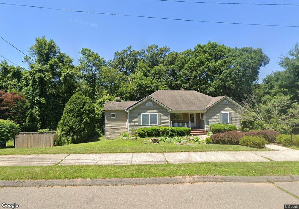
11 Bryan Cir Seymour, CT 06483
Estimated Value: $497,104 - $674,000
3
Beds
2
Baths
1,908
Sq Ft
$308/Sq Ft
Est. Value
About This Home
This home is located at 11 Bryan Cir, Seymour, CT 06483 and is currently estimated at $587,276, approximately $307 per square foot. 11 Bryan Cir is a home located in New Haven County with nearby schools including Seymour Middle School, Seymour High School, and Assumption School.
Ownership History
Date
Name
Owned For
Owner Type
Purchase Details
Closed on
Dec 19, 2003
Sold by
Osiecki Stanley E and Osiecki Mary L
Bought by
Scollin Richard and Scollin Mary
Current Estimated Value
Home Financials for this Owner
Home Financials are based on the most recent Mortgage that was taken out on this home.
Original Mortgage
$296,550
Interest Rate
9.85%
Mortgage Type
Purchase Money Mortgage
Purchase Details
Closed on
Jul 9, 1997
Sold by
Valley Limousine Svc
Bought by
Osiecki Stanley E and Osiecki Mary L
Create a Home Valuation Report for This Property
The Home Valuation Report is an in-depth analysis detailing your home's value as well as a comparison with similar homes in the area
Home Values in the Area
Average Home Value in this Area
Purchase History
| Date | Buyer | Sale Price | Title Company |
|---|---|---|---|
| Scollin Richard | $329,500 | -- | |
| Osiecki Stanley E | $56,500 | -- | |
| Scollin Richard | $329,500 | -- |
Source: Public Records
Mortgage History
| Date | Status | Borrower | Loan Amount |
|---|---|---|---|
| Open | Osiecki Stanley E | $342,000 | |
| Closed | Osiecki Stanley E | $296,550 |
Source: Public Records
Tax History
| Year | Tax Paid | Tax Assessment Tax Assessment Total Assessment is a certain percentage of the fair market value that is determined by local assessors to be the total taxable value of land and additions on the property. | Land | Improvement |
|---|---|---|---|---|
| 2025 | $9,597 | $346,220 | $52,290 | $293,930 |
| 2024 | $7,968 | $216,300 | $43,120 | $173,180 |
| 2023 | $7,782 | $216,300 | $43,120 | $173,180 |
| 2022 | $7,698 | $216,300 | $43,120 | $173,180 |
| 2021 | $7,508 | $216,300 | $43,120 | $173,180 |
| 2020 | $7,724 | $214,550 | $50,680 | $163,870 |
| 2019 | $7,724 | $214,550 | $50,680 | $163,870 |
| 2018 | $7,724 | $214,550 | $50,680 | $163,870 |
| 2017 | $7,724 | $214,550 | $50,680 | $163,870 |
| 2016 | $7,724 | $214,550 | $50,680 | $163,870 |
| 2015 | $8,092 | $233,940 | $54,740 | $179,200 |
| 2014 | $7,963 | $233,940 | $54,740 | $179,200 |
Source: Public Records
Map
Nearby Homes
Your Personal Tour Guide
Ask me questions while you tour the home.