11 Burning Tree Ct Las Vegas, NV 89113
Estimated Value: $1,262,000 - $1,999,000
4
Beds
5
Baths
4,537
Sq Ft
$380/Sq Ft
Est. Value
About This Home
This home is located at 11 Burning Tree Ct, Las Vegas, NV 89113 and is currently estimated at $1,724,155, approximately $380 per square foot. 11 Burning Tree Ct is a home located in Clark County with nearby schools including Lucille S. Rogers Elementary School, Grant Sawyer Middle School, and Durango High School.
Ownership History
Date
Name
Owned For
Owner Type
Purchase Details
Closed on
Jul 3, 2024
Sold by
Red Oak Trust and Creel Allan H
Bought by
Creel Family Trust and Creel
Current Estimated Value
Purchase Details
Closed on
Oct 31, 2006
Sold by
Creel Allan H and Creel Deborah J
Bought by
Red Oak Trust
Purchase Details
Closed on
Apr 28, 1997
Sold by
Creel Allan H and Creel Deborah J
Bought by
Creel Allan H and Creel Deborah J
Purchase Details
Closed on
Jan 23, 1997
Sold by
Creel Allan H and Creel Deborah J
Bought by
Creel Allan H and Creel Deborah J
Home Financials for this Owner
Home Financials are based on the most recent Mortgage that was taken out on this home.
Original Mortgage
$280,000
Interest Rate
7.74%
Create a Home Valuation Report for This Property
The Home Valuation Report is an in-depth analysis detailing your home's value as well as a comparison with similar homes in the area
Home Values in the Area
Average Home Value in this Area
Purchase History
| Date | Buyer | Sale Price | Title Company |
|---|---|---|---|
| Creel Family Trust | -- | None Listed On Document | |
| Red Oak Trust | -- | None Available | |
| Creel Allan H | -- | -- | |
| Creel Allan H | -- | United Title |
Source: Public Records
Mortgage History
| Date | Status | Borrower | Loan Amount |
|---|---|---|---|
| Previous Owner | Creel Allan H | $280,000 |
Source: Public Records
Tax History Compared to Growth
Tax History
| Year | Tax Paid | Tax Assessment Tax Assessment Total Assessment is a certain percentage of the fair market value that is determined by local assessors to be the total taxable value of land and additions on the property. | Land | Improvement |
|---|---|---|---|---|
| 2025 | $7,599 | $423,461 | $173,250 | $250,211 |
| 2024 | $7,378 | $423,461 | $173,250 | $250,211 |
| 2023 | $7,378 | $400,199 | $157,500 | $242,699 |
| 2022 | $7,163 | $366,919 | $141,750 | $225,169 |
| 2021 | $6,955 | $291,916 | $75,600 | $216,316 |
| 2020 | $6,749 | $292,409 | $75,600 | $216,809 |
| 2019 | $6,553 | $291,944 | $75,600 | $216,344 |
| 2018 | $6,362 | $284,180 | $72,450 | $211,730 |
| 2017 | $8,168 | $278,144 | $61,425 | $216,719 |
| 2016 | $6,022 | $235,307 | $56,700 | $178,607 |
| 2015 | $6,012 | $261,920 | $42,525 | $219,395 |
| 2014 | $5,837 | $192,729 | $42,525 | $150,204 |
Source: Public Records
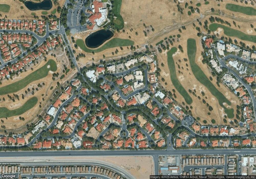
Map
Nearby Homes
- 20 Wild Dunes Ct
- 21 Sawgrass Ct
- 7540 Red Plumeria Ave
- 7345 Aspire Ct
- 21 Princeville Ln
- 7363 Mission Hills Dr
- 19 Vintage Ct
- 7413 Elbridge Way
- 7139 Mission Hills Dr
- 7507 Pink Mimosa Ave
- 7283 Mission Hills Dr
- 7296 Mission Hills Dr
- 7285 Winding Creek Dr
- 5133 Southern Hills Ln
- 32 Princeville Ln
- 7211 Mission Hills Dr
- 42 Sawgrass Ct
- 7071 Sombra Way
- 66 Innisbrook Ave
- 7707 Mocorito Ave
- 29 Burning Tree Ct
- 31 Burning Tree Ct
- 14 Burning Tree Ct
- 10 Burning Tree Ct
- 12 Burning Tree Ct
- 15 Burning Tree Ct
- 16 Burning Tree Ct
- 27 Burning Tree Ct
- 40 Burning Tree Ct
- 30 Burning Tree Ct
- 18 Burning Tree Ct
- 28 Burning Tree Ct
- 32 Burning Tree Ct
- 20 Burning Tree Ct
- 22 Wild Dunes Ct
- 62 Sawgrass Ct
- 44 Congressional Ct
- 10 Congressional Ct
- 22 Burning Tree Ct
- 34 Burning Tree Ct