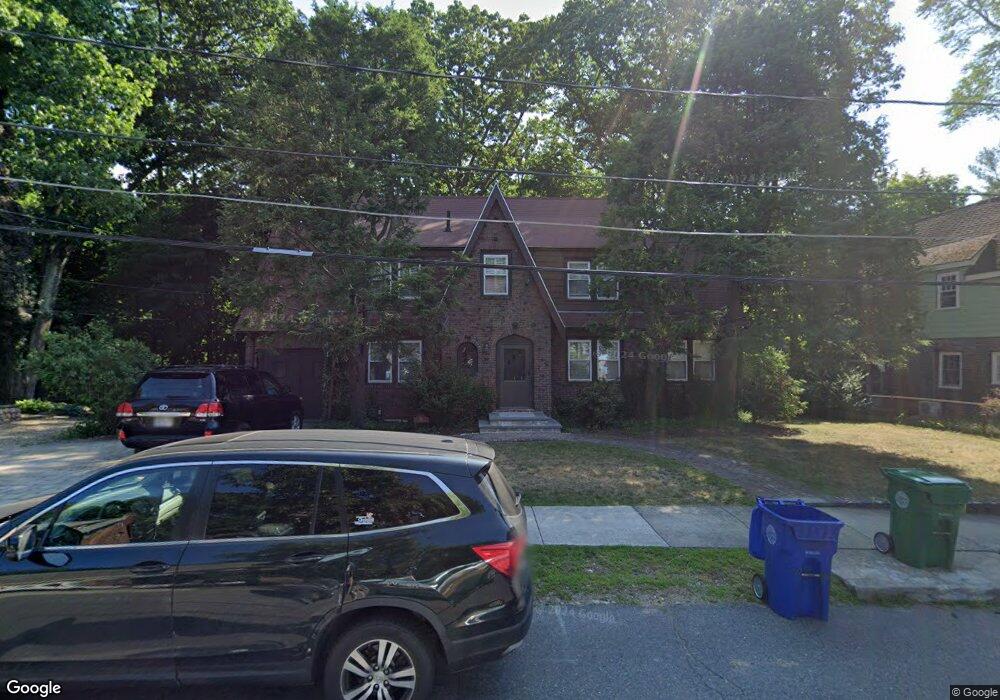
11 Burnside Rd Newton Highlands, MA 02461
Newton Highlands NeighborhoodEstimated Value: $1,706,000 - $1,847,000
4
Beds
3
Baths
2,476
Sq Ft
$710/Sq Ft
Est. Value
About This Home
This home is located at 11 Burnside Rd, Newton Highlands, MA 02461 and is currently estimated at $1,758,245, approximately $710 per square foot. 11 Burnside Rd is a home located in Middlesex County with nearby schools including Zervas Elementary School, Oak Hill Middle School, and Newton South High School.
Create a Home Valuation Report for This Property
The Home Valuation Report is an in-depth analysis detailing your home's value as well as a comparison with similar homes in the area
Home Values in the Area
Average Home Value in this Area
Tax History Compared to Growth
Tax History
| Year | Tax Paid | Tax Assessment Tax Assessment Total Assessment is a certain percentage of the fair market value that is determined by local assessors to be the total taxable value of land and additions on the property. | Land | Improvement |
|---|---|---|---|---|
| 2025 | $13,791 | $1,407,200 | $882,500 | $524,700 |
| 2024 | $13,334 | $1,366,200 | $856,800 | $509,400 |
| 2023 | $12,776 | $1,255,000 | $643,800 | $611,200 |
| 2022 | $12,224 | $1,162,000 | $596,100 | $565,900 |
| 2021 | $11,795 | $1,096,200 | $562,400 | $533,800 |
| 2020 | $11,444 | $1,096,200 | $562,400 | $533,800 |
| 2019 | $11,122 | $1,064,300 | $546,000 | $518,300 |
| 2018 | $10,737 | $992,300 | $499,300 | $493,000 |
| 2017 | $10,409 | $936,100 | $471,000 | $465,100 |
| 2016 | $9,956 | $874,900 | $440,200 | $434,700 |
| 2015 | $9,493 | $817,700 | $411,400 | $406,300 |
Source: Public Records
Map
Nearby Homes
- 200 Lincoln St
- 3 Glenmore Terrace Unit 2
- 2 Raeburn Terrace
- 35 Kingston Rd
- 35 Bradford Rd
- 1151 Walnut St Unit 205
- 1151 Walnut St Unit 405
- 1151 Walnut St Unit 207
- 1077 Boylston St
- 1629 Centre St
- 1623-1625 Centre St
- 1597 Centre St Unit 1597
- 1597 Centre St
- 17 Circuit Ave Unit 2
- 120 Stanley Rd
- 28 Wilson Cir Unit 28
- 32 Wilson Cir Unit 32
- 956 Walnut St Unit 4
- 956 Walnut St Unit 7
- 956 Walnut St Unit 6