11 Burritts Landing N Westport, CT 06880
Saugatuck NeighborhoodEstimated Value: $2,608,000 - $4,938,000
4
Beds
5
Baths
5,480
Sq Ft
$698/Sq Ft
Est. Value
About This Home
This home is located at 11 Burritts Landing N, Westport, CT 06880 and is currently estimated at $3,825,796, approximately $698 per square foot. 11 Burritts Landing N is a home located in Fairfield County with nearby schools including King's Highway Elementary School, Coleytown Middle School, and Staples High School.
Ownership History
Date
Name
Owned For
Owner Type
Purchase Details
Closed on
Jan 21, 2011
Sold by
Carter 3Rd James H and Carter Susan H
Bought by
Bowen Douglas J and Bowen Ellen M
Current Estimated Value
Home Financials for this Owner
Home Financials are based on the most recent Mortgage that was taken out on this home.
Original Mortgage
$2,500,000
Outstanding Balance
$1,715,319
Interest Rate
4.76%
Estimated Equity
$2,110,477
Purchase Details
Closed on
Jul 28, 2010
Sold by
Minicucci Patricia A
Bought by
Carter 3Rd James H and Carter Susan H
Purchase Details
Closed on
May 19, 1994
Sold by
Woodell Larry and Woodell Deborah
Bought by
Minicucci Patricia
Purchase Details
Closed on
Dec 18, 1989
Sold by
Easton Carol
Bought by
Wadell Larry
Create a Home Valuation Report for This Property
The Home Valuation Report is an in-depth analysis detailing your home's value as well as a comparison with similar homes in the area
Home Values in the Area
Average Home Value in this Area
Purchase History
| Date | Buyer | Sale Price | Title Company |
|---|---|---|---|
| Bowen Douglas J | $1,964,016 | -- | |
| Bowen Douglas J | $1,964,016 | -- | |
| Carter 3Rd James H | $1,750,000 | -- | |
| Carter 3Rd James H | $1,750,000 | -- | |
| Minicucci Patricia | $1,125,000 | -- | |
| Minicucci Patricia | $1,125,000 | -- | |
| Wadell Larry | $922,000 | -- |
Source: Public Records
Mortgage History
| Date | Status | Borrower | Loan Amount |
|---|---|---|---|
| Open | Wadell Larry | $2,500,000 | |
| Previous Owner | Wadell Larry | $100,000 |
Source: Public Records
Tax History Compared to Growth
Tax History
| Year | Tax Paid | Tax Assessment Tax Assessment Total Assessment is a certain percentage of the fair market value that is determined by local assessors to be the total taxable value of land and additions on the property. | Land | Improvement |
|---|---|---|---|---|
| 2025 | $36,207 | $1,919,800 | $903,800 | $1,016,000 |
| 2024 | $35,747 | $1,919,800 | $903,800 | $1,016,000 |
| 2023 | $35,228 | $1,919,800 | $903,800 | $1,016,000 |
| 2022 | $34,691 | $1,919,800 | $903,800 | $1,016,000 |
| 2021 | $34,691 | $1,919,800 | $903,800 | $1,016,000 |
| 2020 | $37,464 | $2,242,000 | $1,113,100 | $1,128,900 |
| 2019 | $37,800 | $2,242,000 | $1,113,100 | $1,128,900 |
| 2018 | $37,800 | $2,242,000 | $1,113,100 | $1,128,900 |
| 2017 | $37,800 | $2,242,000 | $1,113,100 | $1,128,900 |
| 2016 | $37,800 | $2,242,000 | $1,113,100 | $1,128,900 |
| 2015 | $40,576 | $2,243,000 | $1,105,500 | $1,137,500 |
| 2014 | $40,239 | $2,243,000 | $1,105,500 | $1,137,500 |
Source: Public Records
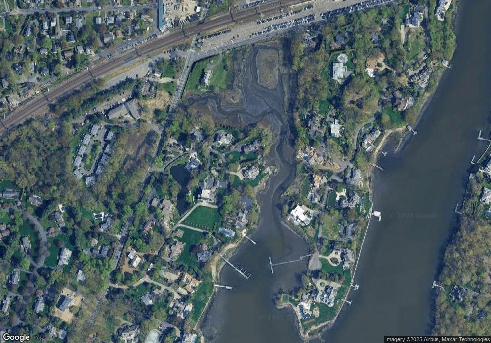
Map
Nearby Homes
- 6 Stony Point Rd
- 11 Manitou Ct
- 202 Bradley Ln Unit 202
- 110 William St
- 26 Treadwell Ave
- 14 Strathmore Ln
- 23 Bridge St
- 44 King St
- 17 Oriole Dr
- 7 Renzulli Rd
- 42 Kings Hwy S
- 3 Nassau Rd
- 5 Franklin Ave
- 80 County St Unit 9K
- 80 County St Unit 3A
- 80 County St Unit 2Q
- 80 County St Unit 11K
- 171 & 169 Compo Rd S
- 13 Hills Ln
- 14 Owenoke Park
- 9 Burritts Landing N
- 7 Burritts Landing N
- 16 Burritts Landing S
- 4 Burritts Landing N
- 12 Stoney Point Rd
- 10 Stoney Point Rd
- 10 Stony Point Rd
- 14 Stoney Point Rd
- 5 Burritts Landing N
- 1 Burritts Landing N
- 17 Burritts Landing S
- 2 Burritts Landing N
- 1 Stoney Point Rd W
- 18 Burritts Landing S
- 18 Burritts Landing S
- 11 Stony Point Rd
- 8 Stony Point Rd
- 9 Stony Point Rd
- 9 Stoney Point Rd
- 27 Ferry Ln