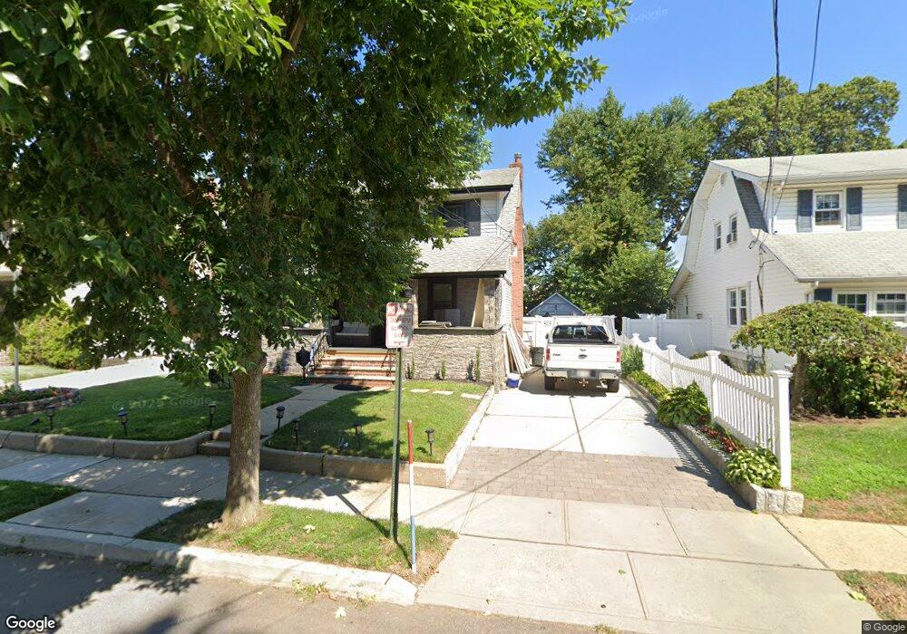
11 Burtis St Lynbrook, NY 11563
Estimated Value: $795,000 - $804,120
4
Beds
2
Baths
1,712
Sq Ft
$467/Sq Ft
Est. Value
About This Home
This home is located at 11 Burtis St, Lynbrook, NY 11563 and is currently estimated at $799,560, approximately $467 per square foot. 11 Burtis St is a home located in Nassau County with nearby schools including Lynbrook Senior High School, Our Lady Of Peace School, and Holy Name of Mary School.
Ownership History
Date
Name
Owned For
Owner Type
Purchase Details
Closed on
Feb 6, 2014
Sold by
Carr Elizabeth C and Carr Kathleen J
Bought by
Ortiz Gaerald S and Ortiz Karen
Current Estimated Value
Home Financials for this Owner
Home Financials are based on the most recent Mortgage that was taken out on this home.
Original Mortgage
$245,000
Outstanding Balance
$186,282
Interest Rate
4.5%
Mortgage Type
Purchase Money Mortgage
Estimated Equity
$613,278
Purchase Details
Closed on
Mar 5, 2004
Sold by
Carr Elizabeth
Create a Home Valuation Report for This Property
The Home Valuation Report is an in-depth analysis detailing your home's value as well as a comparison with similar homes in the area
Home Values in the Area
Average Home Value in this Area
Purchase History
| Date | Buyer | Sale Price | Title Company |
|---|---|---|---|
| Ortiz Gaerald S | $350,000 | -- | |
| -- | -- | -- |
Source: Public Records
Mortgage History
| Date | Status | Borrower | Loan Amount |
|---|---|---|---|
| Open | Ortiz Gaerald S | $245,000 |
Source: Public Records
Tax History
| Year | Tax Paid | Tax Assessment Tax Assessment Total Assessment is a certain percentage of the fair market value that is determined by local assessors to be the total taxable value of land and additions on the property. | Land | Improvement |
|---|---|---|---|---|
| 2025 | $12,265 | $585 | $251 | $334 |
| 2024 | $1,308 | $578 | $251 | $327 |
| 2023 | $12,173 | $578 | $251 | $327 |
| 2022 | $12,173 | $578 | $251 | $327 |
| 2021 | $18,626 | $562 | $244 | $318 |
| 2020 | $13,643 | $984 | $576 | $408 |
| 2019 | $13,713 | $897 | $576 | $321 |
| 2018 | $11,337 | $897 | $0 | $0 |
| 2017 | $8,614 | $897 | $576 | $321 |
| 2016 | $9,910 | $897 | $576 | $321 |
| 2015 | $1,023 | $897 | $576 | $321 |
| 2014 | $1,023 | $897 | $576 | $321 |
| 2013 | $917 | $897 | $576 | $321 |
Source: Public Records
Map
Nearby Homes
- 14 Hawthorne St
- 127 Smith St
- 103 Smith St Unit 1
- 29 Summit Ave
- 57 Nieman Ave
- 263 Foster Ave
- 42 Hendrickson Ave
- 504 Merrick Rd Unit 4J
- 504 Merrick Rd Unit 4E
- 504 Merrick Rd Unit 2k
- 504 Merrick Rd Unit 3G
- 40 Hendrickson Ave
- 64 Hodson Ave
- 181 Walnut St
- 149 Foster Ave
- 90 Pearsall Ave
- 89 Foster Ave
- 63 Central Ave
- 145 Cornwell Ave
- 35 Carlton St
Your Personal Tour Guide
Ask me questions while you tour the home.