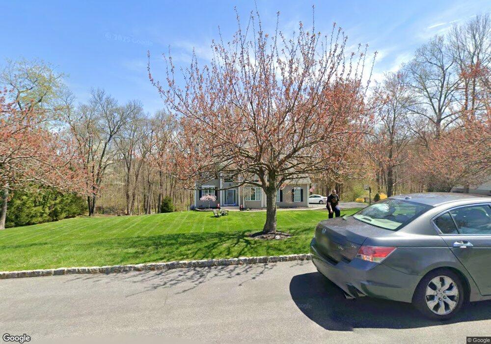
11 Butternut Way Sparta, NJ 07871
Estimated Value: $768,441 - $852,000
--
Bed
--
Bath
2,695
Sq Ft
$300/Sq Ft
Est. Value
About This Home
This home is located at 11 Butternut Way, Sparta, NJ 07871 and is currently estimated at $808,360, approximately $299 per square foot. 11 Butternut Way is a home located in Sussex County with nearby schools including Sparta High School, Immaculate Conception Regional School, and Hilltop Country Day School.
Ownership History
Date
Name
Owned For
Owner Type
Purchase Details
Closed on
Nov 12, 2020
Sold by
Mcdonald Merle and Mcdonald Pamela
Bought by
Maher Edward and Maher Julie A
Current Estimated Value
Home Financials for this Owner
Home Financials are based on the most recent Mortgage that was taken out on this home.
Original Mortgage
$446,500
Interest Rate
2.9%
Mortgage Type
New Conventional
Purchase Details
Closed on
Dec 16, 2002
Sold by
Mcrorie Johnson D and Mcrorie Wendy S
Bought by
Mcdonald Merle and Mcdonald Pamela
Home Financials for this Owner
Home Financials are based on the most recent Mortgage that was taken out on this home.
Original Mortgage
$343,200
Interest Rate
6.11%
Purchase Details
Closed on
Oct 28, 1999
Sold by
R S A Homes Inc
Bought by
Mcrorie Johnson D and Mcrorie Wendy S
Home Financials for this Owner
Home Financials are based on the most recent Mortgage that was taken out on this home.
Original Mortgage
$257,900
Interest Rate
7.73%
Create a Home Valuation Report for This Property
The Home Valuation Report is an in-depth analysis detailing your home's value as well as a comparison with similar homes in the area
Home Values in the Area
Average Home Value in this Area
Purchase History
| Date | Buyer | Sale Price | Title Company |
|---|---|---|---|
| Maher Edward | $515,000 | Real Safe Title | |
| Mcdonald Merle | $429,000 | -- | |
| Mcrorie Johnson D | $343,914 | -- |
Source: Public Records
Mortgage History
| Date | Status | Borrower | Loan Amount |
|---|---|---|---|
| Previous Owner | Maher Edward | $446,500 | |
| Previous Owner | Mcdonald Merle | $343,200 | |
| Previous Owner | Mcrorie Johnson D | $257,900 |
Source: Public Records
Tax History Compared to Growth
Tax History
| Year | Tax Paid | Tax Assessment Tax Assessment Total Assessment is a certain percentage of the fair market value that is determined by local assessors to be the total taxable value of land and additions on the property. | Land | Improvement |
|---|---|---|---|---|
| 2025 | $13,473 | $375,400 | $152,200 | $223,200 |
| 2024 | $13,086 | $375,400 | $152,200 | $223,200 |
| 2023 | $13,086 | $375,400 | $152,200 | $223,200 |
| 2022 | $12,771 | $375,400 | $152,200 | $223,200 |
| 2021 | $12,568 | $375,400 | $152,200 | $223,200 |
| 2020 | $12,764 | $375,400 | $152,200 | $223,200 |
| 2019 | $12,433 | $375,400 | $152,200 | $223,200 |
| 2018 | $12,170 | $375,400 | $152,200 | $223,200 |
| 2017 | $12,020 | $375,400 | $152,200 | $223,200 |
| 2016 | $11,739 | $375,400 | $152,200 | $223,200 |
| 2015 | $11,935 | $306,900 | $118,800 | $188,100 |
| 2014 | $11,742 | $306,900 | $118,800 | $188,100 |
Source: Public Records
Map
Nearby Homes
- 16 Wildcat Rd
- 10 Avenue B
- 33 Glenbrook Rd
- 8 Plaskon Terrace
- 285 Wild Cat Rd
- 6 Spring St
- 270 Munsonhurst Rd
- 8 Triple Crown Dr
- 12 Richards St
- 9 Madden Ave
- 64 Edison Ave
- 49 Edison Ave
- 115 Scudders Rd
- 25 Graphic Blvd
- 304 Houses Corner Rd
- 10 Graphic Blvd
- 10 Hemlock Dr
- 149 Maple Rd
- 113 Munsonhurst Rd
- 2 Lake Grinnell Ln
- 9 Butternut Way
- 13 Butternut Way
- 14 Butternut Way
- 10 Butternut Way
- 15 Butternut Way
- 0 Wildcat Rd
- 16 Butternut Way
- 8 Butternut Way
- 12 Cottonwood Trail
- 5 Butternut Way
- 17 Butternut Way
- 14 Cottonwood Trail
- 135 Sterling Hill Rd
- 6 Cottonwood Trail
- 121 Sterling Hill Rd
- 16 Cottonwood Trail
- 6 Butternut Way
- 3 Butternut Way
- 20 Butternut Way
- 131 Sterling Hill Rd