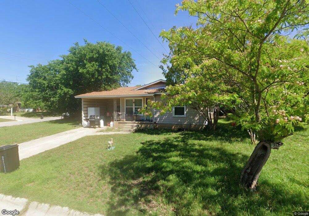
11 Cameron Dr Lampasas, TX 76550
Estimated Value: $177,952 - $190,000
3
Beds
1
Bath
1,072
Sq Ft
$173/Sq Ft
Est. Value
About This Home
This home is located at 11 Cameron Dr, Lampasas, TX 76550 and is currently estimated at $184,988, approximately $172 per square foot. 11 Cameron Dr is a home located in Lampasas County with nearby schools including Kline Whitis Elementary School, Lampasas Middle School, and First Baptist Preschool & Kindergarten.
Ownership History
Date
Name
Owned For
Owner Type
Purchase Details
Closed on
Aug 16, 2006
Sold by
Deutsche Bank National Trust Company
Bought by
Hoffpauir James Lee
Current Estimated Value
Home Financials for this Owner
Home Financials are based on the most recent Mortgage that was taken out on this home.
Original Mortgage
$50,000
Outstanding Balance
$29,534
Interest Rate
6.75%
Estimated Equity
$155,454
Purchase Details
Closed on
Jun 6, 2006
Sold by
Latham John
Bought by
Deutsche Bank National Trust Company
Create a Home Valuation Report for This Property
The Home Valuation Report is an in-depth analysis detailing your home's value as well as a comparison with similar homes in the area
Home Values in the Area
Average Home Value in this Area
Purchase History
| Date | Buyer | Sale Price | Title Company |
|---|---|---|---|
| Hoffpauir James Lee | $8,172,006 | -- | |
| Deutsche Bank National Trust Company | $72,126 | -- |
Source: Public Records
Mortgage History
| Date | Status | Borrower | Loan Amount |
|---|---|---|---|
| Open | Hoffpauir James Lee | $50,000 |
Source: Public Records
Tax History
| Year | Tax Paid | Tax Assessment Tax Assessment Total Assessment is a certain percentage of the fair market value that is determined by local assessors to be the total taxable value of land and additions on the property. | Land | Improvement |
|---|---|---|---|---|
| 2025 | $3,155 | $166,490 | $17,430 | $149,060 |
| 2024 | $3,172 | $182,670 | $17,430 | $165,240 |
| 2023 | $3,327 | $180,630 | $14,940 | $165,690 |
| 2022 | $3,224 | $153,510 | $14,940 | $138,570 |
| 2021 | $2,919 | $120,470 | $13,700 | $106,770 |
| 2020 | $2,043 | $83,870 | $12,450 | $71,420 |
| 2019 | $2,066 | $81,890 | $12,450 | $69,440 |
| 2018 | $2,066 | $81,890 | $12,450 | $69,440 |
| 2017 | $1,934 | $77,530 | $12,450 | $65,080 |
| 2016 | $1,934 | $77,530 | $12,450 | $65,080 |
| 2015 | -- | $77,530 | $12,450 | $65,080 |
| 2014 | -- | $75,880 | $12,450 | $63,430 |
Source: Public Records
Map
Nearby Homes
- 17 Matthews Dr
- 1209 W Avenue A
- 1202 Nix Rd
- 1305 W 1st St
- 206 N Arnold St
- 302 N Arnold St
- 106 S Howe St
- 306 S Arnold St
- 1023 Fieldstone Dr
- 708 W Avenue A
- 11990 F M 580
- 2620 F M 580
- Tbd Fm 580 W
- 708 W Avenue C
- 1135 Limestone Dr
- 1047 Fieldstone Dr
- 1123 Limestone Dr
- 1313 Sandstone Cove
- 108 S Race St
- 505 S Summer St
Your Personal Tour Guide
Ask me questions while you tour the home.