11 Captain Cir Tewksbury, MA 01876
Estimated Value: $813,369 - $1,051,000
3
Beds
3
Baths
1,812
Sq Ft
$495/Sq Ft
Est. Value
About This Home
This home is located at 11 Captain Cir, Tewksbury, MA 01876 and is currently estimated at $897,092, approximately $495 per square foot. 11 Captain Cir is a home located in Middlesex County with nearby schools including John F. Ryan Elementary School, John W. Wynn Middle School, and Tewksbury Memorial High School.
Ownership History
Date
Name
Owned For
Owner Type
Purchase Details
Closed on
Oct 31, 2005
Sold by
Hughes Caridad
Bought by
Tarara Alan M and Tarara Diane E
Current Estimated Value
Home Financials for this Owner
Home Financials are based on the most recent Mortgage that was taken out on this home.
Original Mortgage
$467,100
Outstanding Balance
$252,008
Interest Rate
5.79%
Mortgage Type
Purchase Money Mortgage
Estimated Equity
$645,084
Purchase Details
Closed on
Feb 9, 1995
Sold by
Brothers George and Brothers William
Bought by
Hughes Charles and Hughes Caridad
Purchase Details
Closed on
Dec 20, 1994
Sold by
Sandy Acres Ptnshp Rt
Bought by
Brothers George and Brothers William
Create a Home Valuation Report for This Property
The Home Valuation Report is an in-depth analysis detailing your home's value as well as a comparison with similar homes in the area
Home Values in the Area
Average Home Value in this Area
Purchase History
| Date | Buyer | Sale Price | Title Company |
|---|---|---|---|
| Tarara Alan M | $519,000 | -- | |
| Hughes Charles | $210,000 | -- | |
| Brothers George | $95,000 | -- |
Source: Public Records
Mortgage History
| Date | Status | Borrower | Loan Amount |
|---|---|---|---|
| Open | Brothers George | $260,000 | |
| Closed | Brothers George | $268,000 | |
| Open | Tarara Alan M | $467,100 | |
| Previous Owner | Brothers George | $150,000 |
Source: Public Records
Tax History Compared to Growth
Tax History
| Year | Tax Paid | Tax Assessment Tax Assessment Total Assessment is a certain percentage of the fair market value that is determined by local assessors to be the total taxable value of land and additions on the property. | Land | Improvement |
|---|---|---|---|---|
| 2025 | $9,180 | $694,400 | $336,700 | $357,700 |
| 2024 | $8,977 | $670,400 | $320,400 | $350,000 |
| 2023 | $8,697 | $616,800 | $291,400 | $325,400 |
| 2022 | $8,371 | $550,700 | $253,500 | $297,200 |
| 2021 | $7,368 | $517,300 | $230,600 | $286,700 |
| 2020 | $7,507 | $490,500 | $219,400 | $271,100 |
| 2019 | $7,176 | $453,000 | $209,000 | $244,000 |
| 2018 | $6,467 | $400,900 | $209,000 | $191,900 |
| 2017 | $6,558 | $402,100 | $209,000 | $193,100 |
| 2016 | $6,314 | $386,200 | $209,000 | $177,200 |
| 2015 | $6,206 | $379,100 | $209,000 | $170,100 |
| 2014 | $6,143 | $381,300 | $217,600 | $163,700 |
Source: Public Records
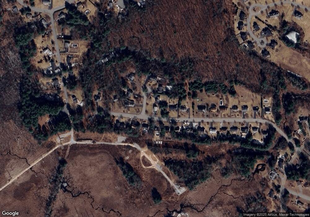
Map
Nearby Homes
- 120 Judique Rd
- 14 Blanchard St
- 7 Stouffer Cir
- 837 Livingston St
- 5 Kensington Way Unit 5
- 22 Haggetts Pond Rd
- 51 Nolan Ct Unit 51
- 68 Catamount Rd
- 51 Jills Way
- 399 North St
- 110 Royal Crest Cir
- 1170 Livingston St
- 14 Geneva Rd
- 15 Geneva Rd
- 1465 Shawsheen St
- 347 Lowell St
- 93 Vale St
- 139 Prospect Hill Dr Unit Lot 15
- 13 Berkeley
- 165 Vale St