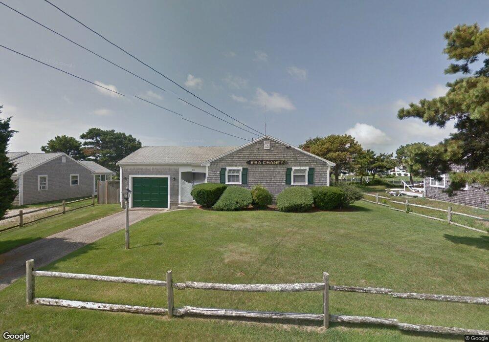
11 Captain Keavy Way West Dennis, MA 02670
West Dennis NeighborhoodEstimated Value: $1,200,000 - $1,616,443
3
Beds
2
Baths
1,436
Sq Ft
$1,029/Sq Ft
Est. Value
About This Home
This home is located at 11 Captain Keavy Way, West Dennis, MA 02670 and is currently estimated at $1,477,361, approximately $1,028 per square foot. 11 Captain Keavy Way is a home located in Barnstable County with nearby schools including Dennis-Yarmouth Regional High School and St. Pius X. School.
Ownership History
Date
Name
Owned For
Owner Type
Purchase Details
Closed on
Jul 25, 2017
Sold by
Rosamond L Gow Irt
Bought by
Gow Ft
Current Estimated Value
Purchase Details
Closed on
May 4, 2017
Sold by
Gow Rosamond L
Bought by
Rosamond L Gow Irt
Purchase Details
Closed on
Feb 14, 2017
Sold by
Gow Rosamond L
Bought by
Gow Ft
Purchase Details
Closed on
Aug 26, 1976
Bought by
Gow Philip J and Gow Rosemond L
Create a Home Valuation Report for This Property
The Home Valuation Report is an in-depth analysis detailing your home's value as well as a comparison with similar homes in the area
Home Values in the Area
Average Home Value in this Area
Purchase History
| Date | Buyer | Sale Price | Title Company |
|---|---|---|---|
| Gow Ft | -- | -- | |
| Rosamond L Gow Irt | -- | -- | |
| Gow Rosamond L | -- | -- | |
| Gow Ft | -- | -- | |
| Gow Philip J | -- | -- |
Source: Public Records
Tax History Compared to Growth
Tax History
| Year | Tax Paid | Tax Assessment Tax Assessment Total Assessment is a certain percentage of the fair market value that is determined by local assessors to be the total taxable value of land and additions on the property. | Land | Improvement |
|---|---|---|---|---|
| 2025 | $6,648 | $1,535,400 | $1,089,200 | $446,200 |
| 2024 | $6,455 | $1,470,400 | $1,047,500 | $422,900 |
| 2023 | $6,243 | $1,336,900 | $952,200 | $384,700 |
| 2022 | $4,892 | $873,500 | $588,200 | $285,300 |
| 2021 | $4,922 | $816,300 | $576,600 | $239,700 |
| 2020 | $4,844 | $794,100 | $576,600 | $217,500 |
| 2019 | $4,696 | $761,100 | $565,400 | $195,700 |
| 2018 | $5,038 | $794,600 | $616,700 | $177,900 |
| 2017 | $4,713 | $766,300 | $594,200 | $172,100 |
| 2016 | $5,188 | $794,500 | $644,700 | $149,800 |
| 2015 | $5,085 | $794,500 | $644,700 | $149,800 |
| 2014 | $5,045 | $794,500 | $644,700 | $149,800 |
Source: Public Records
Map
Nearby Homes
- 2 Rita Mary Way
- 181 Pleasant St
- 308 Old Main St
- 745 Willow St
- 14 Schoolhouse Ln
- 209 Main St Unit 3
- 209 Main St Unit 6
- 209 Main St Unit 1
- 209 Main St Unit 2
- 209 Main St Unit 4
- 209 Main St Unit 5
- 178 School St
- 17 South St
- 45 Seth Ln
- 40 Kelley Rd
- 23 Doric Ave
- 22 Powhatan Rd
- 4 Braddock St
- 9 Cedar St
- 29 Bass River Rd
- 15 Captain Keavy Way
- 7 Captain Keavy Way
- 17 Captain Keavy Way
- 10 Captain Keavy Way
- 3 Captain Keavy Way
- 96 Merchant Ave
- 14 Captain Keavy Way
- 14 Capt Keavy Way
- 6 Captain Keavy Way
- 21 Captain Keavy Way
- 21 Captain Keavy Way
- 18 Captain Keavy Way
- 14 Riverside Way
- 8 Riverside Way
- 98 Merchant Ave
- 18 Riverside Way
- 10 Riverside Way
- 2 Captain Keavy Way
- 4 Captain Keavy Way
- 6 Capt Keavy Way