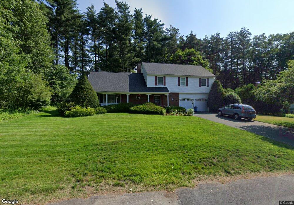
11 Captain Rd Wilbraham, MA 01095
Estimated Value: $557,250 - $636,000
5
Beds
3
Baths
2,789
Sq Ft
$214/Sq Ft
Est. Value
About This Home
This home is located at 11 Captain Rd, Wilbraham, MA 01095 and is currently estimated at $595,563, approximately $213 per square foot. 11 Captain Rd is a home located in Hampden County with nearby schools including Minnechaug Regional High School, Springfield International Charter School, and Wilbraham & Monson Academy.
Ownership History
Date
Name
Owned For
Owner Type
Purchase Details
Closed on
Nov 30, 2023
Sold by
Lewis Stephen B and Lewis Joyce
Bought by
Lewis Stephen B
Current Estimated Value
Purchase Details
Closed on
Nov 17, 1978
Bought by
Lewis Stephen B and Lewis Joyce
Create a Home Valuation Report for This Property
The Home Valuation Report is an in-depth analysis detailing your home's value as well as a comparison with similar homes in the area
Home Values in the Area
Average Home Value in this Area
Purchase History
| Date | Buyer | Sale Price | Title Company |
|---|---|---|---|
| Lewis Stephen B | -- | None Available | |
| Lewis Stephen B | -- | -- |
Source: Public Records
Mortgage History
| Date | Status | Borrower | Loan Amount |
|---|---|---|---|
| Previous Owner | Lewis Stephen B | $45,000 | |
| Previous Owner | Lewis Stephen B | $45,000 |
Source: Public Records
Tax History Compared to Growth
Tax History
| Year | Tax Paid | Tax Assessment Tax Assessment Total Assessment is a certain percentage of the fair market value that is determined by local assessors to be the total taxable value of land and additions on the property. | Land | Improvement |
|---|---|---|---|---|
| 2025 | $8,641 | $483,300 | $100,800 | $382,500 |
| 2024 | $8,438 | $456,100 | $100,800 | $355,300 |
| 2023 | $7,633 | $403,400 | $100,800 | $302,600 |
| 2022 | $7,633 | $372,500 | $100,800 | $271,700 |
| 2021 | $7,007 | $305,200 | $107,900 | $197,300 |
| 2020 | $6,830 | $305,200 | $107,900 | $197,300 |
| 2019 | $6,653 | $305,200 | $107,900 | $197,300 |
| 2018 | $6,647 | $293,600 | $107,900 | $185,700 |
| 2017 | $6,459 | $293,600 | $107,900 | $185,700 |
| 2016 | $6,424 | $297,400 | $119,900 | $177,500 |
| 2015 | $6,210 | $297,400 | $119,900 | $177,500 |
Source: Public Records
Map
Nearby Homes
- 104 High Pine Cir
- 54 High Pine Cir
- 35 Lake Dr
- 4 Hillcrest Dr
- 46 Washington Rd
- 2 Bayberry Dr Unit 51
- 2 Vista Rd
- 8 Patriot Ridge Ln
- 20 Old Orchard Rd
- 6 Teak Terrace Unit 24
- 4 Mohawk St
- 103 Sandalwood Dr Unit site 00
- 19 Linwood Dr
- 57 Sandalwood Dr Unit site 61
- 111 Sandalwood Dr Unit site 00
- 84 Sandalwood Dr Unit site 00
- 10 Forest Glade Dr
- 22 Brainard Rd
- 36 Maple St
- 474 Mountain Rd