Estimated Value: $267,000 - $371,000
3
Beds
2
Baths
2,250
Sq Ft
$145/Sq Ft
Est. Value
About This Home
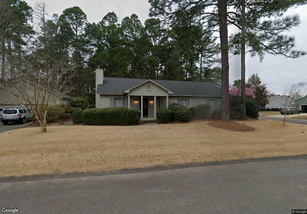
This home is located at 11 Carnoustie Ct, Aiken, SC 29803 and is currently estimated at $326,385, approximately $145 per square foot. 11 Carnoustie Ct is a home located in Aiken County with nearby schools including Aiken Elementary School, Schofield Middle School, and Aiken Intermediate School.
Ownership History
Date
Name
Owned For
Owner Type
Purchase Details
Closed on
Jun 2, 2016
Sold by
Kladivko Eileen J and The Adeline V Kladivko Trust
Bought by
Hausner Bonnie L and Hausner John E
Current Estimated Value
Purchase Details
Closed on
May 27, 2016
Sold by
Kladivko Eileen J and David Kladivko Trust
Bought by
Kladivko Eileen J and Adeline V Kladivko Trust
Purchase Details
Closed on
Jun 9, 2009
Sold by
Mckellar Robert W and Trust Agreement Of Beatrice W
Bought by
Kladivko David and Kladivko Adeline
Create a Home Valuation Report for This Property
The Home Valuation Report is an in-depth analysis detailing your home's value as well as a comparison with similar homes in the area
Home Values in the Area
Average Home Value in this Area
Purchase History
| Date | Buyer | Sale Price | Title Company |
|---|---|---|---|
| Hausner Bonnie L | $162,000 | -- | |
| Kladivko Eileen J | -- | -- | |
| Kladivko David | $206,000 | -- |
Source: Public Records
Tax History Compared to Growth
Tax History
| Year | Tax Paid | Tax Assessment Tax Assessment Total Assessment is a certain percentage of the fair market value that is determined by local assessors to be the total taxable value of land and additions on the property. | Land | Improvement |
|---|---|---|---|---|
| 2023 | $2,594 | $11,060 | $1,500 | $159,290 |
| 2022 | $2,564 | $11,060 | $0 | $0 |
| 2021 | $2,566 | $11,060 | $0 | $0 |
| 2020 | $2,538 | $10,730 | $0 | $0 |
| 2019 | $2,538 | $10,730 | $0 | $0 |
| 2018 | $665 | $10,730 | $1,620 | $9,110 |
| 2017 | $2,486 | $0 | $0 | $0 |
| 2016 | $2,452 | $0 | $0 | $0 |
| 2015 | -- | $0 | $0 | $0 |
| 2014 | $614 | $0 | $0 | $0 |
| 2013 | -- | $0 | $0 | $0 |
Source: Public Records
Map
Nearby Homes
- 3 Perth Ct S
- 21 Troon Way
- 116 Cherry Hills Dr
- 0 Troon Way Unit 216310
- 149 Cherry Hills Dr
- 153 Cherry Hills Dr
- 4 Birkdale Ct E
- 1713 Pine Log Rd
- 44 Troon Way
- 1721 Pine Log Rd
- 20 Deerwood Dr
- 1 Whitemarsh Dr
- 84 Troon Way
- 9 Whitemarsh Dr
- Tbd Varden Dr
- 69 Cherry Hills Dr
- 11 Parkway S Unit E2
- 107 Riviera Rd
- 105 Interlachen Ct SW
- 1005 Bellreive Dr
- 2 Carnoustie Ct
- 4 Carnoustie Ct
- 21 St Andrews Way
- 19 St Andrews Way
- 21 Saint Andrews Way
- 19 Saint Andrews Way
- 12 Carnoustie Ct
- 10 Carnoustie Ct
- 22 Saint Andrews Way
- 23 Saint Andrews Way
- 23 St Andrews Way
- 8 Carnoustie Ct
- 25 Saint Andrews Way
- 16 Carnoustie Ct
- 12 Perth Ct N
- 1 Perth Ct S
- 18 Carnoustie Ct
- 27 Saint Andrews Way
- 11 Saint Andrews Way
- 20 Carnoustie Ct