11 Carter Farm Rd Saco, ME 04072
North Saco NeighborhoodEstimated Value: $413,000 - $466,000
3
Beds
2
Baths
1,208
Sq Ft
$371/Sq Ft
Est. Value
About This Home
This home is located at 11 Carter Farm Rd, Saco, ME 04072 and is currently estimated at $447,723, approximately $370 per square foot. 11 Carter Farm Rd is a home located in York County with nearby schools including C K Burns School, Saco Middle School, and Cornerstone Baptist Academy.
Ownership History
Date
Name
Owned For
Owner Type
Purchase Details
Closed on
Dec 5, 2007
Sold by
Gailitis Amy M and Gailitis Erik D
Bought by
Kornstadt Danielle M and Maragus Harry J
Current Estimated Value
Home Financials for this Owner
Home Financials are based on the most recent Mortgage that was taken out on this home.
Original Mortgage
$216,200
Outstanding Balance
$137,340
Interest Rate
6.37%
Mortgage Type
Purchase Money Mortgage
Estimated Equity
$310,383
Create a Home Valuation Report for This Property
The Home Valuation Report is an in-depth analysis detailing your home's value as well as a comparison with similar homes in the area
Home Values in the Area
Average Home Value in this Area
Purchase History
| Date | Buyer | Sale Price | Title Company |
|---|---|---|---|
| Kornstadt Danielle M | -- | -- |
Source: Public Records
Mortgage History
| Date | Status | Borrower | Loan Amount |
|---|---|---|---|
| Open | Kornstadt Danielle M | $216,200 | |
| Previous Owner | Kornstadt Danielle M | $169,000 |
Source: Public Records
Tax History Compared to Growth
Tax History
| Year | Tax Paid | Tax Assessment Tax Assessment Total Assessment is a certain percentage of the fair market value that is determined by local assessors to be the total taxable value of land and additions on the property. | Land | Improvement |
|---|---|---|---|---|
| 2024 | $4,776 | $339,900 | $148,300 | $191,600 |
| 2023 | $5,014 | $339,900 | $148,300 | $191,600 |
| 2022 | $4,518 | $246,500 | $112,900 | $133,600 |
| 2021 | $4,331 | $229,400 | $101,600 | $127,800 |
| 2020 | $4,074 | $207,100 | $89,500 | $117,600 |
| 2019 | $4,014 | $207,100 | $89,500 | $117,600 |
| 2018 | $3,855 | $198,900 | $81,300 | $117,600 |
| 2017 | $15,654 | $190,500 | $74,300 | $116,200 |
| 2016 | $3,331 | $171,500 | $59,300 | $112,200 |
| 2015 | $3,244 | $168,800 | $58,000 | $110,800 |
| 2014 | $3,143 | $168,800 | $58,000 | $110,800 |
| 2013 | $3,136 | $168,800 | $58,000 | $110,800 |
Source: Public Records
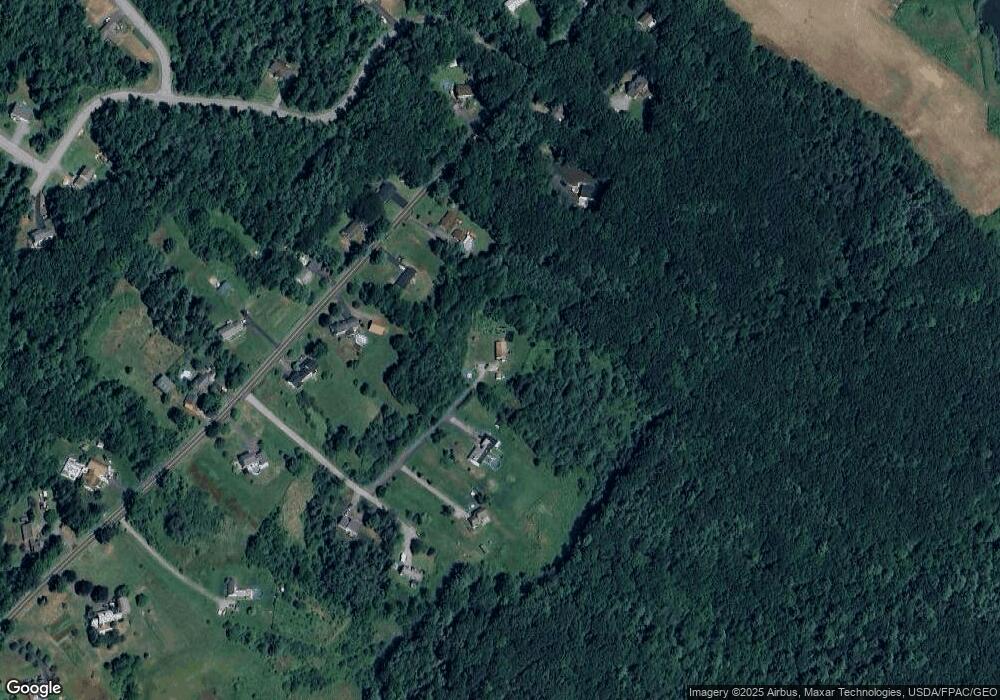
Map
Nearby Homes
- 75 Ash Swamp Rd
- 90 Broadturn Rd Unit 9
- 159 Stewart Dr
- 155 Stewart Dr
- 153 Stewart Dr
- 96C Broadturn Rd
- 149 Stewart Dr
- 91 B Broadturn Rd
- 29 Mccann Way Unit 29
- 72 Stewart Dr
- 9 Paulsen Dr
- 19 Paulsen Dr
- 994 Portland Rd Unit 14
- 994 Portland Rd Unit 4
- 5 Marguerite Rd
- 31 Old Blue Point Rd
- 79 Creeks Edge Dr
- 626 Us Route 1
- 77 Creeks Edge Dr
- 81 Creeks Edge Dr
- 9 Carter Farm Rd
- 113 Hearn Rd
- 105 Hearn Rd
- 108 Hearn Rd
- 117 Hearn Rd
- 7 Carter Farm Rd
- 101 Hearn Rd
- 104 Hearn Rd
- 0 Carter Farm Rd
- 112 Hearn Rd
- 3 Carter Farm Rd
- 121 Hearn Rd
- 5 Carter Farm Rd
- 0 Zachary Ln Unit 601509
- 0 Zachary Ln Unit 973990
- 102 Hearn Rd
- 116 Hearn Rd
- 95 Hearn Rd
- 98 Hearn Rd
- 66 Hearn Rd