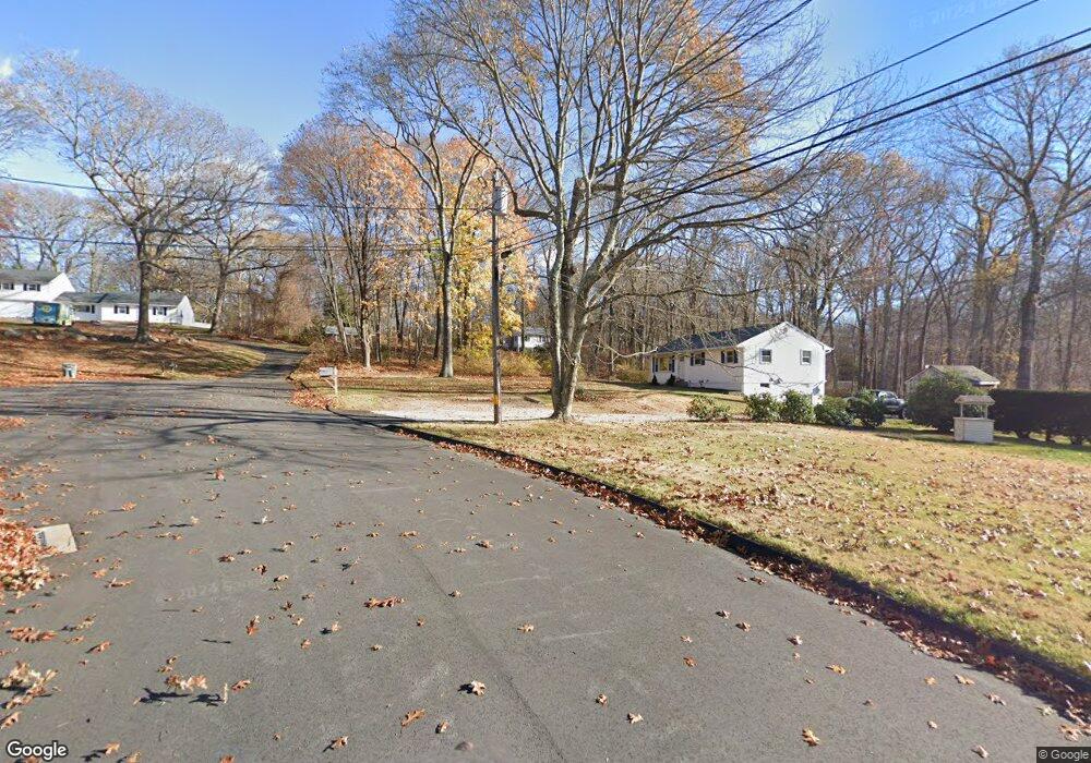
11 Cedar Ridge Rd East Lyme, CT 06333
Estimated Value: $377,000 - $434,259
3
Beds
2
Baths
1,196
Sq Ft
$338/Sq Ft
Est. Value
About This Home
This home is located at 11 Cedar Ridge Rd, East Lyme, CT 06333 and is currently estimated at $404,815, approximately $338 per square foot. 11 Cedar Ridge Rd is a home located in New London County with nearby schools including East Lyme Middle School, East Lyme High School, and Carelot Children's Center - East Lyme.
Ownership History
Date
Name
Owned For
Owner Type
Purchase Details
Closed on
Jun 16, 2023
Sold by
Yuhas John W Est and Yuhas
Bought by
Yuhas Matthew J
Current Estimated Value
Home Financials for this Owner
Home Financials are based on the most recent Mortgage that was taken out on this home.
Original Mortgage
$154,000
Outstanding Balance
$148,715
Interest Rate
4.99%
Mortgage Type
Purchase Money Mortgage
Estimated Equity
$256,100
Create a Home Valuation Report for This Property
The Home Valuation Report is an in-depth analysis detailing your home's value as well as a comparison with similar homes in the area
Home Values in the Area
Average Home Value in this Area
Purchase History
| Date | Buyer | Sale Price | Title Company |
|---|---|---|---|
| Yuhas Matthew J | $315,000 | None Available | |
| Yuhas Matthew J | $315,000 | None Available |
Source: Public Records
Mortgage History
| Date | Status | Borrower | Loan Amount |
|---|---|---|---|
| Open | Yuhas Matthew J | $154,000 | |
| Closed | Yuhas Matthew J | $154,000 |
Source: Public Records
Tax History Compared to Growth
Tax History
| Year | Tax Paid | Tax Assessment Tax Assessment Total Assessment is a certain percentage of the fair market value that is determined by local assessors to be the total taxable value of land and additions on the property. | Land | Improvement |
|---|---|---|---|---|
| 2025 | $6,235 | $222,600 | $95,620 | $126,980 |
| 2024 | $5,866 | $222,600 | $95,620 | $126,980 |
| 2023 | $5,538 | $222,600 | $95,620 | $126,980 |
| 2022 | $5,307 | $222,600 | $95,620 | $126,980 |
| 2021 | $5,057 | $177,380 | $90,860 | $86,520 |
| 2020 | $5,030 | $177,380 | $90,860 | $86,520 |
| 2019 | $5,000 | $177,380 | $90,860 | $86,520 |
| 2018 | $4,851 | $177,380 | $90,860 | $86,520 |
| 2017 | $4,640 | $177,380 | $90,860 | $86,520 |
| 2016 | $4,376 | $172,550 | $86,100 | $86,450 |
| 2015 | $4,264 | $172,550 | $86,100 | $86,450 |
| 2014 | $4,146 | $172,550 | $86,100 | $86,450 |
Source: Public Records
Map
Nearby Homes
- 496 Boston Post Rd
- 270 N Bride Brook Rd
- 223 N Bride Brook Rd
- 420 Boston Post Rd
- 57 Spring Rock Rd
- 287 Boston Post Rd
- Waramaug Plan at Riverside Reserve
- Highland Plan at Riverside Reserve
- Hayward Plan at Riverside Reserve
- Ashford Plan at Riverside Reserve
- Lillinonah Plan at Riverside Reserve
- 16 Twin Valley Rd
- 18 Twin Valley Rd
- 13 Willow Ln
- 6 Marion Dr
- 25 Marion Dr
- 5 Pumpkin Grove
- 11 Pumpkin Grove
- 28 Alexander Dr
- 14 Pumpkin Grove
- 9 Cedar Ridge Rd
- 12 Cedar Ridge Rd
- 480 Boston Post Rd
- 7 Cedar Ridge Rd
- 19 Applewood Common
- 10 Cedar Ridge Rd
- 18 Applewood Common
- 5 Cedar Ridge Rd
- 6 Cedar Ridge Rd
- 15 Applewood Common
- 4 Cedar Ridge Rd
- 482 Boston Post Rd
- 3 Cedar Ridge Rd
- 468 Boston Post Rd
- 486 Boston Post Rd
- 2 Cedar Ridge Rd
- 476 Boston Post Rd
- 470 Boston Post Rd
- 11 Applewood Common
- 14 Applewood Common