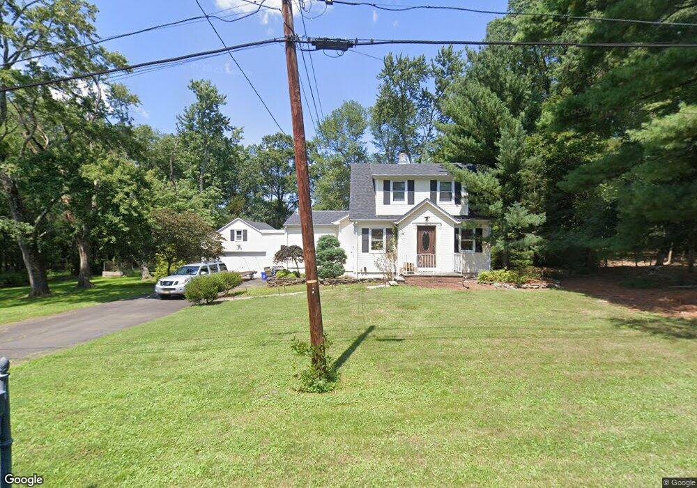
11 Cedar St Bridgewater, NJ 08807
Green Knoll NeighborhoodEstimated Value: $639,729 - $714,000
--
Bed
--
Bath
1,860
Sq Ft
$361/Sq Ft
Est. Value
About This Home
This home is located at 11 Cedar St, Bridgewater, NJ 08807 and is currently estimated at $671,932, approximately $361 per square foot. 11 Cedar St is a home located in Somerset County with nearby schools including Crim Primary School, Bridgewater-Raritan Middle School, and Hillside Intermediate School.
Ownership History
Date
Name
Owned For
Owner Type
Purchase Details
Closed on
Mar 9, 1997
Sold by
Rosa Linda
Bought by
Mays Robert and Mays Marion
Current Estimated Value
Purchase Details
Closed on
Sep 30, 1996
Sold by
Rosa Linda
Bought by
Mays Robert and Mays Marian
Home Financials for this Owner
Home Financials are based on the most recent Mortgage that was taken out on this home.
Original Mortgage
$176,000
Interest Rate
7.9%
Mortgage Type
VA
Create a Home Valuation Report for This Property
The Home Valuation Report is an in-depth analysis detailing your home's value as well as a comparison with similar homes in the area
Home Values in the Area
Average Home Value in this Area
Purchase History
| Date | Buyer | Sale Price | Title Company |
|---|---|---|---|
| Mays Robert | $196,000 | -- | |
| Mays Robert | $196,000 | -- |
Source: Public Records
Mortgage History
| Date | Status | Borrower | Loan Amount |
|---|---|---|---|
| Previous Owner | Mays Robert | $176,000 |
Source: Public Records
Tax History Compared to Growth
Tax History
| Year | Tax Paid | Tax Assessment Tax Assessment Total Assessment is a certain percentage of the fair market value that is determined by local assessors to be the total taxable value of land and additions on the property. | Land | Improvement |
|---|---|---|---|---|
| 2025 | $9,997 | $529,900 | $277,400 | $252,500 |
| 2024 | $9,997 | $512,400 | $277,400 | $235,000 |
| 2023 | $9,524 | $479,800 | $277,400 | $202,400 |
| 2022 | $9,280 | $452,000 | $277,400 | $174,600 |
| 2021 | $9,232 | $442,000 | $277,400 | $164,600 |
| 2020 | $9,209 | $439,800 | $277,400 | $162,400 |
| 2019 | $9,232 | $436,500 | $277,400 | $159,100 |
| 2018 | $9,193 | $435,700 | $277,400 | $158,300 |
| 2017 | $8,974 | $424,900 | $277,400 | $147,500 |
| 2016 | $8,830 | $424,300 | $277,400 | $146,900 |
| 2015 | $8,771 | $421,700 | $277,400 | $144,300 |
| 2014 | $8,851 | $419,100 | $277,400 | $141,700 |
Source: Public Records
Map
Nearby Homes
- 13 Lawton Rd
- 7 Monmouth Ave
- 114 Branch Rd
- 1600 Mountain Top Rd
- 1930 Mountain Top Rd
- 236 Longview Rd
- 148 Bonney Ct
- 1833 Mountain Top Rd
- 1173 Sherlin Dr
- 11 Ash St
- 703 Donald Dr S
- 20 Linvale Ln
- 691 Donald Dr S
- 20 Speer St
- 63 Twin Oaks Rd
- 18 Riviera Dr
- 22 Glenwood Terrace
- 42 Stryker Ct
- 61 Stella Dr
- 700 Half Foothill Rd