11 Chapman Ln Orondo, WA 98843
Estimated Value: $1,626,000 - $2,100,000
4
Beds
6
Baths
3,023
Sq Ft
$616/Sq Ft
Est. Value
About This Home
This home is located at 11 Chapman Ln, Orondo, WA 98843 and is currently estimated at $1,863,232, approximately $616 per square foot. 11 Chapman Ln is a home with nearby schools including Orondo Elementary/Middle School.
Ownership History
Date
Name
Owned For
Owner Type
Purchase Details
Closed on
Aug 15, 2023
Sold by
Sweepe Kevin
Bought by
Duncan Kathleen and Duncan Adam
Current Estimated Value
Purchase Details
Closed on
Dec 16, 2005
Sold by
Prynne Ronald and Prynne Connie
Bought by
Goff Justin and Goff Alicia
Purchase Details
Closed on
Nov 18, 2005
Sold by
Prynne Ronald and Prynne Connie
Bought by
Hamilton Bruce E and Hamilton Sandra A
Create a Home Valuation Report for This Property
The Home Valuation Report is an in-depth analysis detailing your home's value as well as a comparison with similar homes in the area
Home Values in the Area
Average Home Value in this Area
Purchase History
| Date | Buyer | Sale Price | Title Company |
|---|---|---|---|
| Duncan Kathleen | -- | None Listed On Document | |
| Brooks Joe | $8,250 | None Listed On Document | |
| Goff Justin | $365,000 | None Available | |
| Hamilton Bruce E | $360,000 | Transnation Title Insurance |
Source: Public Records
Tax History Compared to Growth
Tax History
| Year | Tax Paid | Tax Assessment Tax Assessment Total Assessment is a certain percentage of the fair market value that is determined by local assessors to be the total taxable value of land and additions on the property. | Land | Improvement |
|---|---|---|---|---|
| 2025 | $9,098 | $1,336,200 | $490,000 | $846,200 |
| 2024 | $9,098 | $1,344,600 | $490,000 | $854,600 |
| 2023 | $9,608 | $1,274,600 | $420,000 | $854,600 |
| 2022 | $7,873 | $919,700 | $350,000 | $569,700 |
| 2021 | $6,950 | $919,700 | $350,000 | $569,700 |
| 2020 | $6,714 | $829,000 | $350,000 | $479,000 |
| 2018 | $7,363 | $820,500 | $350,000 | $470,500 |
| 2017 | $7,161 | $820,500 | $350,000 | $470,500 |
| 2016 | $6,503 | $820,500 | $350,000 | $470,500 |
| 2015 | $5,619 | $739,400 | $350,000 | $389,400 |
| 2014 | -- | $595,300 | $250,000 | $345,300 |
| 2013 | -- | $250,000 | $250,000 | $0 |
Source: Public Records
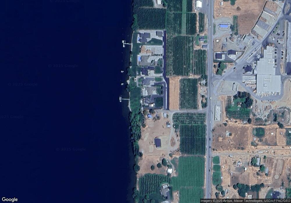
Map
Nearby Homes
- 21500 U S 97
- 0 Fisher Ln
- 13397 State Rd
- 24 Mile Entiat River Rd
- 66 Coyote Ln
- 0 XX Melvin Rd
- 25 Corral Ln
- 6 XX Chipmunk Trail
- 103 Fir Rd
- 2431 Entiat Way
- 9955 Griffith Place
- 9968 Griffith Place
- 98 Tyee View Loop Rd
- 2370 Albin Dr
- 219 Chipmunk Trail
- 0 Husky Run Rd
- 208 Falcon Ridge Rd
- 207 Falcon Ridge Rd
- 15003 Allison Place
- 202 Falcon Ridge Rd