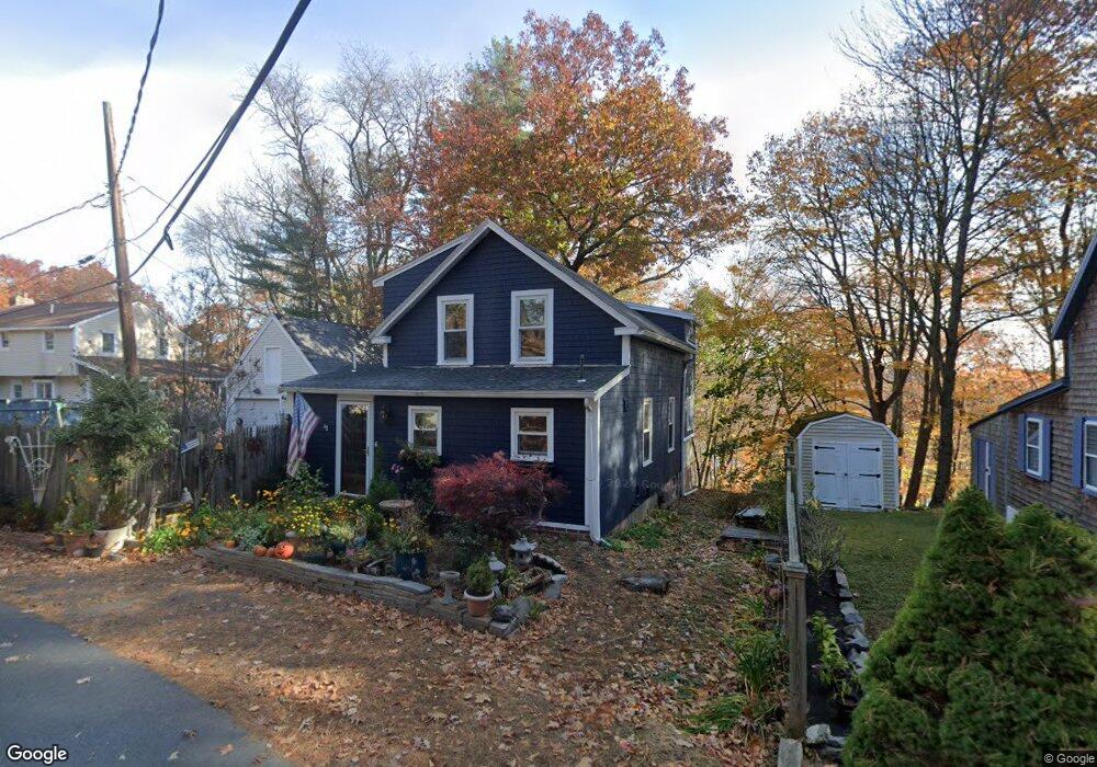
11 Chestnut St Merrimac, MA 01860
Estimated Value: $367,000 - $581,000
2
Beds
1
Bath
1,240
Sq Ft
$398/Sq Ft
Est. Value
About This Home
This home is located at 11 Chestnut St, Merrimac, MA 01860 and is currently estimated at $494,090, approximately $398 per square foot. 11 Chestnut St is a home located in Essex County with nearby schools including Pentucket Regional High School.
Ownership History
Date
Name
Owned For
Owner Type
Purchase Details
Closed on
Jan 21, 2005
Sold by
Adams 3Rd Gilbert C and Bayley Lori A
Bought by
Lussier James P
Current Estimated Value
Home Financials for this Owner
Home Financials are based on the most recent Mortgage that was taken out on this home.
Original Mortgage
$238,000
Interest Rate
5.71%
Mortgage Type
Purchase Money Mortgage
Purchase Details
Closed on
Dec 23, 1999
Sold by
Lancey Cheryl A and Rogers Cheryl A
Bought by
Adams Gilbert C and Bayley Lori A
Create a Home Valuation Report for This Property
The Home Valuation Report is an in-depth analysis detailing your home's value as well as a comparison with similar homes in the area
Home Values in the Area
Average Home Value in this Area
Purchase History
| Date | Buyer | Sale Price | Title Company |
|---|---|---|---|
| Lussier James P | $270,000 | -- | |
| Adams Gilbert C | $155,000 | -- |
Source: Public Records
Mortgage History
| Date | Status | Borrower | Loan Amount |
|---|---|---|---|
| Open | Adams Gilbert C | $238,093 | |
| Closed | Adams Gilbert C | $238,000 | |
| Previous Owner | Adams Gilbert C | $172,500 |
Source: Public Records
Tax History Compared to Growth
Tax History
| Year | Tax Paid | Tax Assessment Tax Assessment Total Assessment is a certain percentage of the fair market value that is determined by local assessors to be the total taxable value of land and additions on the property. | Land | Improvement |
|---|---|---|---|---|
| 2025 | $5,964 | $450,100 | $286,000 | $164,100 |
| 2024 | $6,010 | $445,200 | $286,000 | $159,200 |
| 2023 | $5,703 | $386,100 | $247,800 | $138,300 |
| 2022 | $5,360 | $328,000 | $197,000 | $131,000 |
| 2021 | $5,141 | $315,400 | $190,600 | $124,800 |
| 2020 | $4,693 | $315,400 | $190,600 | $124,800 |
| 2019 | $4,830 | $305,500 | $190,600 | $114,900 |
| 2018 | $4,848 | $307,600 | $190,600 | $117,000 |
| 2017 | $5,026 | $307,600 | $190,600 | $117,000 |
| 2016 | $4,580 | $283,400 | $171,600 | $111,800 |
| 2015 | $4,488 | $276,200 | $171,600 | $104,600 |
| 2014 | $4,355 | $274,100 | $171,600 | $102,500 |
Source: Public Records
Map
Nearby Homes