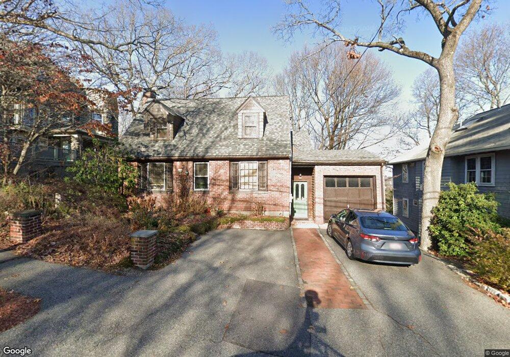
11 Cliff St Arlington, MA 02476
Arlington Heights NeighborhoodEstimated Value: $1,204,000 - $1,541,000
5
Beds
4
Baths
2,559
Sq Ft
$535/Sq Ft
Est. Value
About This Home
This home is located at 11 Cliff St, Arlington, MA 02476 and is currently estimated at $1,368,159, approximately $534 per square foot. 11 Cliff St is a home located in Middlesex County with nearby schools including Dallin Elementary School, Brackett Elementary School, and Ottoson Middle School.
Ownership History
Date
Name
Owned For
Owner Type
Purchase Details
Closed on
May 27, 2015
Sold by
Carman Matthew S and Carman Maki K
Bought by
Carman Maki K and Koto Takashi
Current Estimated Value
Purchase Details
Closed on
Mar 29, 2004
Sold by
Carman Maki Koto and Carman Matthew S
Bought by
Carman Maki Koto and Carman Matthew S
Purchase Details
Closed on
Mar 22, 2004
Sold by
Carman Maki Koto and Carman Matthew S
Bought by
Carman Maki Koto and Carman Matthew S
Create a Home Valuation Report for This Property
The Home Valuation Report is an in-depth analysis detailing your home's value as well as a comparison with similar homes in the area
Home Values in the Area
Average Home Value in this Area
Purchase History
| Date | Buyer | Sale Price | Title Company |
|---|---|---|---|
| Carman Maki K | -- | -- | |
| Carman Maki Koto | -- | -- | |
| Carman Maki Koto | -- | -- |
Source: Public Records
Tax History Compared to Growth
Tax History
| Year | Tax Paid | Tax Assessment Tax Assessment Total Assessment is a certain percentage of the fair market value that is determined by local assessors to be the total taxable value of land and additions on the property. | Land | Improvement |
|---|---|---|---|---|
| 2025 | $12,714 | $1,180,500 | $653,800 | $526,700 |
| 2024 | $11,600 | $1,095,400 | $618,700 | $476,700 |
| 2023 | $10,616 | $947,000 | $541,300 | $405,700 |
| 2022 | $10,048 | $879,900 | $492,100 | $387,800 |
| 2021 | $9,832 | $867,000 | $492,100 | $374,900 |
| 2020 | $9,586 | $866,700 | $492,100 | $374,600 |
| 2019 | $9,026 | $801,600 | $492,100 | $309,500 |
| 2018 | $9,038 | $745,100 | $435,900 | $309,200 |
| 2017 | $8,475 | $674,800 | $365,600 | $309,200 |
| 2016 | $8,637 | $674,800 | $365,600 | $309,200 |
| 2015 | -- | $607,400 | $316,400 | $291,000 |
Source: Public Records
Map
Nearby Homes
- 37 Fountain Rd Unit 2
- 37 Fountain Rd
- 6 Appleton Place
- 11 Lowell St Unit B
- 1205 Massachusetts Ave
- 15 Higgins St Unit 17
- 1 Watermill Place Unit 309
- 1 Watermill Place Unit 308
- 51 Lowell St
- 4 Beck Rd
- 56 Valentine Rd
- 14 Park Avenue Extension
- 18-20 Brattle St
- 1025 Massachusetts Ave Unit 404
- 1025 Massachusetts Ave Unit 506
- 1025 Massachusetts Ave Unit 401
- 1025 Massachusetts Ave Unit 210
- 1025 Massachusetts Ave Unit 402
- 1025 Massachusetts Ave Unit 308
- 1025 Massachusetts Ave Unit 411