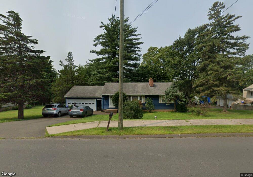
11 Coles Rd Cromwell, CT 06416
Estimated Value: $343,000 - $458,000
3
Beds
2
Baths
1,152
Sq Ft
$340/Sq Ft
Est. Value
About This Home
This home is located at 11 Coles Rd, Cromwell, CT 06416 and is currently estimated at $391,693, approximately $340 per square foot. 11 Coles Rd is a home located in Middlesex County with nearby schools including Edna C. Stevens School, Woodside Intermediate School, and Cromwell Middle School.
Ownership History
Date
Name
Owned For
Owner Type
Purchase Details
Closed on
Oct 12, 1995
Sold by
Bogdan Martin J and Bogdan Carrie S
Bought by
Sinacore Ronald J and Sinacore Frances B
Current Estimated Value
Home Financials for this Owner
Home Financials are based on the most recent Mortgage that was taken out on this home.
Original Mortgage
$126,381
Outstanding Balance
$515
Interest Rate
2.75%
Mortgage Type
Purchase Money Mortgage
Estimated Equity
$391,178
Create a Home Valuation Report for This Property
The Home Valuation Report is an in-depth analysis detailing your home's value as well as a comparison with similar homes in the area
Home Values in the Area
Average Home Value in this Area
Purchase History
| Date | Buyer | Sale Price | Title Company |
|---|---|---|---|
| Sinacore Ronald J | $129,900 | -- | |
| Sinacore Ronald J | $129,900 | -- |
Source: Public Records
Mortgage History
| Date | Status | Borrower | Loan Amount |
|---|---|---|---|
| Open | Sinacore Ronald J | $126,381 | |
| Closed | Sinacore Ronald J | $126,381 | |
| Previous Owner | Sinacore Ronald J | $69,000 |
Source: Public Records
Tax History
| Year | Tax Paid | Tax Assessment Tax Assessment Total Assessment is a certain percentage of the fair market value that is determined by local assessors to be the total taxable value of land and additions on the property. | Land | Improvement |
|---|---|---|---|---|
| 2025 | $5,326 | $172,970 | $74,830 | $98,140 |
| 2024 | $5,201 | $172,970 | $74,830 | $98,140 |
| 2023 | $5,087 | $172,970 | $74,830 | $98,140 |
| 2022 | $4,162 | $124,880 | $65,310 | $59,570 |
| 2021 | $4,162 | $124,880 | $65,310 | $59,570 |
| 2020 | $4,100 | $124,880 | $65,310 | $59,570 |
| 2019 | $4,100 | $124,880 | $65,310 | $59,570 |
| 2018 | $4,100 | $124,880 | $65,310 | $59,570 |
| 2017 | $3,507 | $103,370 | $49,890 | $53,480 |
| 2016 | $3,476 | $103,370 | $49,890 | $53,480 |
| 2015 | $3,244 | $103,370 | $49,890 | $53,480 |
| 2014 | $3,440 | $103,370 | $49,890 | $53,480 |
Source: Public Records
Map
Nearby Homes
- 134 Trolley Crossing Ln
- 30 Glenview Dr Unit 30
- 37 Coles Rd
- 59 Trolley Crossing Ln Unit 59
- 123 Burgundy Hill Ln
- 227 Burgundy Hill Ln Unit 227
- 56 Burgundy Hill Ln Unit 56
- 10 Clubhouse Dr
- 43 Sunridge Ln
- 3 Hunters Run Unit 3
- 34 Woodsboro Cir Unit 34
- 17 Hemlock Ct Unit 17
- 29 Mountain Laurel Ct Unit 29
- 36 Rising Trail Dr Unit 36
- 182 Rising Trail Dr Unit 182
- 22 Linda Ct Unit 22
- 7 Willow Ct Unit 7
- 10 Dogwood Ct Unit 10
- 9 Willow Ct
- 14 Rising Trail Dr
Your Personal Tour Guide
Ask me questions while you tour the home.