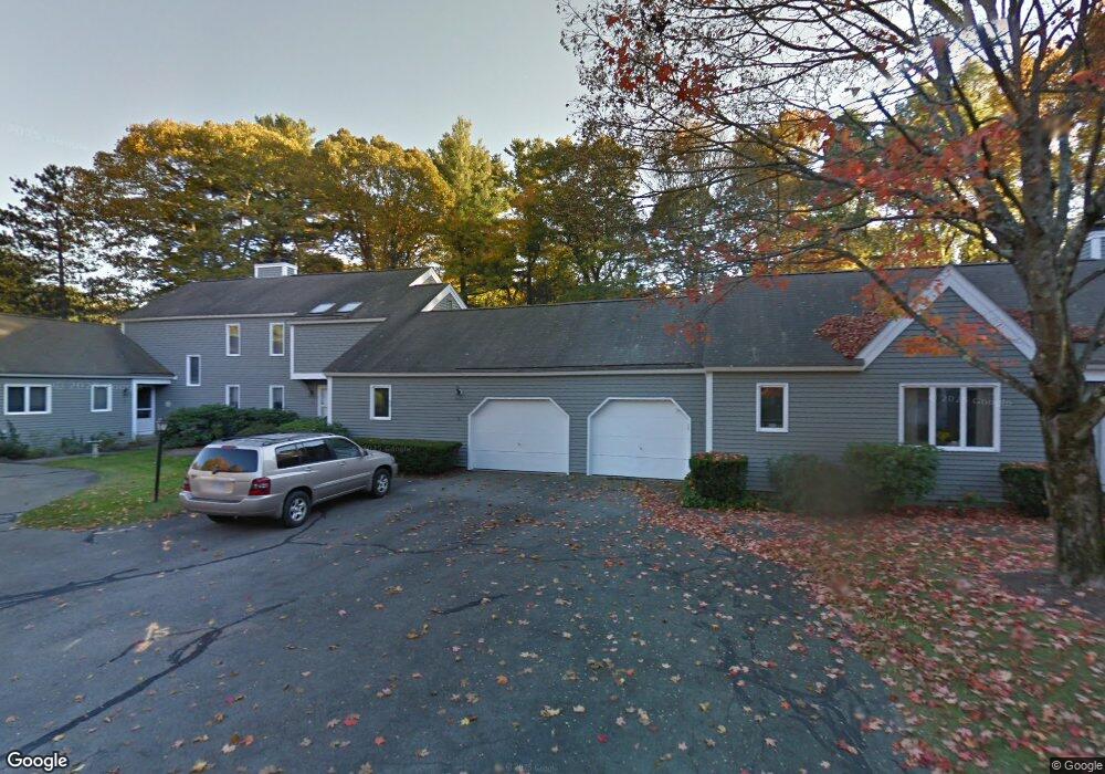
11 Coltsway Wayland, MA 01778
Estimated Value: $699,000 - $752,000
2
Beds
2
Baths
1,553
Sq Ft
$468/Sq Ft
Est. Value
About This Home
This home is located at 11 Coltsway, Wayland, MA 01778 and is currently estimated at $726,125, approximately $467 per square foot. 11 Coltsway is a home located in Middlesex County with nearby schools including Wayland High School, Veritas Christian Academy, and The Rivers School.
Ownership History
Date
Name
Owned For
Owner Type
Purchase Details
Closed on
Apr 15, 2020
Sold by
Joanne Wilder Davis T
Bought by
Edward J Finn 2015 Ret
Current Estimated Value
Home Financials for this Owner
Home Financials are based on the most recent Mortgage that was taken out on this home.
Original Mortgage
$364,000
Interest Rate
2.9%
Mortgage Type
New Conventional
Purchase Details
Closed on
Apr 29, 2013
Sold by
Davis Joanne W
Bought by
Joanne W Davis T and Davis Joanne W
Purchase Details
Closed on
May 26, 2010
Sold by
Kaitz Marlene and Kaitz Alan L
Bought by
Davis Joanne W
Purchase Details
Closed on
Jun 2, 2004
Sold by
Kurzina Peter S
Bought by
Marlene Kaitz 1992 Ret and Kaitz Alan L
Purchase Details
Closed on
Oct 16, 1995
Sold by
Wernick Erma B
Bought by
Kurzina Barbara F
Create a Home Valuation Report for This Property
The Home Valuation Report is an in-depth analysis detailing your home's value as well as a comparison with similar homes in the area
Home Values in the Area
Average Home Value in this Area
Purchase History
| Date | Buyer | Sale Price | Title Company |
|---|---|---|---|
| Edward J Finn 2015 Ret | $455,000 | None Available | |
| Joanne W Davis T | -- | -- | |
| Davis Joanne W | $440,000 | -- | |
| Marlene Kaitz 1992 Ret | $507,500 | -- | |
| Kurzina Barbara F | $257,000 | -- |
Source: Public Records
Mortgage History
| Date | Status | Borrower | Loan Amount |
|---|---|---|---|
| Previous Owner | Edward J Finn 2015 Ret | $364,000 | |
| Previous Owner | Kurzina Barbara F | $160,000 |
Source: Public Records
Tax History Compared to Growth
Tax History
| Year | Tax Paid | Tax Assessment Tax Assessment Total Assessment is a certain percentage of the fair market value that is determined by local assessors to be the total taxable value of land and additions on the property. | Land | Improvement |
|---|---|---|---|---|
| 2025 | $9,170 | $586,700 | $0 | $586,700 |
| 2024 | $9,106 | $586,700 | $0 | $586,700 |
| 2023 | $8,753 | $525,700 | $0 | $525,700 |
| 2022 | $8,799 | $479,500 | $0 | $479,500 |
| 2021 | $7,867 | $424,800 | $0 | $424,800 |
| 2020 | $7,912 | $445,500 | $0 | $445,500 |
| 2019 | $7,712 | $421,900 | $0 | $421,900 |
| 2018 | $7,232 | $401,100 | $0 | $401,100 |
| 2017 | $7,078 | $390,200 | $0 | $390,200 |
| 2016 | $6,697 | $386,200 | $0 | $386,200 |
| 2015 | $7,080 | $385,000 | $0 | $385,000 |
Source: Public Records
Map
Nearby Homes
- 6 Steepletree Ln
- 606 Wisteria Way
- 8 Fox Hollow
- 1601 Wisteria Way
- 12 Astra
- 125 Woodridge Rd
- 620 South Ave
- 42 Westerly Rd
- 180 Highland St
- 19 Old Connecticut Path
- 262 Cochituate Rd
- 12 Nancy Rd
- 6 Briar Ln
- 10 Hayward Rd
- 02 Wellesley St
- 01 Wellesley St
- 1 Winter St
- 156 Boston Post Rd
- 26 Dudley Rd
- 3 Keith Rd