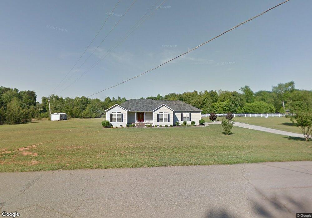
11 Cory Dr Macon, GA 31210
Bolingbroke NeighborhoodEstimated Value: $345,921 - $481,000
3
Beds
3
Baths
2,234
Sq Ft
$180/Sq Ft
Est. Value
About This Home
This home is located at 11 Cory Dr, Macon, GA 31210 and is currently estimated at $401,480, approximately $179 per square foot. 11 Cory Dr is a home located in Monroe County with nearby schools including T.G. Scott Elementary School, Mary Persons High School, and Wynfield Christian Academy.
Ownership History
Date
Name
Owned For
Owner Type
Purchase Details
Closed on
Jun 19, 2009
Sold by
Smith Jimmy
Bought by
Caldwell Victor L
Current Estimated Value
Home Financials for this Owner
Home Financials are based on the most recent Mortgage that was taken out on this home.
Original Mortgage
$100,000
Interest Rate
4.79%
Mortgage Type
New Conventional
Purchase Details
Closed on
Dec 7, 2004
Bought by
Smith Jimmy and Smith Sharon
Create a Home Valuation Report for This Property
The Home Valuation Report is an in-depth analysis detailing your home's value as well as a comparison with similar homes in the area
Home Values in the Area
Average Home Value in this Area
Purchase History
| Date | Buyer | Sale Price | Title Company |
|---|---|---|---|
| Caldwell Victor L | $187,000 | -- | |
| Smith Jimmy | $196,900 | -- |
Source: Public Records
Mortgage History
| Date | Status | Borrower | Loan Amount |
|---|---|---|---|
| Closed | Caldwell Victor L | $100,000 |
Source: Public Records
Tax History Compared to Growth
Tax History
| Year | Tax Paid | Tax Assessment Tax Assessment Total Assessment is a certain percentage of the fair market value that is determined by local assessors to be the total taxable value of land and additions on the property. | Land | Improvement |
|---|---|---|---|---|
| 2024 | $1,661 | $77,908 | $21,040 | $56,868 |
| 2023 | $1,586 | $68,468 | $21,040 | $47,428 |
| 2022 | $1,349 | $68,468 | $21,040 | $47,428 |
| 2021 | $1,400 | $68,468 | $21,040 | $47,428 |
| 2020 | $1,436 | $68,468 | $21,040 | $47,428 |
| 2019 | $1,447 | $68,468 | $21,040 | $47,428 |
| 2018 | $1,640 | $68,468 | $21,040 | $47,428 |
| 2017 | $1,990 | $68,468 | $21,040 | $47,428 |
| 2016 | $1,560 | $68,468 | $21,040 | $47,428 |
| 2015 | $1,480 | $68,468 | $21,040 | $47,428 |
| 2014 | $1,428 | $68,468 | $21,040 | $47,428 |
Source: Public Records
Map
Nearby Homes
- 11 Fawn Dr
- 8827 Estes Rd
- 1193 Pea Ridge Rd
- 158 Caroline Ct
- 202 Hilltop Cir
- 198 Jennings Ln
- 311 N Rivoli Farms Dr
- 0 Old Benton Rd Unit 179774
- 0 Old Benton Rd Unit 10523972
- 1301 Exchange Dr
- 1402 Cottage Hill Dr
- 8757 Estes Rd
- 261 Providence Blvd
- 136 Rivoli Ridge Dr
- 8692 Estes Rd
- 1122 Irongate
- 106 Whistler Ln
- 8 Cory Dr
- 50 Cory Dr
- 50 Cory Dr Unit 2
- 63 Cory Dr
- 10673 Estes Rd
- 0 Estes Rd Unit 22F 2415915
- 0 Estes Rd Unit LOT 12 7065261
- 0 Estes Rd Unit 22F 7238903
- 0 Estes Rd Unit 7309844
- 0 Estes Rd Unit 7451631
- 0 Estes Rd Unit 153150
- 0 Estes Rd Unit 130600
- 0 Estes Rd Unit 8581161
- 0 Estes Rd Unit M143529
- 0 Estes Rd Unit M139808
- 0 Estes Rd Unit M139804
- 0 Estes Rd Unit 8764024
- 0 Estes Rd Unit M114810
- 0 Estes Rd Unit M114811
- 0 Estes Rd Unit M114808