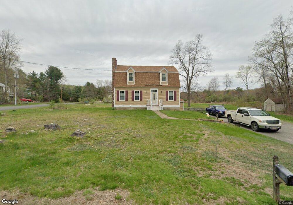
11 Crestview Rd Littleton, MA 01460
Estimated Value: $734,379 - $857,000
3
Beds
3
Baths
1,876
Sq Ft
$419/Sq Ft
Est. Value
About This Home
This home is located at 11 Crestview Rd, Littleton, MA 01460 and is currently estimated at $786,345, approximately $419 per square foot. 11 Crestview Rd is a home located in Middlesex County with nearby schools including Shaker Lane Elementary School, Russell Street Elementary School, and Littleton Middle School.
Ownership History
Date
Name
Owned For
Owner Type
Purchase Details
Closed on
Apr 25, 2003
Sold by
Slattery Nancy
Bought by
Welch Christopher M
Current Estimated Value
Home Financials for this Owner
Home Financials are based on the most recent Mortgage that was taken out on this home.
Original Mortgage
$230,000
Outstanding Balance
$94,521
Interest Rate
5.64%
Mortgage Type
Purchase Money Mortgage
Estimated Equity
$691,824
Create a Home Valuation Report for This Property
The Home Valuation Report is an in-depth analysis detailing your home's value as well as a comparison with similar homes in the area
Purchase History
| Date | Buyer | Sale Price | Title Company |
|---|---|---|---|
| Welch Christopher M | $406,000 | -- |
Source: Public Records
Mortgage History
| Date | Status | Borrower | Loan Amount |
|---|---|---|---|
| Open | Welch Christopher M | $230,000 |
Source: Public Records
Tax History
| Year | Tax Paid | Tax Assessment Tax Assessment Total Assessment is a certain percentage of the fair market value that is determined by local assessors to be the total taxable value of land and additions on the property. | Land | Improvement |
|---|---|---|---|---|
| 2025 | $95 | $636,600 | $244,700 | $391,900 |
| 2024 | $8,925 | $601,400 | $244,700 | $356,700 |
| 2023 | $8,531 | $525,000 | $225,400 | $299,600 |
| 2022 | $8,242 | $465,400 | $225,400 | $240,000 |
| 2021 | $7,643 | $431,800 | $212,500 | $219,300 |
| 2020 | $7,362 | $414,300 | $196,000 | $218,300 |
| 2019 | $7,017 | $384,700 | $166,200 | $218,500 |
| 2018 | $6,998 | $385,800 | $170,400 | $215,400 |
| 2017 | $6,848 | $377,300 | $161,900 | $215,400 |
| 2016 | $6,673 | $377,200 | $161,900 | $215,300 |
| 2015 | $6,462 | $357,000 | $140,600 | $216,400 |
Source: Public Records
Map
Nearby Homes
- 60 Nashoba Rd
- 4 Omega Way
- 8 Algonquin Rd
- 4 Littlefield Rd
- 305 Harwood Ave
- 5 Perkins Ln
- 79 Charter Rd
- 146 Tahattawan Rd
- 235 Arlington St
- 35 Queen Rd
- 285 Central St Unit 285
- 19 Ipswich Dr
- 14 Leonard Rd
- 36 Leonard Rd
- 18 Long Lake Rd
- 18 Hayward Rd
- 959 Hill Rd
- 11 Braebrook
- 33 Meadowbrook Rd
- 159 Skyline Dr Unit 159
- Lot 2-20 Crestview Rd
- 6 Crestview Rd
- 4 Crestview Rd
- 8 Crestview Rd
- 10 Crestview Rd
- 15 Crestview Rd
- 12 Crestview Rd
- Lot 2-19 Creastview Rd
- 2 Crestview Rd
- 19 Crestview Rd
- 16 Crestview Rd
- 18 Crestview Rd
- 21 Crestview Rd
- 628 Newtown Rd
- 20 Crestview Rd
- 23 Crestview Rd
- 619 Newtown Rd
- 1 Fort Pond Hill Rd
- 3 Fort Pond Hill Rd
- 0 Newtown Rd
Your Personal Tour Guide
Ask me questions while you tour the home.