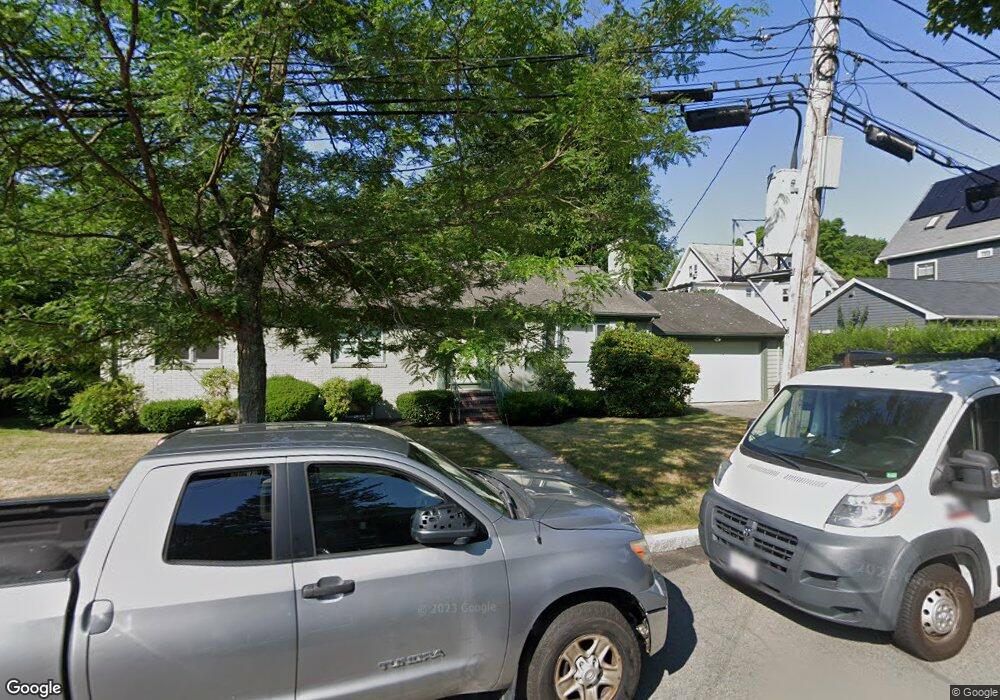
11 Cushing St Newton Highlands, MA 02461
Newton Highlands NeighborhoodEstimated Value: $1,577,000 - $1,896,000
3
Beds
2
Baths
1,512
Sq Ft
$1,143/Sq Ft
Est. Value
About This Home
This home is located at 11 Cushing St, Newton Highlands, MA 02461 and is currently estimated at $1,728,290, approximately $1,143 per square foot. 11 Cushing St is a home located in Middlesex County with nearby schools including Mason Rice Elementary School, Charles E Brown Middle School, and Newton South High School.
Ownership History
Date
Name
Owned For
Owner Type
Purchase Details
Closed on
Aug 16, 2017
Sold by
Lombardo Ft
Bought by
Gore Anya V and Gore Matthew W
Current Estimated Value
Home Financials for this Owner
Home Financials are based on the most recent Mortgage that was taken out on this home.
Original Mortgage
$350,000
Outstanding Balance
$292,048
Interest Rate
3.96%
Mortgage Type
New Conventional
Estimated Equity
$1,436,242
Purchase Details
Closed on
Jan 12, 1994
Sold by
Lombardo Stephen P
Bought by
Lombardo Carmen P
Home Financials for this Owner
Home Financials are based on the most recent Mortgage that was taken out on this home.
Original Mortgage
$77,000
Interest Rate
7.22%
Mortgage Type
Purchase Money Mortgage
Create a Home Valuation Report for This Property
The Home Valuation Report is an in-depth analysis detailing your home's value as well as a comparison with similar homes in the area
Home Values in the Area
Average Home Value in this Area
Purchase History
| Date | Buyer | Sale Price | Title Company |
|---|---|---|---|
| Gore Anya V | $1,001,018 | -- | |
| Lombardo Carmen P | $76,667 | -- |
Source: Public Records
Mortgage History
| Date | Status | Borrower | Loan Amount |
|---|---|---|---|
| Open | Gore Anya V | $350,000 | |
| Previous Owner | Lombardo Carmen P | $77,000 |
Source: Public Records
Tax History Compared to Growth
Tax History
| Year | Tax Paid | Tax Assessment Tax Assessment Total Assessment is a certain percentage of the fair market value that is determined by local assessors to be the total taxable value of land and additions on the property. | Land | Improvement |
|---|---|---|---|---|
| 2025 | $13,500 | $1,377,600 | $1,083,800 | $293,800 |
| 2024 | $13,054 | $1,337,500 | $1,052,200 | $285,300 |
| 2023 | $12,261 | $1,204,400 | $805,000 | $399,400 |
| 2022 | $11,732 | $1,115,200 | $745,400 | $369,800 |
| 2021 | $10,907 | $1,013,700 | $703,200 | $310,500 |
| 2020 | $10,583 | $1,013,700 | $703,200 | $310,500 |
| 2019 | $10,285 | $984,200 | $682,700 | $301,500 |
| 2018 | $8,418 | $778,000 | $561,000 | $217,000 |
| 2017 | $8,162 | $734,000 | $529,200 | $204,800 |
| 2016 | $7,807 | $686,000 | $494,600 | $191,400 |
| 2015 | $7,443 | $641,100 | $462,200 | $178,900 |
Source: Public Records
Map
Nearby Homes
- 1597 Centre St Unit 1597
- 1597 Centre St
- 1623-1625 Centre St
- 1629 Centre St
- 1151 Walnut St Unit 205
- 1151 Walnut St Unit 405
- 1151 Walnut St Unit 207
- 125 Oakdale Rd
- 1292 Walnut St
- 2 Raeburn Terrace
- 671 Boylston St
- 1308 Walnut St
- 42 Sunhill Ln
- 5 Halcyon Rd
- 956 Walnut St Unit 4
- 956 Walnut St Unit 7
- 956 Walnut St Unit 6
- 625 Boylston St
- 628 Boylston St
- 3 Glenmore Terrace Unit 2
- 17 Cushing St
- 1547 Centre St
- 168 Allerton Rd
- 174 Allerton Rd
- 174 Allerton Rd Unit 1
- 12 Cushing St
- 154 Allerton Rd
- 20 Cushing St
- 178 Allerton Rd Unit 180
- 178 Allerton Rd Unit 1
- 1535 Centre St
- 1525 Centre St
- 182 Allerton Rd
- 146 Allerton Rd
- 184 Allerton Rd
- 184 Allerton Rd Unit 182
- 1515 Centre St
- 169 Allerton Rd
- 161 Allerton Rd
- 175 Allerton Rd