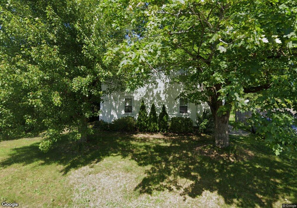
11 Dalton St Unit 13 Wilbraham, MA 01095
Estimated Value: $315,000 - $432,000
4
Beds
2
Baths
2,166
Sq Ft
$164/Sq Ft
Est. Value
About This Home
This home is located at 11 Dalton St Unit 13, Wilbraham, MA 01095 and is currently estimated at $355,700, approximately $164 per square foot. 11 Dalton St Unit 13 is a home located in Hampden County with nearby schools including Minnechaug Regional High School and St. John the Baptist School.
Ownership History
Date
Name
Owned For
Owner Type
Purchase Details
Closed on
Apr 21, 1995
Sold by
Mastalerz Helen A and Jachym Thaddeus M
Bought by
Boulanger William J
Current Estimated Value
Home Financials for this Owner
Home Financials are based on the most recent Mortgage that was taken out on this home.
Original Mortgage
$99,700
Interest Rate
8.55%
Mortgage Type
Purchase Money Mortgage
Create a Home Valuation Report for This Property
The Home Valuation Report is an in-depth analysis detailing your home's value as well as a comparison with similar homes in the area
Home Values in the Area
Average Home Value in this Area
Purchase History
| Date | Buyer | Sale Price | Title Company |
|---|---|---|---|
| Boulanger William J | $105,000 | -- |
Source: Public Records
Mortgage History
| Date | Status | Borrower | Loan Amount |
|---|---|---|---|
| Closed | Boulanger William J | $99,700 |
Source: Public Records
Tax History Compared to Growth
Tax History
| Year | Tax Paid | Tax Assessment Tax Assessment Total Assessment is a certain percentage of the fair market value that is determined by local assessors to be the total taxable value of land and additions on the property. | Land | Improvement |
|---|---|---|---|---|
| 2025 | $4,917 | $275,000 | $59,100 | $215,900 |
| 2024 | $4,840 | $261,600 | $59,100 | $202,500 |
| 2023 | $4,856 | $259,700 | $59,100 | $200,600 |
| 2022 | $5,213 | $254,400 | $54,500 | $199,900 |
| 2021 | $4,507 | $196,300 | $69,400 | $126,900 |
| 2020 | $4,393 | $196,300 | $69,400 | $126,900 |
| 2019 | $4,279 | $196,300 | $69,400 | $126,900 |
| 2018 | $4,444 | $196,300 | $69,400 | $126,900 |
| 2017 | $4,319 | $196,300 | $69,400 | $126,900 |
| 2016 | $3,558 | $164,700 | $69,000 | $95,700 |
| 2015 | $3,439 | $164,700 | $69,000 | $95,700 |
Source: Public Records
Map
Nearby Homes
- 89-91 Stony Hill Rd
- 13 - 13.5 Weston St
- 12 Weston St
- 24 Dumaine St
- 49 Hatch St
- 0 Parker St (Ws) Unit 73388310
- 63 Parker St
- 201 Verge St
- 45 Meadow St
- 0 Center St Unit 73386385
- 0 Center St Unit 73415933
- 25 Burke St
- 32 Berkshire St
- 188B Parker St
- 27 Goodwin St
- 188 Parker St
- 76 Kent Rd
- 19 Essex St
- 252 Parker St
- 70 Nagle St
- 15 Dalton St Unit 17
- 7 Dalton St
- 12 Dalton St
- 65 Stony Hill Rd
- 65 Stony Hill Rd Unit 67
- 16 Dalton St
- 19 Dalton St Unit 21
- 19 Dalton St Unit 1
- 10 Dalton St
- 61 Stony Hill Rd Unit 63
- 61-63 Stony Hill Rd
- 57 Stony Hill Rd Unit 59
- 57 Stony Hill Rd Unit 1
- 57 Stony Hill Rd
- 8 Dalton St
- 45 Weston St
- 39 Weston St
- 69 Stony Hill Rd Unit 71
- 43 Weston St
- 43 Weston St