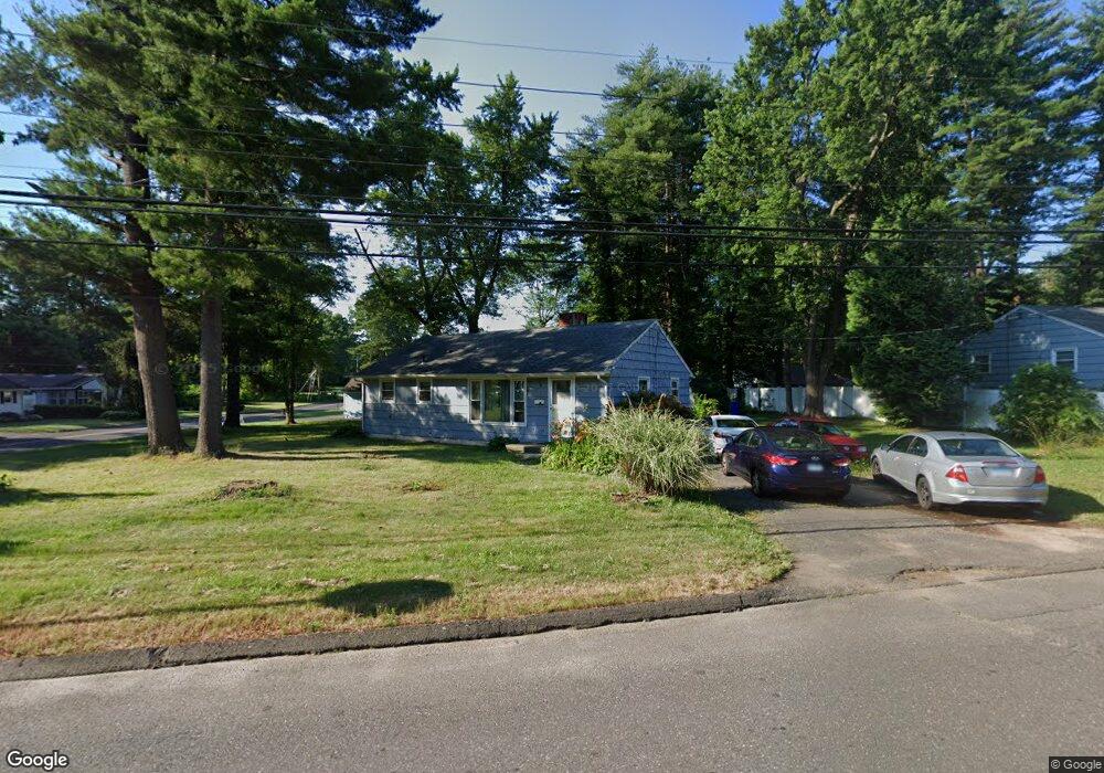
11 Daniel Blvd Bloomfield, CT 06002
Estimated Value: $208,000 - $257,763
3
Beds
1
Bath
984
Sq Ft
$235/Sq Ft
Est. Value
About This Home
This home is located at 11 Daniel Blvd, Bloomfield, CT 06002 and is currently estimated at $231,441, approximately $235 per square foot. 11 Daniel Blvd is a home located in Hartford County with nearby schools including Metacomet School, Carmen Arace Intermediate School, and Laurel School.
Ownership History
Date
Name
Owned For
Owner Type
Purchase Details
Closed on
Jul 19, 2004
Sold by
Trombley Jonathan
Bought by
Blue William
Current Estimated Value
Purchase Details
Closed on
Feb 18, 1993
Sold by
Rozie Peter
Bought by
Usa Va
Purchase Details
Closed on
Sep 11, 1990
Sold by
Doolittle Abby
Bought by
Rosie Peter
Create a Home Valuation Report for This Property
The Home Valuation Report is an in-depth analysis detailing your home's value as well as a comparison with similar homes in the area
Home Values in the Area
Average Home Value in this Area
Purchase History
| Date | Buyer | Sale Price | Title Company |
|---|---|---|---|
| Blue William | $125,610 | -- | |
| Blue William | $125,610 | -- | |
| Usa Va | $88,300 | -- | |
| Usa Va | $88,300 | -- | |
| Rosie Peter | $112,500 | -- |
Source: Public Records
Mortgage History
| Date | Status | Borrower | Loan Amount |
|---|---|---|---|
| Open | Rosie Peter | $139,513 | |
| Closed | Rosie Peter | $156,208 |
Source: Public Records
Tax History
| Year | Tax Paid | Tax Assessment Tax Assessment Total Assessment is a certain percentage of the fair market value that is determined by local assessors to be the total taxable value of land and additions on the property. | Land | Improvement |
|---|---|---|---|---|
| 2025 | $4,735 | $122,220 | $34,720 | $87,500 |
| 2024 | $3,285 | $80,920 | $30,870 | $50,050 |
| 2023 | $3,227 | $80,920 | $30,870 | $50,050 |
| 2022 | $2,996 | $80,920 | $30,870 | $50,050 |
| 2021 | $3,081 | $80,920 | $30,870 | $50,050 |
| 2020 | $3,035 | $80,920 | $30,870 | $50,050 |
| 2019 | $3,234 | $80,920 | $30,870 | $50,050 |
| 2018 | $2,490 | $62,230 | $30,870 | $31,360 |
| 2017 | $2,493 | $62,230 | $30,870 | $31,360 |
| 2016 | $2,436 | $62,230 | $30,870 | $31,360 |
| 2015 | $2,396 | $62,230 | $30,870 | $31,360 |
| 2014 | $3,270 | $87,570 | $43,750 | $43,820 |
Source: Public Records
Map
Nearby Homes
- 2 Sandra Dr
- 73 Abbey Ln
- 23 Farmstead Cir
- 1130 Blue Hills Ave
- 27 April Way
- 76 Lincoln Way
- 38 Sutton Place Unit 38
- 31 Sutton Place
- 2 Camelot Dr Unit 4
- 159 School St
- 256 Park Ave
- 13 Patton Rd
- 747 Blue Hills Ave
- 18 Darby St
- 110 Darby St
- 60 Nod Rd
- 97 E Burnham St
- 1211R Blue Hills Ave
- 1220 Blue Hills Ave
- 180 Brookline Ave
- 9 Daniel Blvd
- 30 Pine Grove Rd
- 16 Daniel Blvd
- 28 Pine Grove Rd
- 14 Daniel Blvd
- 13 Daniel Blvd
- 70 Packard St
- 7 Daniel Blvd
- 12 Daniel Blvd
- 18 Daniel Blvd
- 22 Daniel Blvd
- 68 Packard St
- 10 Daniel Blvd
- 31 Pine Grove Rd
- 20 Daniel Blvd
- 5 Daniel Blvd
- 29 Pine Grove Rd
- 15 Daniel Blvd
- 24 Pine Grove Rd
- 27 Pine Grove Rd
Your Personal Tour Guide
Ask me questions while you tour the home.