Estimated Value: $588,000 - $711,000
3
Beds
3
Baths
2,136
Sq Ft
$309/Sq Ft
Est. Value
About This Home
This home is located at 11 Days Ferry Rd, Gray, ME 04039 and is currently estimated at $659,494, approximately $308 per square foot. 11 Days Ferry Rd is a home located in Cumberland County with nearby schools including Gray-New Gloucester High School and Fiddlehead School of Arts & Science.
Ownership History
Date
Name
Owned For
Owner Type
Purchase Details
Closed on
May 16, 2011
Sold by
Wilson Sarah and Wilson Robert D
Bought by
Marston Sandra L
Current Estimated Value
Home Financials for this Owner
Home Financials are based on the most recent Mortgage that was taken out on this home.
Original Mortgage
$231,920
Outstanding Balance
$158,287
Interest Rate
4.88%
Mortgage Type
Purchase Money Mortgage
Estimated Equity
$501,207
Create a Home Valuation Report for This Property
The Home Valuation Report is an in-depth analysis detailing your home's value as well as a comparison with similar homes in the area
Home Values in the Area
Average Home Value in this Area
Purchase History
| Date | Buyer | Sale Price | Title Company |
|---|---|---|---|
| Marston Sandra L | -- | -- |
Source: Public Records
Mortgage History
| Date | Status | Borrower | Loan Amount |
|---|---|---|---|
| Open | Marston Sandra L | $231,920 |
Source: Public Records
Tax History
| Year | Tax Paid | Tax Assessment Tax Assessment Total Assessment is a certain percentage of the fair market value that is determined by local assessors to be the total taxable value of land and additions on the property. | Land | Improvement |
|---|---|---|---|---|
| 2025 | $5,809 | $600,100 | $140,200 | $459,900 |
| 2024 | $5,821 | $600,100 | $140,200 | $459,900 |
| 2023 | $5,342 | $351,900 | $58,600 | $293,300 |
| 2022 | $4,909 | $351,900 | $58,600 | $293,300 |
| 2021 | $4,650 | $318,300 | $58,600 | $259,700 |
| 2020 | $4,695 | $318,300 | $58,600 | $259,700 |
| 2019 | $4,695 | $318,300 | $58,600 | $259,700 |
| 2018 | $4,456 | $318,300 | $58,600 | $259,700 |
| 2017 | $4,191 | $232,200 | $50,200 | $182,000 |
| 2016 | $4,249 | $232,200 | $50,200 | $182,000 |
| 2015 | $4,177 | $229,500 | $50,200 | $179,300 |
| 2014 | $4,177 | $229,500 | $50,200 | $179,300 |
| 2012 | $3,637 | $229,480 | $50,200 | $179,280 |
Source: Public Records
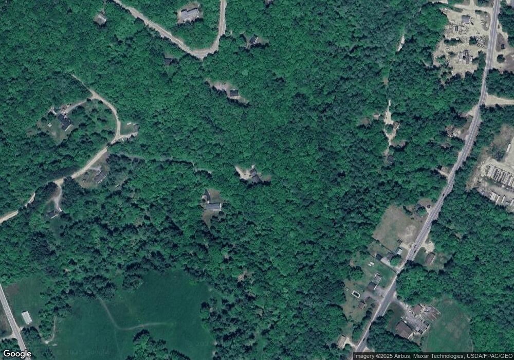
Map
Nearby Homes
- 86 Skips Way
- 270 Mayall Rd
- 3 First Mill Dr
- Lot 21-29 Weymouth Rd
- 0 Mayall
- 2 Ethan Way
- 65 Blueberry Ln
- TBD Targett Rd
- 110 Bennett Rd
- 224 Shaker Rd
- 42 Wild Acres Rd
- 27 Bull Run
- 17 Callaway Dr Unit 17
- 52 Colley Hill Rd
- 155 & 151 Gloucester Hill Rd
- 26 Hemlock Ln
- 0 Colley Hill Rd
- 4 Chelsey Ln
- 25 Yarmouth Rd
- 13 Yarmouth Rd
- 10 Days Ferry Rd
- 10 Day's Ferry Rd
- 101 Bluff Cir
- 18 Spring Ridge Rd
- 233 Lewiston Rd
- 2 Lewiston Rd
- 989B-2 Lewiston Rd
- 2 Lewiston Rd
- 105 Bluff Cir
- 43 Mccarthy Rd
- 231 Lewiston Rd
- 227 Lewiston Rd
- 81 Bluff Cir
- 00 Lewiston Road (Map 13 Lot 8)
- 12 Spring Ridge Rd
- 12 Lewiston Rd
- Lot 1 Off Lewiston Rd
- 10-1 Lewiston Rd
- 221 Lewiston Rd
- 221 Lewiston Rd
Your Personal Tour Guide
Ask me questions while you tour the home.