Estimated Value: $1,016,759 - $1,259,000
4
Beds
3
Baths
2,834
Sq Ft
$406/Sq Ft
Est. Value
About This Home
This home is located at 11 Deacon Hunt Dr, Acton, MA 01720 and is currently estimated at $1,151,690, approximately $406 per square foot. 11 Deacon Hunt Dr is a home located in Middlesex County with nearby schools including Acton-Boxborough Regional High School, Maynard Knowledge Beginnings, and The Imago School.
Ownership History
Date
Name
Owned For
Owner Type
Purchase Details
Closed on
Mar 19, 2021
Sold by
C O Paradise 2007 Ret
Bought by
Paradise Ft
Current Estimated Value
Purchase Details
Closed on
Dec 9, 2008
Sold by
Paradise Chester O and Paradise Mary Lou
Bought by
Chester O Paradise Ret and Paradise Chester O
Create a Home Valuation Report for This Property
The Home Valuation Report is an in-depth analysis detailing your home's value as well as a comparison with similar homes in the area
Home Values in the Area
Average Home Value in this Area
Purchase History
| Date | Buyer | Sale Price | Title Company |
|---|---|---|---|
| Paradise Ft | -- | None Available | |
| Chester O Paradise Ret | -- | -- |
Source: Public Records
Tax History
| Year | Tax Paid | Tax Assessment Tax Assessment Total Assessment is a certain percentage of the fair market value that is determined by local assessors to be the total taxable value of land and additions on the property. | Land | Improvement |
|---|---|---|---|---|
| 2025 | $15,243 | $888,800 | $371,100 | $517,700 |
| 2024 | $14,265 | $855,700 | $371,100 | $484,600 |
| 2023 | $13,899 | $791,500 | $337,300 | $454,200 |
| 2022 | $13,154 | $676,300 | $293,200 | $383,100 |
| 2021 | $13,067 | $645,900 | $271,400 | $374,500 |
| 2020 | $12,327 | $640,700 | $271,400 | $369,300 |
| 2019 | $11,889 | $613,800 | $271,400 | $342,400 |
| 2018 | $11,686 | $603,000 | $271,400 | $331,600 |
| 2017 | $11,390 | $597,600 | $271,400 | $326,200 |
| 2016 | $11,180 | $581,400 | $271,400 | $310,000 |
| 2015 | $11,036 | $579,300 | $271,400 | $307,900 |
| 2014 | $10,684 | $549,300 | $271,400 | $277,900 |
Source: Public Records
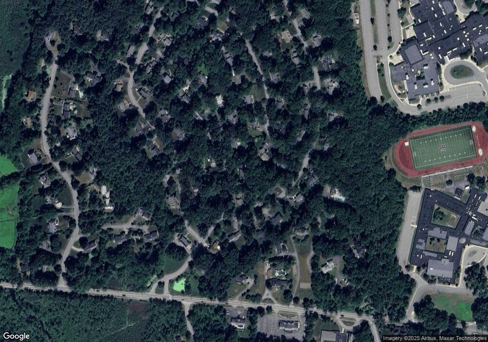
Map
Nearby Homes
- 20 Joseph Reed Ln
- 235 Arlington St
- 246 Main St Unit 2
- 79 Charter Rd
- 5 Perkins Ln
- 7 Kelley Rd
- 18 Hayward Rd
- 184 Main St Unit 3
- 92 Willow St Unit 3
- 92 Willow St Unit 2
- 90 Willow St Unit 1
- 11 Braebrook
- 25 Nylander Way
- 129 Main St Unit 129
- 131 Main St
- 4 Littlefield Rd
- 46 Taylor Rd
- 60 Nashoba Rd
- 70 River St
- 40 High St
- 13 Deacon Hunt Dr
- 9 Deacon Hunt Dr
- 4 Captain Forbush Ln
- 6 Captain Browns Ln
- 12 Deacon Hunt Dr
- 4 Captain Browns Ln
- 10 Deacon Hunt Dr
- 2 Captain Forbush Ln
- 6 Captain Forbush Ln
- 14 Deacon Hunt Dr
- 3 Joseph Reed Ln
- 15 Deacon Hunt Dr
- 5 Joseph Reed Ln
- 3 Captain Forbush Ln
- 5 Captain Browns Ln
- 7 Captain Browns Ln
- 8 Deacon Hunt Dr
- 3 Captain Browns Ln
- 10 Captain Browns Ln
- 16 Deacon Hunt Dr
Your Personal Tour Guide
Ask me questions while you tour the home.