Estimated Value: $282,770 - $442,000
4
Beds
2
Baths
420
Sq Ft
$899/Sq Ft
Est. Value
About This Home
This home is located at 11 Decorum Rd, Surry, ME 04684 and is currently estimated at $377,693, approximately $899 per square foot. 11 Decorum Rd is a home with nearby schools including Surry Elementary School.
Create a Home Valuation Report for This Property
The Home Valuation Report is an in-depth analysis detailing your home's value as well as a comparison with similar homes in the area
Tax History
| Year | Tax Paid | Tax Assessment Tax Assessment Total Assessment is a certain percentage of the fair market value that is determined by local assessors to be the total taxable value of land and additions on the property. | Land | Improvement |
|---|---|---|---|---|
| 2024 | $2,344 | $222,800 | $67,500 | $155,300 |
| 2023 | $2,016 | $222,800 | $67,500 | $155,300 |
| 2022 | $1,814 | $222,800 | $67,500 | $155,300 |
| 2021 | $1,655 | $163,500 | $40,400 | $123,100 |
| 2020 | $1,530 | $163,500 | $40,400 | $123,100 |
| 2019 | $1,463 | $163,500 | $40,400 | $123,100 |
| 2018 | $2,382 | $163,500 | $40,400 | $123,100 |
| 2017 | $1,416 | $163,700 | $40,600 | $123,100 |
| 2016 | $1,400 | $163,700 | $40,600 | $123,100 |
| 2015 | $1,193 | $164,500 | $40,600 | $123,900 |
| 2014 | $1,217 | $164,500 | $40,600 | $123,900 |
| 2013 | -- | $164,500 | $40,600 | $123,900 |
Source: Public Records
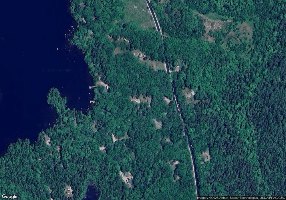
Map
Nearby Homes
- MAP19LOT28 Leach Rd
- lot 21-10 Toddy Dr
- Lot #15 Toddy Pond Rd
- 9 Meadow Brook Ln
- 348 Back Ridge Rd
- 701 N Penobscot Rd
- 590 Range Rd Unit 2
- 00 Front Ridge Rd
- MAP31LOT29 Land-Perkins
- M13, L36 Harland Cunningham Rd
- Lot 37 Wedge Heights
- 130 Hartview Cir
- 0 map 7/1 Ebens Trail
- 0 map 7/2 Ebens Trail
- 18-B Back Pasture Ln
- M035L11-14 Lord Ave
- M4L15&16 Acadia Hwy
- MAP4LOT17 Acadia Hwy
- Lot 48-2-8 Mayflower Way
- Lot 1-7 Manhattan Way
Your Personal Tour Guide
Ask me questions while you tour the home.