Estimated Value: $216,018 - $239,000
--
Bed
--
Bath
1,377
Sq Ft
$164/Sq Ft
Est. Value
About This Home
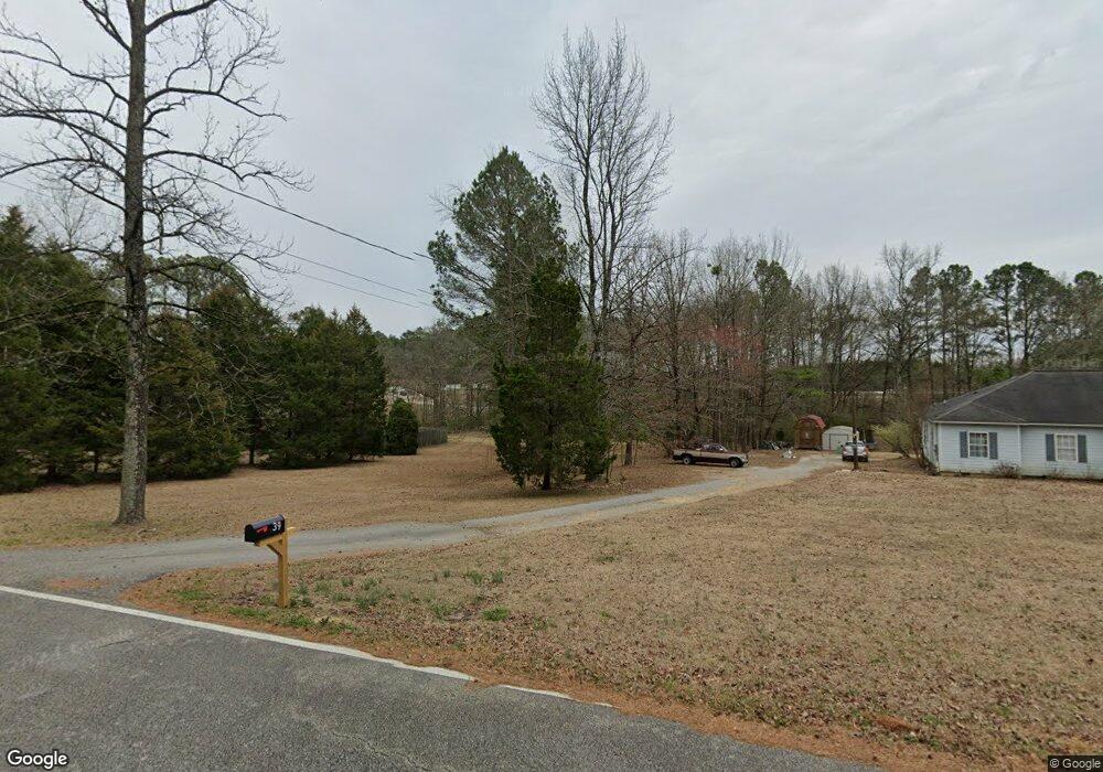
This home is located at 11 Deer Creek Trail SW, Rome, GA 30165 and is currently estimated at $225,755, approximately $163 per square foot. 11 Deer Creek Trail SW is a home located in Floyd County with nearby schools including Coosa Middle School and Coosa High School.
Ownership History
Date
Name
Owned For
Owner Type
Purchase Details
Closed on
May 31, 1995
Bought by
P and R
Current Estimated Value
Purchase Details
Closed on
Feb 10, 1975
Sold by
Summerford Roark and Summerford Judy
Bought by
Chapman Robert J and Chapman Susan Y
Purchase Details
Closed on
Feb 27, 1973
Sold by
Martin Martin C and Martin Valarge
Bought by
Summerford Roark and Summerford Judy
Purchase Details
Closed on
Aug 13, 1971
Sold by
Momon Carl G
Bought by
Martin Martin C and Martin Valarge
Purchase Details
Closed on
Jul 25, 1966
Sold by
Raffield Pearly L
Bought by
Momon Carl G
Purchase Details
Closed on
Nov 16, 1964
Bought by
Raffield Pearly L
Create a Home Valuation Report for This Property
The Home Valuation Report is an in-depth analysis detailing your home's value as well as a comparison with similar homes in the area
Home Values in the Area
Average Home Value in this Area
Purchase History
| Date | Buyer | Sale Price | Title Company |
|---|---|---|---|
| P | -- | -- | |
| Chapman Robert J | $34,000 | -- | |
| Summerford Roark | $27,900 | -- | |
| Martin Martin C | $22,500 | -- | |
| Momon Carl G | $1,800 | -- | |
| Raffield Pearly L | -- | -- |
Source: Public Records
Tax History Compared to Growth
Tax History
| Year | Tax Paid | Tax Assessment Tax Assessment Total Assessment is a certain percentage of the fair market value that is determined by local assessors to be the total taxable value of land and additions on the property. | Land | Improvement |
|---|---|---|---|---|
| 2024 | $975 | $74,062 | $16,474 | $57,588 |
| 2023 | $896 | $70,466 | $14,976 | $55,490 |
| 2022 | $652 | $55,135 | $12,386 | $42,749 |
| 2021 | $574 | $47,713 | $11,270 | $36,443 |
| 2020 | $561 | $45,190 | $9,800 | $35,390 |
| 2019 | $549 | $40,142 | $9,800 | $30,342 |
| 2018 | $543 | $38,644 | $9,334 | $29,310 |
| 2017 | $534 | $37,496 | $8,642 | $28,854 |
| 2016 | $541 | $37,344 | $8,640 | $28,704 |
| 2015 | $1,003 | $37,344 | $8,640 | $28,704 |
| 2014 | $1,003 | $37,344 | $8,640 | $28,704 |
Source: Public Records
Map
Nearby Homes
- 5 Red Fox Dr SW
- 4813 Alabama Hwy SW
- 775 Mays Bridge Rd SW
- 4485 Alabama Hwy
- 26 Red Fox Dr SW
- 8 Kayla Dr NW
- 1 Ann Dr NW
- 10 Nest Dr NW
- 43 Brownlow Dr NW
- 48 Atwood Dr NW
- 0 Alabama Hwy Unit 10590171
- 0 Alabama Hwy Unit 7635346
- 0 Alabama Hwy Unit 7494552
- 458 Kraftsman Rd SW
- 33 Cedar Ln NW
- 31 Cedar Ln NW
- 293 N Avery Rd NW
- 86 N Avery Rd NW
- 45 Albert Ave NW
- 87 Northside Dr NW
- 0 Deer Creek Trail SW
- 39 Deer Creek Trail SW
- 65 Deer Creek Trail SW
- 65 Deer Creek Trail SW
- 214 Oreburg Rd SW
- 223 Oreburg Rd SW
- 369 Turner Bend Rd SW
- 5 Deer Creek Trail SW
- 177 Oreburg Rd SW
- 174 Oreburg Rd SW
- 490 Turner Bend Rd SW
- 285 Turner Bend Rd SW
- 511 Turner Bend Rd SW
- 476 Turner Bend Rd SW
- 310 Turner Bend Rd SW
- 148 Oreburg Rd SW
- 286 Turner Bend Rd SW
- 262 Turner Bend Rd SW
- 536 Turner Bend Rd SW
- 564 Turner Bend Rd SW