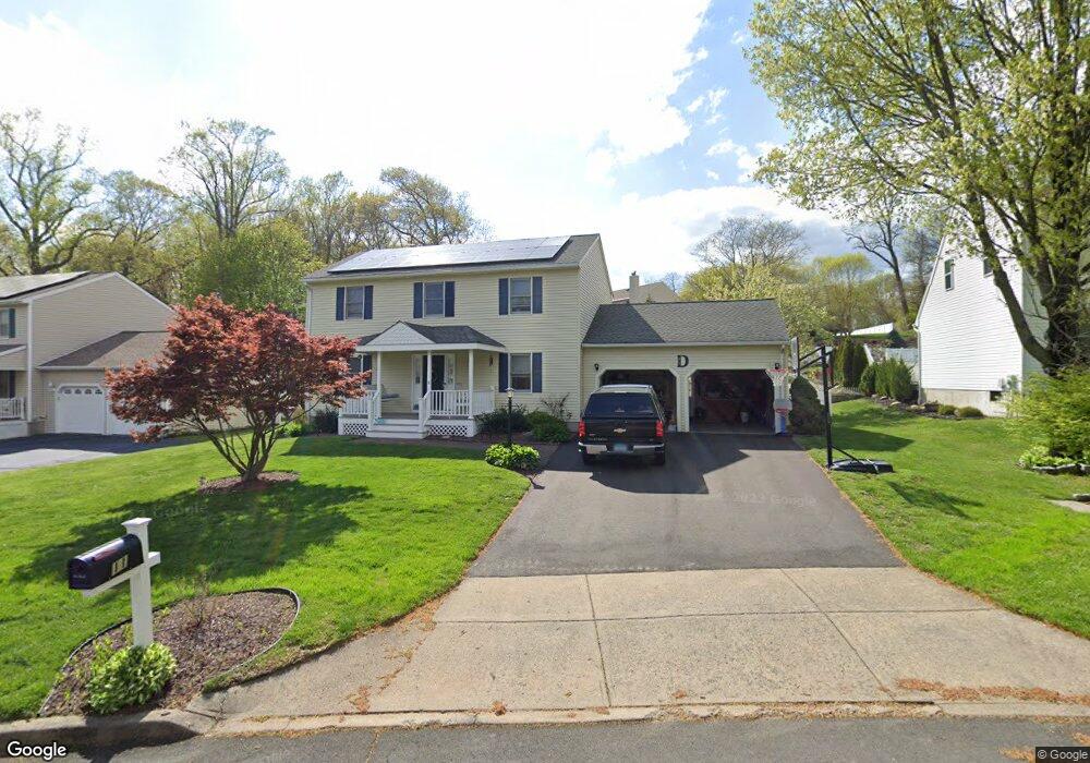
11 Deer Run Trail Milford, CT 06461
Parkway/Wheelers Farm Road NeighborhoodEstimated Value: $637,014 - $732,000
3
Beds
3
Baths
1,728
Sq Ft
$396/Sq Ft
Est. Value
About This Home
This home is located at 11 Deer Run Trail, Milford, CT 06461 and is currently estimated at $684,504, approximately $396 per square foot. 11 Deer Run Trail is a home located in New Haven County with nearby schools including Mathewson School, West Shore Middle School, and Jonathan Law High School.
Ownership History
Date
Name
Owned For
Owner Type
Purchase Details
Closed on
Jun 11, 2018
Sold by
Amenda Bogdan J and Amenda Mary
Bought by
Dias Jennifer and Dias Michael
Current Estimated Value
Home Financials for this Owner
Home Financials are based on the most recent Mortgage that was taken out on this home.
Original Mortgage
$324,000
Outstanding Balance
$280,206
Interest Rate
4.5%
Mortgage Type
Unknown
Estimated Equity
$404,298
Purchase Details
Closed on
Sep 30, 1992
Sold by
Agro Joseph M and Agro Joseph M
Bought by
Amenda Bogdan J and Amenda Mary
Home Financials for this Owner
Home Financials are based on the most recent Mortgage that was taken out on this home.
Original Mortgage
$88,500
Interest Rate
7.83%
Mortgage Type
Unknown
Create a Home Valuation Report for This Property
The Home Valuation Report is an in-depth analysis detailing your home's value as well as a comparison with similar homes in the area
Home Values in the Area
Average Home Value in this Area
Purchase History
| Date | Buyer | Sale Price | Title Company |
|---|---|---|---|
| Dias Jennifer | $405,000 | -- | |
| Dias Jennifer | $405,000 | -- | |
| Amenda Bogdan J | $196,910 | -- | |
| Amenda Bogdan J | $196,910 | -- |
Source: Public Records
Mortgage History
| Date | Status | Borrower | Loan Amount |
|---|---|---|---|
| Open | Dias Jennifer | $324,000 | |
| Closed | Dias Jennifer | $324,000 | |
| Previous Owner | Amenda Bogdan J | $60,000 | |
| Previous Owner | Amenda Bogdan J | $88,500 |
Source: Public Records
Tax History Compared to Growth
Tax History
| Year | Tax Paid | Tax Assessment Tax Assessment Total Assessment is a certain percentage of the fair market value that is determined by local assessors to be the total taxable value of land and additions on the property. | Land | Improvement |
|---|---|---|---|---|
| 2025 | $8,424 | $285,070 | $111,970 | $173,100 |
| 2024 | $8,307 | $285,070 | $111,970 | $173,100 |
| 2023 | $7,745 | $285,070 | $111,970 | $173,100 |
| 2022 | $7,597 | $285,070 | $111,970 | $173,100 |
| 2021 | $6,730 | $243,410 | $88,200 | $155,210 |
| 2020 | $6,738 | $243,410 | $88,200 | $155,210 |
| 2019 | $6,745 | $243,410 | $88,200 | $155,210 |
| 2018 | $6,752 | $243,410 | $88,200 | $155,210 |
| 2017 | $6,764 | $243,410 | $88,200 | $155,210 |
| 2016 | $6,640 | $238,510 | $84,670 | $153,840 |
| 2015 | $6,650 | $238,510 | $84,670 | $153,840 |
| 2014 | $6,492 | $238,510 | $84,670 | $153,840 |
Source: Public Records
Map
Nearby Homes
- 1299 Naugatuck Ave
- 29 Benjamin Heights Dr
- 333 West Ave Unit 13
- 0 Caswell Cove Unit B-8
- 116 Cornfield Rd
- 43 Innsbruck St
- 184 West Ave
- 18 Greenview Ln
- 10 Lucius Ct Unit 10
- 49 Finch St
- 0 Thornton St
- 663 West Ave Unit A21
- 23 Utica St
- 88 Boston Post Rd
- 66 Kent St
- 450 River Rd
- 5060 Main St
- 50 Washington St
- 40 Washington St
- 46 Lucille Dr
- 3 Deer Run Trail
- 15 Deer Run Trail
- 71 Narrow Ln
- 10 Deer Run Trail
- 25 Deer Run Trail
- 75 Narrow Ln
- 105 Benjamin Heights Dr
- 31 Narrow Ln
- 14 Deer Run Trail
- 27 Deer Run Trail
- 80 Narrow Ln
- 85 Narrow Ln
- 100 Benjamin Heights Dr
- 133 Harvest Ln
- 22 Deer Run Trail
- 26 Deer Run Trail
- 137 Harvest Ln
- 23 Narrow Ln
- 95 Benjamin Heights Dr
- 28 Narrow Ln