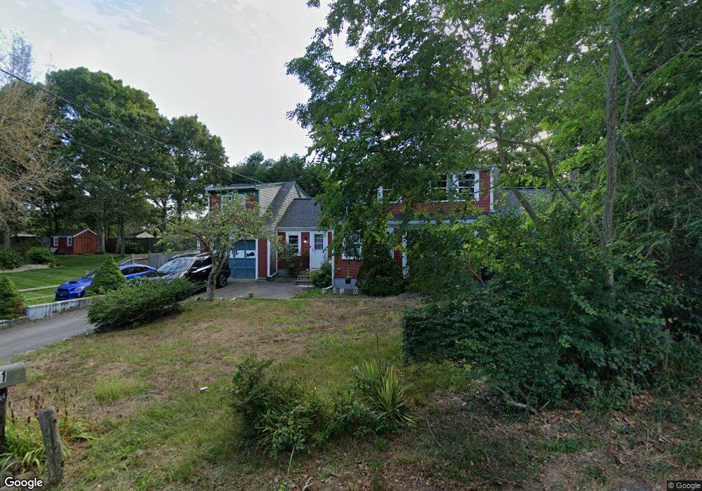
11 Depot Rd Dennis Port, MA 02639
Dennis Port NeighborhoodEstimated Value: $607,000 - $797,757
--
Bed
1
Bath
--
Sq Ft
0.25
Acres
About This Home
This home is located at 11 Depot Rd, Dennis Port, MA 02639 and is currently estimated at $695,689. 11 Depot Rd is a home located in Barnstable County with nearby schools including Dennis-Yarmouth Regional High School and St. Pius X. School.
Ownership History
Date
Name
Owned For
Owner Type
Purchase Details
Closed on
May 13, 2024
Sold by
Greene Debra A
Bought by
Debra A Greene 2024 Lt and Greene
Current Estimated Value
Purchase Details
Closed on
Oct 15, 1999
Sold by
Lerner Laurence B and Lerner Sheryl A
Bought by
Greene Debra A
Create a Home Valuation Report for This Property
The Home Valuation Report is an in-depth analysis detailing your home's value as well as a comparison with similar homes in the area
Home Values in the Area
Average Home Value in this Area
Purchase History
| Date | Buyer | Sale Price | Title Company |
|---|---|---|---|
| Debra A Greene 2024 Lt | -- | None Available | |
| Debra A Greene 2024 Lt | -- | None Available | |
| Greene Debra A | $130,000 | -- | |
| Greene Debra A | $130,000 | -- |
Source: Public Records
Mortgage History
| Date | Status | Borrower | Loan Amount |
|---|---|---|---|
| Previous Owner | Greene Debra A | $224,000 | |
| Previous Owner | Greene Debra A | $225,000 | |
| Previous Owner | Greene Debra A | $226,000 |
Source: Public Records
Tax History Compared to Growth
Tax History
| Year | Tax Paid | Tax Assessment Tax Assessment Total Assessment is a certain percentage of the fair market value that is determined by local assessors to be the total taxable value of land and additions on the property. | Land | Improvement |
|---|---|---|---|---|
| 2025 | $2,786 | $643,500 | $131,200 | $512,300 |
| 2024 | $2,709 | $617,100 | $133,600 | $483,500 |
| 2023 | $2,584 | $553,400 | $121,500 | $431,900 |
| 2022 | $2,452 | $437,900 | $121,600 | $316,300 |
| 2021 | $2,152 | $356,800 | $107,300 | $249,500 |
| 2020 | $2,044 | $335,100 | $107,300 | $227,800 |
| 2019 | $1,923 | $311,700 | $105,200 | $206,500 |
| 2018 | $1,915 | $302,100 | $100,100 | $202,000 |
| 2017 | $1,867 | $303,500 | $100,100 | $203,400 |
| 2016 | $1,845 | $282,500 | $111,200 | $171,300 |
| 2015 | $1,808 | $282,500 | $111,200 | $171,300 |
| 2014 | $1,581 | $249,000 | $89,000 | $160,000 |
Source: Public Records
Map
Nearby Homes
- 11 Lane Rd
- 537 Depot St
- 91 Depot Rd W
- 24 Indian Trail
- 78 Upper County Rd Unit A&B
- 78 Upper County Rd
- 141 Division St
- 141 Division St
- 47 Telegraph Rd Unit 1
- 9 Country Ln
- 360 Center St
- 171 Searsville Rd
- 116 Searsville Rd
- 9 Bells Neck Rd Unit 10
- 20 Aunt Debbys Rd
- 12 Candlewood Ln Unit 2-9
- 10 Candlewood Ln Unit 2-1
- 45 Route 28
- 64 Smith St
- 9 Mansion St