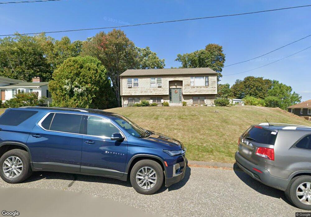
11 Downing Ave Holyoke, MA 01040
Estimated Value: $337,000 - $381,000
3
Beds
1
Bath
1,722
Sq Ft
$204/Sq Ft
Est. Value
About This Home
This home is located at 11 Downing Ave, Holyoke, MA 01040 and is currently estimated at $351,089, approximately $203 per square foot. 11 Downing Ave is a home located in Hampden County with nearby schools including Lt. Elmer J. McMahon Elementary School, Holyoke High School, and Blessed Sacrament School.
Ownership History
Date
Name
Owned For
Owner Type
Purchase Details
Closed on
Aug 18, 1989
Sold by
Baush Thomas E
Bought by
Baush Marianne S
Current Estimated Value
Home Financials for this Owner
Home Financials are based on the most recent Mortgage that was taken out on this home.
Original Mortgage
$85,000
Interest Rate
9.93%
Create a Home Valuation Report for This Property
The Home Valuation Report is an in-depth analysis detailing your home's value as well as a comparison with similar homes in the area
Home Values in the Area
Average Home Value in this Area
Purchase History
| Date | Buyer | Sale Price | Title Company |
|---|---|---|---|
| Baush Marianne S | $20,000 | -- | |
| Baush Marianne S | $20,000 | -- |
Source: Public Records
Mortgage History
| Date | Status | Borrower | Loan Amount |
|---|---|---|---|
| Open | Baush Marianne S | $80,000 | |
| Closed | Baush Marianne S | $85,000 |
Source: Public Records
Tax History Compared to Growth
Tax History
| Year | Tax Paid | Tax Assessment Tax Assessment Total Assessment is a certain percentage of the fair market value that is determined by local assessors to be the total taxable value of land and additions on the property. | Land | Improvement |
|---|---|---|---|---|
| 2025 | $5,503 | $315,200 | $72,400 | $242,800 |
| 2024 | $5,272 | $278,200 | $69,000 | $209,200 |
| 2023 | $5,048 | $269,100 | $69,000 | $200,100 |
| 2022 | $4,865 | $252,600 | $69,000 | $183,600 |
| 2021 | $4,675 | $242,600 | $66,400 | $176,200 |
| 2020 | $4,438 | $232,600 | $66,400 | $166,200 |
| 2019 | $4,292 | $222,500 | $66,400 | $156,100 |
| 2018 | $4,101 | $214,400 | $66,400 | $148,000 |
| 2017 | $4,110 | $214,400 | $66,400 | $148,000 |
| 2016 | $4,063 | $212,500 | $68,300 | $144,200 |
| 2015 | $4,046 | $212,500 | $68,300 | $144,200 |
Source: Public Records
Map
Nearby Homes
- 128 Ontario Ave
- 155 Huron Ave
- 43 King St
- 70-72 Westfield Rd
- 78 Hitchcock St
- 244 Ontario Ave
- 46 Cherry Hill
- 286 Westfield Rd
- 34 Maple Crest Cir Unit D
- 16 Maple Crest Cir Unit B
- 15 Maple Crest Cir Unit D
- 33 Maple Crest Cir Unit D
- 9-11 Oakwood Ave
- 85 Woodland St
- 84 Woodland St
- 25 W Glen St
- 1793 Northampton St
- 7 Vermont St
- 56 Laurel St
- 44 Laurel St
- 27 Downing Ave
- 130 W King St
- 120 W King St
- 35 Downing Ave
- 139 Huron Ave
- 150 W King St
- 43 Downing Ave
- 121 W King St
- 141 W King St
- 136 Ontario Ave
- 160 W King St
- 147 Huron Ave
- 151 W King St
- 131 Ontario Ave
- 142 Ontario Ave
- 134 Sky View Terrace
- 170 W King St
- 47 Downing Ave
- 167 W King St
- 154 Sky View Terrace