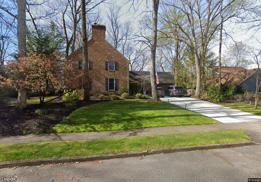
11 Dunbarton Rd Cherry Hill, NJ 08003
Estimated Value: $657,314 - $835,000
Studio
--
Bath
2,436
Sq Ft
$305/Sq Ft
Est. Value
About This Home
This home is located at 11 Dunbarton Rd, Cherry Hill, NJ 08003 and is currently estimated at $743,829, approximately $305 per square foot. 11 Dunbarton Rd is a home located in Camden County with nearby schools including Richard Stockton Elementary School, Henry C. Beck Middle School, and Cherry Hill High-East High School.
Ownership History
Date
Name
Owned For
Owner Type
Purchase Details
Closed on
Nov 4, 2005
Sold by
Anzalone Robert P
Bought by
Addis Randall F and Addis Amy L
Current Estimated Value
Home Financials for this Owner
Home Financials are based on the most recent Mortgage that was taken out on this home.
Original Mortgage
$315,000
Interest Rate
6.28%
Create a Home Valuation Report for This Property
The Home Valuation Report is an in-depth analysis detailing your home's value as well as a comparison with similar homes in the area
Home Values in the Area
Average Home Value in this Area
Purchase History
| Date | Buyer | Sale Price | Title Company |
|---|---|---|---|
| Addis Randall F | $450,000 | -- |
Source: Public Records
Mortgage History
| Date | Status | Borrower | Loan Amount |
|---|---|---|---|
| Previous Owner | Addis Randall F | $315,000 |
Source: Public Records
Tax History
| Year | Tax Paid | Tax Assessment Tax Assessment Total Assessment is a certain percentage of the fair market value that is determined by local assessors to be the total taxable value of land and additions on the property. | Land | Improvement |
|---|---|---|---|---|
| 2025 | $13,408 | $300,700 | $77,400 | $223,300 |
| 2024 | $12,635 | $300,700 | $77,400 | $223,300 |
Source: Public Records
Map
Nearby Homes
- 1037 Society Hill Blvd
- 1003 Society Hill Blvd
- 701 Society Hill Blvd Unit A
- 11 Strathmore Dr
- 2 Collage Ct
- 7 Cameo Ct
- 7 Lisa Ln
- 1918 Graydon Ave
- 1121 Winding Dr
- 206 Mimosa Dr
- 8 Elbow Ln
- 25 Champlain Rd
- 24 Westbury Dr
- 6 Wheelwright Ln
- 18 Karen Dr
- 33 N Green Acre Dr
- 28 Forest Hill Dr
- 17 Valley Forge Ct
- 38 Doncaster Rd
- 224 Teal Ln
- 9 Dunbarton Rd
- 13 Dunbarton Rd
- 7 Dunbarton Rd
- 8 Dunbarton Rd
- 15 Dunbarton Rd
- 10 Dunbarton Rd
- 6 Dunbarton Rd
- 12 Dunbarton Rd
- 17 Dunbarton Rd
- 5 Dunbarton Rd
- 14 Lavenham Ct
- 14 Dunbarton Rd
- 12 Lavenham Ct
- 16 Lavenham Ct
- 4 Dunbarton Rd
- 3 Dunbarton Rd
- 19 Dunbarton Rd
- 202 Wexford Dr
- 10 Lavenham Ct
- 108 Lavenham Rd
Your Personal Tour Guide
Ask me questions while you tour the home.