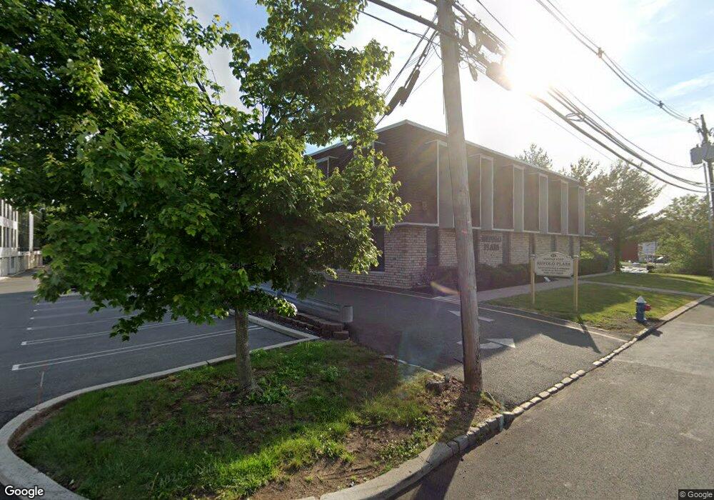
11 Dundar Rd Springfield, NJ 07081
Estimated Value: $1,923,413
--
Bed
--
Bath
14,000
Sq Ft
$137/Sq Ft
Est. Value
About This Home
This home is located at 11 Dundar Rd, Springfield, NJ 07081 and is currently estimated at $1,923,413, approximately $137 per square foot. 11 Dundar Rd is a home located in Union County with nearby schools including Jonathan Dayton High School and St James The Apostle School.
Ownership History
Date
Name
Owned For
Owner Type
Purchase Details
Closed on
Sep 12, 2024
Sold by
Rufolo Property Management At Dundar Llc
Bought by
Lvnc Holdings Llc
Current Estimated Value
Home Financials for this Owner
Home Financials are based on the most recent Mortgage that was taken out on this home.
Original Mortgage
$1,350,000
Outstanding Balance
$1,334,882
Interest Rate
6.49%
Mortgage Type
New Conventional
Estimated Equity
$588,531
Purchase Details
Closed on
Dec 27, 1996
Sold by
Fidelity Bankers Life Insurance Co Trust
Bought by
Rufolo Property Management At Dunbar Llc
Home Financials for this Owner
Home Financials are based on the most recent Mortgage that was taken out on this home.
Original Mortgage
$250,000
Interest Rate
7.55%
Mortgage Type
Commercial
Create a Home Valuation Report for This Property
The Home Valuation Report is an in-depth analysis detailing your home's value as well as a comparison with similar homes in the area
Home Values in the Area
Average Home Value in this Area
Purchase History
| Date | Buyer | Sale Price | Title Company |
|---|---|---|---|
| Lvnc Holdings Llc | $1,800,000 | Liberty Abstract | |
| Rufolo Property Management At Dunbar Llc | $410,000 | -- |
Source: Public Records
Mortgage History
| Date | Status | Borrower | Loan Amount |
|---|---|---|---|
| Open | Lvnc Holdings Llc | $1,350,000 | |
| Previous Owner | Rufolo Property Management At Dunbar Llc | $250,000 |
Source: Public Records
Tax History Compared to Growth
Tax History
| Year | Tax Paid | Tax Assessment Tax Assessment Total Assessment is a certain percentage of the fair market value that is determined by local assessors to be the total taxable value of land and additions on the property. | Land | Improvement |
|---|---|---|---|---|
| 2025 | $54,096 | $2,240,000 | $1,120,000 | $1,120,000 |
| 2024 | $53,222 | $2,240,000 | $1,120,000 | $1,120,000 |
| 2023 | $53,222 | $2,240,000 | $1,120,000 | $1,120,000 |
| 2022 | $49,482 | $2,240,000 | $1,120,000 | $1,120,000 |
| 2021 | $42,420 | $560,000 | $145,200 | $414,800 |
| 2020 | $41,042 | $560,000 | $145,200 | $414,800 |
| 2019 | $40,488 | $560,000 | $145,200 | $414,800 |
| 2018 | $39,760 | $560,000 | $145,200 | $414,800 |
| 2017 | $38,668 | $560,000 | $145,200 | $414,800 |
| 2016 | $37,918 | $560,000 | $145,200 | $414,800 |
| 2015 | $37,475 | $560,000 | $145,200 | $414,800 |
| 2014 | $36,770 | $560,000 | $145,200 | $414,800 |
Source: Public Records
Map
Nearby Homes
- 3211 Park Place
- 403 Park Place
- 28 S Derby Rd
- 874 Mountain Ave
- 1806 Park Place
- 12 Edgewood Ave
- 108 Briar Hills Cir
- 701 Mountain Ave
- 26 Benjamin Dr
- 121 Edgewood Ave
- 387 Hillside Ave
- 3 Madden Ct
- 11 Sherwood Rd
- 18 Evergreen Ave
- 58 Sandra Cir Unit B-3
- 423 Summit Rd
- 296 Northview Terrace
- 41 C Sandra Cir Unit C3
- 126 Fieldstone Dr
- 504 Meisel Ave
- 958 S Springfield Ave
- C111 Park Place
- C302 Park Place
- 955 So Springfield Ave Unit 407
- 1503 Park Place
- 101 Park Place
- 998 Springfield Ave
- 1000 Springfield Ave
- 153 Rosewood Ave Unit 153
- 106 Park Place
- 105 Park Place
- 104 Park Place
- 103 Park Place
- 90 Rosewood Ave Unit 29
- 55 Rosewood Ave Unit 29
- 102 Park Place
- 102 Park Place Unit 102
- 206 Park Place
- 205 Park Place
- 204 Park Place