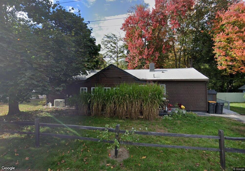
11 Dunstan Ave Scarborough, ME 04074
Estimated Value: $389,287 - $766,000
4
Beds
2
Baths
1,178
Sq Ft
$522/Sq Ft
Est. Value
About This Home
This home is located at 11 Dunstan Ave, Scarborough, ME 04074 and is currently estimated at $615,322, approximately $522 per square foot. 11 Dunstan Ave is a home with nearby schools including Scarborough High School and Cornerstone Baptist Academy.
Ownership History
Date
Name
Owned For
Owner Type
Purchase Details
Closed on
Sep 24, 2024
Sold by
Powers Joshua M and Silva Fox C
Bought by
Powers Joshua M
Current Estimated Value
Purchase Details
Closed on
Sep 30, 2021
Sold by
Dubay Ronald V
Bought by
Powers Joshua M and Silva Fox C
Home Financials for this Owner
Home Financials are based on the most recent Mortgage that was taken out on this home.
Original Mortgage
$216,015
Interest Rate
2.8%
Mortgage Type
FHA
Create a Home Valuation Report for This Property
The Home Valuation Report is an in-depth analysis detailing your home's value as well as a comparison with similar homes in the area
Home Values in the Area
Average Home Value in this Area
Purchase History
| Date | Buyer | Sale Price | Title Company |
|---|---|---|---|
| Powers Joshua M | -- | Misc Company | |
| Powers Joshua M | -- | Misc Company | |
| Powers Joshua M | -- | None Available | |
| Powers Joshua M | -- | None Available |
Source: Public Records
Mortgage History
| Date | Status | Borrower | Loan Amount |
|---|---|---|---|
| Previous Owner | Powers Joshua M | $216,015 |
Source: Public Records
Tax History Compared to Growth
Tax History
| Year | Tax Paid | Tax Assessment Tax Assessment Total Assessment is a certain percentage of the fair market value that is determined by local assessors to be the total taxable value of land and additions on the property. | Land | Improvement |
|---|---|---|---|---|
| 2025 | $3,636 | $320,900 | $136,800 | $184,100 |
| 2024 | $3,507 | $320,900 | $136,800 | $184,100 |
| 2023 | $3,531 | $221,100 | $97,300 | $123,800 |
| 2022 | $3,403 | $221,100 | $97,300 | $123,800 |
| 2021 | $2,610 | $198,800 | $97,300 | $101,500 |
| 2020 | $2,954 | $198,800 | $97,300 | $101,500 |
| 2019 | $6,584 | $198,800 | $97,300 | $101,500 |
| 2017 | $2,221 | $134,700 | $81,400 | $53,300 |
| 2016 | $2,144 | $134,700 | $81,400 | $53,300 |
| 2015 | $2,087 | $134,700 | $81,400 | $53,300 |
| 2014 | $1,883 | $134,700 | $81,400 | $53,300 |
| 2013 | -- | $134,700 | $81,400 | $53,300 |
Source: Public Records
Map
Nearby Homes
- 626 Us Route 1
- 25 Broadturn Rd
- 19 Paulsen Dr
- 9 Paulsen Dr
- 31 Old Blue Point Rd
- 72 Stewart Dr
- Lot 5 Jean's Way
- 29 Mccann Way Unit 29
- 192 Stewart Dr
- 149 Stewart Dr
- 153 Stewart Dr
- 155 Stewart Dr
- 159 Stewart Dr
- 6 Rose Hill Way
- 91 B Broadturn Rd
- 96C Broadturn Rd
- 79 Creeks Edge Dr
- 81 Creeks Edge Dr
- 77 Creeks Edge Dr
- 994 Portland Rd Unit 14