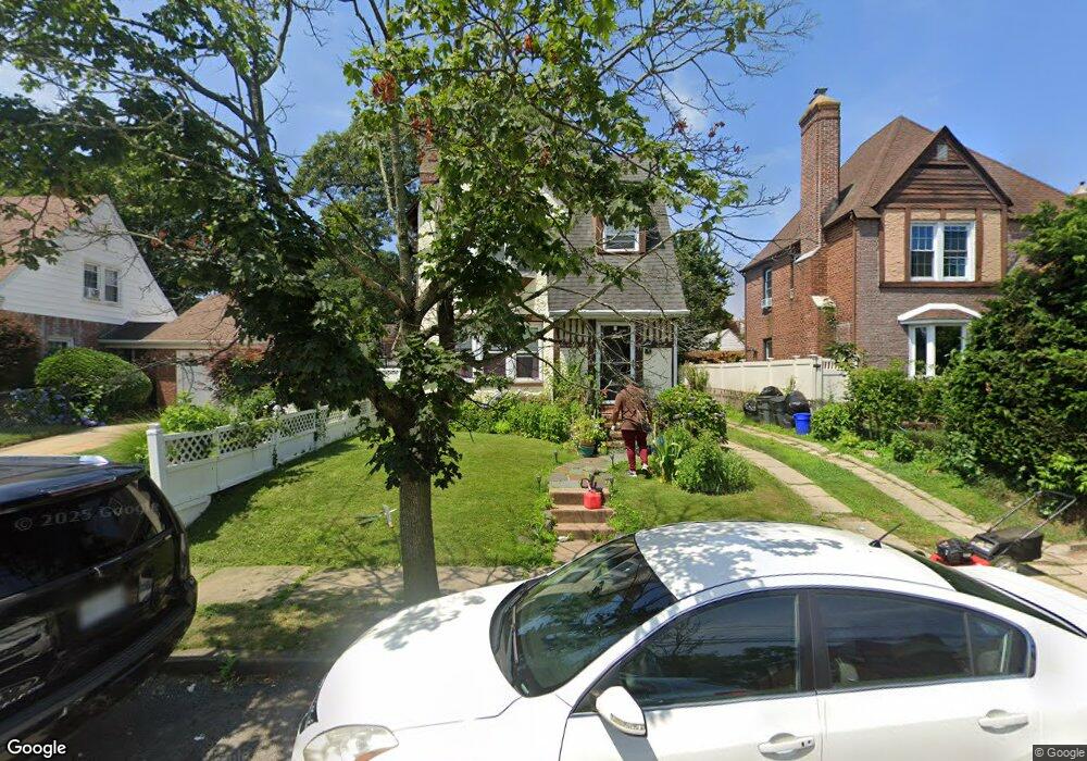
11 Dutchess St Freeport, NY 11520
Estimated Value: $660,376 - $667,000
4
Beds
2
Baths
1,438
Sq Ft
$462/Sq Ft
Est. Value
About This Home
This home is located at 11 Dutchess St, Freeport, NY 11520 and is currently estimated at $663,688, approximately $461 per square foot. 11 Dutchess St is a home located in Nassau County with nearby schools including Roosevelt Middle School, Roosevelt High School, and Roosevelt Children's Academy.
Ownership History
Date
Name
Owned For
Owner Type
Purchase Details
Closed on
Apr 22, 2009
Sold by
Charles Darlene
Bought by
Ware Michelle
Current Estimated Value
Purchase Details
Closed on
Dec 7, 2006
Sold by
Td Equities Inc
Bought by
Charles Darlene
Purchase Details
Closed on
May 25, 2006
Sold by
Castillo Catalina
Bought by
Td Equities Inc
Purchase Details
Closed on
Mar 25, 2003
Sold by
Perkins Gregory
Bought by
Robert Francis Inc
Create a Home Valuation Report for This Property
The Home Valuation Report is an in-depth analysis detailing your home's value as well as a comparison with similar homes in the area
Home Values in the Area
Average Home Value in this Area
Purchase History
| Date | Buyer | Sale Price | Title Company |
|---|---|---|---|
| Ware Michelle | $296,000 | -- | |
| Charles Darlene | $450,000 | -- | |
| Td Equities Inc | $272,000 | -- | |
| Robert Francis Inc | $225,000 | -- |
Source: Public Records
Tax History
| Year | Tax Paid | Tax Assessment Tax Assessment Total Assessment is a certain percentage of the fair market value that is determined by local assessors to be the total taxable value of land and additions on the property. | Land | Improvement |
|---|---|---|---|---|
| 2025 | $6,994 | $380 | $123 | $257 |
| 2024 | $865 | $380 | $123 | $257 |
| 2023 | $7,092 | $380 | $123 | $257 |
| 2022 | $7,092 | $379 | $123 | $256 |
| 2021 | $10,399 | $358 | $116 | $242 |
| 2020 | $7,505 | $630 | $386 | $244 |
| 2019 | $7,484 | $630 | $386 | $244 |
| 2018 | $7,264 | $630 | $0 | $0 |
| 2017 | $5,802 | $630 | $386 | $244 |
| 2016 | $6,748 | $630 | $386 | $244 |
| 2015 | $910 | $630 | $386 | $244 |
| 2014 | $910 | $630 | $386 | $244 |
| 2013 | $860 | $630 | $386 | $244 |
Source: Public Records
Map
Nearby Homes
- 12 King St
- 24 Pleasant Ave
- 65 Mount Joy Ave
- 48 Pleasant Ave
- 67 Ellison Ave
- 22 Colonial Ave
- 20 Sterling Place
- 41 W Fulton Ave
- 110 Woodside Ave
- 111 W Centennial Ave
- 188 Woodside Ave
- 200 Evans Ave
- 119 E Fulton Ave
- 400 N Columbus Ave
- 16 Scherer Place
- 35 W Seaman Ave
- 160 E Fulton Ave
- 139 New York Ave
- 315 Maryland Ave
- 255 Moore Ave
Your Personal Tour Guide
Ask me questions while you tour the home.