11 Dyer Ln Limerick, ME 04048
Estimated Value: $298,000 - $385,000
Studio
--
Bath
768
Sq Ft
$450/Sq Ft
Est. Value
About This Home
This home is located at 11 Dyer Ln, Limerick, ME 04048 and is currently estimated at $345,898, approximately $450 per square foot. 11 Dyer Ln is a home located in York County with nearby schools including Massabesic High School.
Create a Home Valuation Report for This Property
The Home Valuation Report is an in-depth analysis detailing your home's value as well as a comparison with similar homes in the area
Home Values in the Area
Average Home Value in this Area
Tax History
| Year | Tax Paid | Tax Assessment Tax Assessment Total Assessment is a certain percentage of the fair market value that is determined by local assessors to be the total taxable value of land and additions on the property. | Land | Improvement |
|---|---|---|---|---|
| 2025 | $2,631 | $276,925 | $93,604 | $183,321 |
| 2024 | $2,631 | $276,925 | $93,604 | $183,321 |
| 2023 | $2,326 | $153,009 | $48,175 | $104,834 |
| 2022 | $2,173 | $153,009 | $48,175 | $104,834 |
| 2021 | $2,032 | $122,407 | $38,540 | $83,867 |
| 2020 | $2,007 | $122,407 | $38,540 | $83,867 |
| 2019 | $1,928 | $122,407 | $38,540 | $83,867 |
| 2018 | $1,977 | $122,407 | $38,540 | $83,867 |
| 2017 | $1,928 | $122,407 | $38,540 | $83,867 |
| 2016 | $1,842 | $122,407 | $38,540 | $83,867 |
| 2015 | $1,787 | $122,407 | $38,540 | $83,867 |
| 2014 | $1,732 | $122,407 | $38,540 | $83,867 |
Source: Public Records
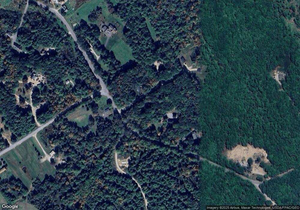
Map
Nearby Homes
- 545 Foss Rd
- 515 Range East Rd
- 451 Range E Rd
- 0 Stone Hill Rd
- 0 Mowry 0 Row Mowry Ln
- TBD Sokokis Trail & Beaver Brook Rd
- TBB Sokokis Trail & Beaver Brook Rd
- 590 Newfield Rd
- 50 Island Rd
- 148 Beaver Brook Rd
- M13L30 Clarks Bridge Rd
- 0 Island Rd Unit 1643509
- 92 Silver Ln
- 3 Division Rd
- TBD Division Dr
- 4 Deer Crossing Rd
- 5 Wescott St
- 0 Quarry Rd
- 240 Leisure Ln
- 157 Silver Ln
Your Personal Tour Guide
Ask me questions while you tour the home.