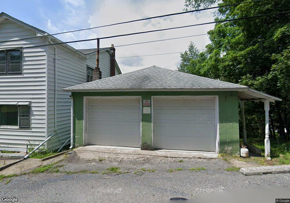
11 E High St Nesquehoning, PA 18240
Estimated Value: $109,000
Studio
--
Bath
--
Sq Ft
4,008
Sq Ft
About This Home
This home is located at 11 E High St, Nesquehoning, PA 18240 and is currently estimated at $109,000. 11 E High St is a home located in Carbon County with nearby schools including Panther Valley Elementary School, Panther Valley Intermediate School, and Panther Valley Junior/Senior High School.
Ownership History
Date
Name
Owned For
Owner Type
Purchase Details
Closed on
Jun 27, 2025
Sold by
Kuba Thomas E
Bought by
Marconi Anthony
Current Estimated Value
Purchase Details
Closed on
Mar 13, 2024
Sold by
Tax Claim Bureau Of The County Of Carbon
Bought by
Gombert Jason J
Purchase Details
Closed on
Dec 11, 2009
Sold by
Yanick Martha Jean and Estate Of Mary Lukish
Bought by
Gombert Jason J
Home Financials for this Owner
Home Financials are based on the most recent Mortgage that was taken out on this home.
Original Mortgage
$772
Interest Rate
5.02%
Mortgage Type
Purchase Money Mortgage
Create a Home Valuation Report for This Property
The Home Valuation Report is an in-depth analysis detailing your home's value as well as a comparison with similar homes in the area
Home Values in the Area
Average Home Value in this Area
Purchase History
| Date | Buyer | Sale Price | Title Company |
|---|---|---|---|
| Marconi Anthony | $5,750 | None Listed On Document | |
| Gombert Jason J | $1,250 | None Listed On Document | |
| Gombert Jason J | $25,000 | None Available |
Source: Public Records
Mortgage History
| Date | Status | Borrower | Loan Amount |
|---|---|---|---|
| Previous Owner | Gombert Jason J | $772 |
Source: Public Records
Tax History
| Year | Tax Paid | Tax Assessment Tax Assessment Total Assessment is a certain percentage of the fair market value that is determined by local assessors to be the total taxable value of land and additions on the property. | Land | Improvement |
|---|---|---|---|---|
| 2025 | $59 | $625 | $625 | $0 |
| 2024 | $39 | $400 | $400 | $0 |
| 2023 | $39 | $400 | $400 | $0 |
| 2022 | $39 | $400 | $400 | $0 |
| 2021 | $39 | $400 | $400 | $0 |
| 2020 | $38 | $400 | $400 | $0 |
| 2019 | $36 | $400 | $400 | $0 |
| 2018 | $36 | $400 | $400 | $0 |
| 2017 | $36 | $400 | $400 | $0 |
| 2016 | -- | $400 | $400 | $0 |
| 2015 | -- | $400 | $400 | $0 |
| 2014 | -- | $400 | $400 | $0 |
Source: Public Records
Map
Nearby Homes
- 68 E Railroad St
- 2 W Catawissa St
- 50 W Catawissa St
- 106 E Catawissa St
- 0 W High St
- 134 W Railroad St Unit 136
- 153 W High St
- 255 E Railroad St
- 12 Coal St
- 58 W Columbus Ave
- 1165 E Catawissa St
- 129 Lentz Trail
- 3 1st Ave
- 54 Coal St
- 419 E White Bear Dr
- 401 Highland Hill Rd
- 0 11th Ave Unit PM-131093
- 303 E Mountain Top Rd
- A591 Apple Lane & Stony Mountain
- 644 Center Ave
Your Personal Tour Guide
Ask me questions while you tour the home.