11 E Sand Pond Rd Limington, ME 04049
Hollis NeighborhoodEstimated Value: $384,325 - $529,000
--
Bed
--
Bath
--
Sq Ft
0.97
Acres
About This Home
This home is located at 11 E Sand Pond Rd, Limington, ME 04049 and is currently estimated at $467,831. 11 E Sand Pond Rd is a home located in York County with nearby schools including Bonny Eagle High School.
Ownership History
Date
Name
Owned For
Owner Type
Purchase Details
Closed on
Jun 6, 2022
Sold by
Jones Thomas E and Jones Beatrice A
Bought by
Jones Jeffrey and Jones Megan
Current Estimated Value
Home Financials for this Owner
Home Financials are based on the most recent Mortgage that was taken out on this home.
Original Mortgage
$150,000
Outstanding Balance
$142,094
Interest Rate
5.1%
Mortgage Type
Purchase Money Mortgage
Estimated Equity
$325,737
Create a Home Valuation Report for This Property
The Home Valuation Report is an in-depth analysis detailing your home's value as well as a comparison with similar homes in the area
Home Values in the Area
Average Home Value in this Area
Purchase History
| Date | Buyer | Sale Price | Title Company |
|---|---|---|---|
| Jones Jeffrey | -- | None Available |
Source: Public Records
Mortgage History
| Date | Status | Borrower | Loan Amount |
|---|---|---|---|
| Open | Jones Jeffrey | $150,000 |
Source: Public Records
Tax History Compared to Growth
Tax History
| Year | Tax Paid | Tax Assessment Tax Assessment Total Assessment is a certain percentage of the fair market value that is determined by local assessors to be the total taxable value of land and additions on the property. | Land | Improvement |
|---|---|---|---|---|
| 2025 | $4,296 | $383,550 | $123,750 | $259,800 |
| 2024 | $4,307 | $383,550 | $123,750 | $259,800 |
| 2023 | $3,924 | $383,550 | $123,750 | $259,800 |
| 2022 | $3,133 | $212,400 | $82,500 | $129,900 |
| 2021 | $2,804 | $212,400 | $82,500 | $129,900 |
| 2020 | $2,613 | $212,400 | $82,500 | $129,900 |
| 2019 | $2,613 | $212,400 | $82,500 | $129,900 |
| 2017 | $2,506 | $212,400 | $82,500 | $129,900 |
| 2016 | $2,390 | $212,400 | $82,500 | $129,900 |
| 2015 | $2,315 | $212,400 | $82,500 | $129,900 |
| 2014 | $2,315 | $212,400 | $82,500 | $129,900 |
| 2013 | $2,230 | $212,400 | $82,500 | $129,900 |
Source: Public Records
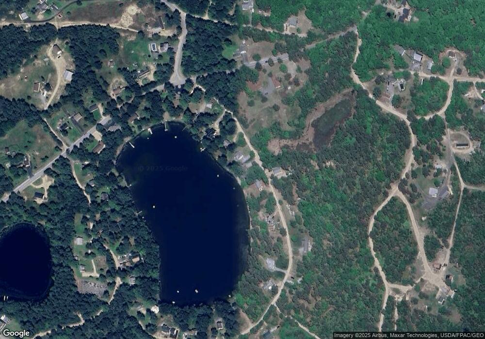
Map
Nearby Homes
- Lot 8 Pelletier Dr
- Lot 10 Pelletier Dr
- 7 Pelletier Dr
- 3 Lincoln Trail
- 530 Cape Rd
- 103 Hardscrabble Rd
- 541 Cape Rd
- 135 Bonny Eagle Rd
- 10 Chase Mill Rd
- 252 Plains Rd
- 23 Old Limerick Rd
- 23 Bonny Eagle Rd
- 1102 Cape Rd
- 2 Bonny Eagle Rd
- 4 Pelletier Dr
- 1044 Ossipee Trail W
- 57 Landry Dr
- 78 Ossipee Trail
- 19 Frank Savage Rd
- 193 Moody Rd
- 15 E Sand Pond Rd
- 9 E Sand Pond Rd
- 7 E Sand Pond Rd
- 459 E Sand Pond Rd
- 19 E Sand Pond Rd
- 5 E Sand Pond Rd
- 3 E Sand Pond Rd
- 460 Sand Pond Rd
- 1 E Sand Pond Rd
- 1 E East Sand Pond Rd
- 24 E Sand Pond Rd
- 25 E Sand Pond Rd
- 470 Sand Pond Rd
- 474 Sand Pond Rd
- 28-29 E Sand Pond
- 0 Sand Pond Rd
- 459 Sand Pond Rd
- 476 Sand Pond Rd
- 33 E Sand Pond Rd
- TBD Sand Pond Rd