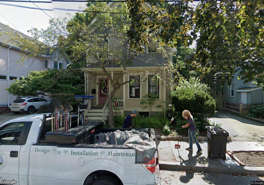
11 Elston St Somerville, MA 02144
Porter Square NeighborhoodEstimated Value: $1,354,000 - $2,245,000
4
Beds
2
Baths
1,972
Sq Ft
$859/Sq Ft
Est. Value
About This Home
This home is located at 11 Elston St, Somerville, MA 02144 and is currently estimated at $1,693,756, approximately $858 per square foot. 11 Elston St is a home located in Middlesex County with nearby schools including Somerville High School, Saint Theresa School, and St. Clement Elementary School.
Ownership History
Date
Name
Owned For
Owner Type
Purchase Details
Closed on
Jul 28, 1997
Sold by
Ely Richard and Tsiang Lynnette
Bought by
Jeka Mary R
Current Estimated Value
Create a Home Valuation Report for This Property
The Home Valuation Report is an in-depth analysis detailing your home's value as well as a comparison with similar homes in the area
Home Values in the Area
Average Home Value in this Area
Purchase History
| Date | Buyer | Sale Price | Title Company |
|---|---|---|---|
| Jeka Mary R | $289,000 | -- |
Source: Public Records
Mortgage History
| Date | Status | Borrower | Loan Amount |
|---|---|---|---|
| Open | Jeka Mary R | $222,000 | |
| Closed | Jeka Mary R | $238,000 | |
| Closed | Jeka Mary R | $218,000 |
Source: Public Records
Tax History Compared to Growth
Tax History
| Year | Tax Paid | Tax Assessment Tax Assessment Total Assessment is a certain percentage of the fair market value that is determined by local assessors to be the total taxable value of land and additions on the property. | Land | Improvement |
|---|---|---|---|---|
| 2025 | $16,981 | $1,556,500 | $854,700 | $701,800 |
| 2024 | $15,964 | $1,517,500 | $854,700 | $662,800 |
| 2023 | $15,077 | $1,458,100 | $854,700 | $603,400 |
| 2022 | $14,010 | $1,376,200 | $813,900 | $562,300 |
| 2021 | $13,525 | $1,327,300 | $808,000 | $519,300 |
| 2020 | $12,502 | $1,239,000 | $754,600 | $484,400 |
| 2019 | $12,756 | $1,185,500 | $736,000 | $449,500 |
| 2018 | $11,814 | $1,044,600 | $669,100 | $375,500 |
| 2017 | $11,218 | $961,300 | $631,300 | $330,000 |
| 2016 | $10,758 | $858,600 | $563,700 | $294,900 |
| 2015 | $10,169 | $806,400 | $520,600 | $285,800 |
Source: Public Records
Map
Nearby Homes
- 353 Summer St Unit 310
- 18 Windom St
- 371 Highland Ave
- 79 Willow Ave
- 7 Beech St Unit 319
- 7 Beech St Unit 211
- 12 Windsor Rd Unit 1
- 3 Fairlee St
- 34 Day St
- 8 Cogswell Ave
- 32-40 White St
- 12 Rindge Ave Unit 1
- 1 Richdale Ave Unit 2
- 23 Highland Rd
- 114 Cedar St
- 31 Rogers Ave
- 39 Rogers Ave
- 14 Mossland St
- 12 Mossland St
- 24 Cambridge Terrace Unit 2
- 15 Elston St
- 7 Elston St
- 20 Saint James Ave
- 20 Saint James Ave
- 20 Saint James Ave Unit 1
- 16 Saint James Ave
- 22 Saint James Ave
- 19 Elston St
- 14 Saint James Ave
- 14 Elston St Unit STEET
- 12 Elston St
- 26 Saint James Ave
- 26 Saint James Ave Unit 2
- 16 Elston St
- 16 Elston St Unit 1
- 16 Elston St Unit 2
- 167 Elm St
- 23 Elston St
- 20 Elston St
- 30 Saint James Ave