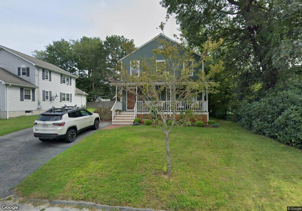
11 Eustis St Worcester, MA 01606
Burncoat NeighborhoodEstimated Value: $451,000 - $575,000
About This Home
This home is located at 11 Eustis St, Worcester, MA 01606 and is currently estimated at $517,870, approximately $292 per square foot. 11 Eustis St is a home located in Worcester County with nearby schools including Norrback Avenue Elementary School, Jacob Hiatt Magnet School, and Chandler Magnet.
Ownership History
We collect this data history from publicly available records. To have your information removed, we recommend requesting removal directly through your county’s website.
Purchase Details
Home Financials for this Owner
Home Financials are based on the most recent Mortgage that was taken out on this home.Home Values in the Area
Average Home Value in this Area
Purchase History
We collect this data history from publicly available records. To have your information removed, we recommend requesting removal directly through your county’s website.
| Date | Buyer | Sale Price | Title Company |
|---|---|---|---|
| $120,000 | -- |
Mortgage History
We collect this data history from publicly available records. To have your information removed, we recommend requesting removal directly through your county’s website.
| Date | Status | Borrower | Loan Amount |
|---|---|---|---|
| Open | $45,000 | ||
| Open | $114,000 | ||
| Closed | $114,000 |
Tax History
We collect this data history from publicly available records. To have your information removed, we recommend requesting removal directly through your county’s website.
| Year | Tax Paid | Tax Assessment Tax Assessment Total Assessment is a certain percentage of the fair market value that is determined by local assessors to be the total taxable value of land and additions on the property. | Land | Improvement |
|---|---|---|---|---|
| 2025 | $5,699 | $432,100 | $107,900 | $324,200 |
| 2024 | $5,570 | $405,100 | $107,900 | $297,200 |
| 2023 | $5,412 | $377,400 | $93,800 | $283,600 |
| 2022 | $5,015 | $329,700 | $75,100 | $254,600 |
| 2021 | $4,853 | $298,100 | $60,100 | $238,000 |
| 2020 | $4,692 | $276,000 | $60,100 | $215,900 |
| 2019 | $4,518 | $251,000 | $54,000 | $197,000 |
| 2018 | $4,482 | $237,000 | $54,000 | $183,000 |
| 2017 | $4,301 | $223,800 | $54,000 | $169,800 |
| 2016 | $4,334 | $210,300 | $40,900 | $169,400 |
| 2015 | $4,221 | $210,300 | $40,900 | $169,400 |
| 2014 | $4,109 | $210,300 | $40,900 | $169,400 |
Map
- 7 Darrow St
- 351 Maple St
- 670 Burncoat St Unit A
- 156 Hillside Village Dr
- 42 Wilbur St
- 42 Castine St Unit 1
- 42 Castine St
- 16 Oxford St
- 59 Castine St
- 28 Ladybank Rd
- 21 Arrowsic St
- 24 Park Villa Ave
- 14 Angell Brook Dr
- 85 Angell Brook Dr
- 6 Idalla Ave
- 25 Pheasant Hill Run
- 149 Woodland St
- 87 Malden St
- 29R E Mountain St
- 91 Bunkerhill Pkwy
- 13 Eustis St
- 11A Eustis St
- 11 Eustis St
- 15 Eustis St
- 15 Eustis St Unit B
- 15 Eustis St Unit A
- 29 Cliveden St
- 35 Cliveden St
- 10 Eustis St
- 12 Eustis St
- 25 Cliveden St
- 8B Eustis St
- 6 Eustis St
- 8A Eustis St
- 37 Cliveden St
- 16 Eustis St
- 30 Cliveden St
- 32 Cliveden St Unit 34
- 32 Cliveden St Unit 32
- 23 Cliveden St
Ask me questions while you tour the home.