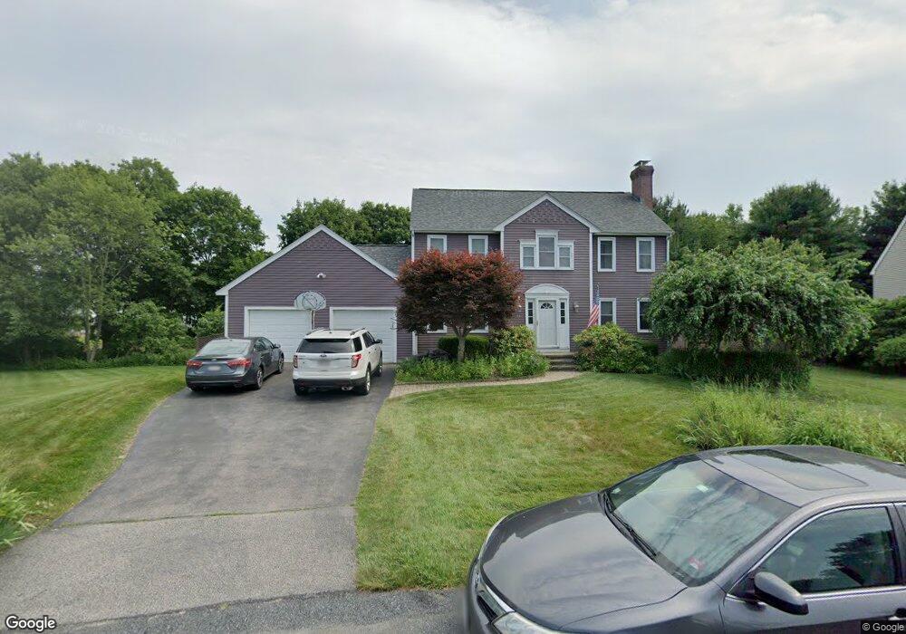
11 Farm Pond Path Mansfield, MA 02048
Estimated Value: $794,357 - $966,000
3
Beds
3
Baths
1,920
Sq Ft
$462/Sq Ft
Est. Value
About This Home
This home is located at 11 Farm Pond Path, Mansfield, MA 02048 and is currently estimated at $887,089, approximately $462 per square foot. 11 Farm Pond Path is a home located in Bristol County with nearby schools including Everett W. Robinson Elementary School, Jordan/Jackson Elementary School, and Harold L. Qualters Middle School.
Ownership History
Date
Name
Owned For
Owner Type
Purchase Details
Closed on
Jun 26, 2002
Sold by
Duncavage David J and Duncavage Kazuyo
Bought by
Price Gary R and Price Erin M
Current Estimated Value
Home Financials for this Owner
Home Financials are based on the most recent Mortgage that was taken out on this home.
Original Mortgage
$250,000
Outstanding Balance
$107,557
Interest Rate
6.92%
Mortgage Type
Purchase Money Mortgage
Estimated Equity
$779,532
Purchase Details
Closed on
Oct 27, 1995
Sold by
Creative Hsg Co Inc
Bought by
Duncavage David J and Duncavage Kazuyo S
Home Financials for this Owner
Home Financials are based on the most recent Mortgage that was taken out on this home.
Original Mortgage
$181,700
Interest Rate
7.6%
Mortgage Type
Purchase Money Mortgage
Create a Home Valuation Report for This Property
The Home Valuation Report is an in-depth analysis detailing your home's value as well as a comparison with similar homes in the area
Home Values in the Area
Average Home Value in this Area
Purchase History
| Date | Buyer | Sale Price | Title Company |
|---|---|---|---|
| Price Gary R | $450,000 | -- | |
| Duncavage David J | $227,220 | -- |
Source: Public Records
Mortgage History
| Date | Status | Borrower | Loan Amount |
|---|---|---|---|
| Open | Duncavage David J | $250,000 | |
| Previous Owner | Duncavage David J | $51,000 | |
| Previous Owner | Duncavage David J | $181,700 |
Source: Public Records
Tax History Compared to Growth
Tax History
| Year | Tax Paid | Tax Assessment Tax Assessment Total Assessment is a certain percentage of the fair market value that is determined by local assessors to be the total taxable value of land and additions on the property. | Land | Improvement |
|---|---|---|---|---|
| 2025 | $8,690 | $659,800 | $251,100 | $408,700 |
| 2024 | $8,712 | $645,300 | $262,600 | $382,700 |
| 2023 | $8,408 | $596,700 | $262,600 | $334,100 |
| 2022 | $8,073 | $532,200 | $243,100 | $289,100 |
| 2021 | $8,216 | $534,900 | $229,000 | $305,900 |
| 2020 | $8,093 | $526,900 | $229,000 | $297,900 |
| 2019 | $7,916 | $520,100 | $212,900 | $307,200 |
| 2018 | $3,084 | $504,500 | $202,900 | $301,600 |
| 2017 | $7,366 | $490,400 | $197,000 | $293,400 |
| 2016 | $7,377 | $478,700 | $216,200 | $262,500 |
| 2015 | $7,214 | $465,400 | $216,200 | $249,200 |
Source: Public Records
Map
Nearby Homes
- 12 Wilson Place
- 21 East St Unit 1D
- 16 East St Unit 2
- 72 Court St Unit B
- 72 Court St Unit A
- 38 Court St
- 28 Court St
- 28 Court St Unit 4
- 76 Samoset Ave
- 99 Pleasant St
- 241-243 N Main St
- 82 Brook St
- 22 Pleasant St Unit B
- 22 Pleasant St Unit A
- 14 School St
- 150 Rumford Ave Unit 222
- 442 Ware St
- 460 Ware St
- 34 Warren Ave
- 245 Willow St
- 7 Farm Pond Path
- 15 Farm Pond Path
- 3 Farm Pond Path
- 19 Farm Pond Path
- 21 Farm Pond Path
- 23 Farm Pond Path
- 20 Jakes Way
- 128 Branch St
- 24 Jakes Way
- 16 Jakes Way
- 28 Jakes Way
- 27 Farm Pond Path
- 2 Wagonwheel Way
- 3 Wagonwheel Way
- 12 Jakes Way
- 7 Horseshoe Loop
- 3 Horseshoe Loop
- 110 Branch St
- 32 Jakes Way
- 132 Branch St